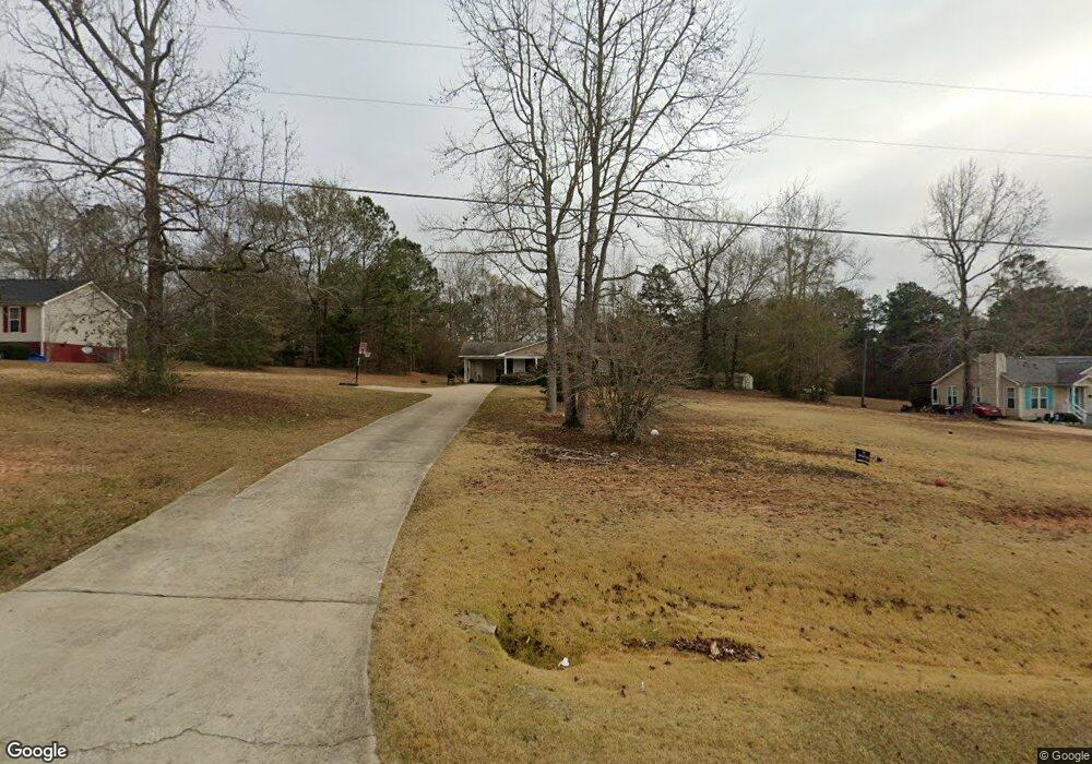
1858 Cannonville Rd Lagrange, GA 30240
Estimated Value: $182,553 - $224,000
3
Beds
2
Baths
1,017
Sq Ft
$203/Sq Ft
Est. Value
About This Home
This home is located at 1858 Cannonville Rd, Lagrange, GA 30240 and is currently estimated at $206,888, approximately $203 per square foot. 1858 Cannonville Rd is a home located in Troup County with nearby schools including Long Cane Elementary School, Berta Weathersbee Elementary School, and Whitesville Road Elementary School.
Ownership History
Date
Name
Owned For
Owner Type
Purchase Details
Closed on
Aug 13, 2014
Sold by
Sledge Ernest Stuart
Bought by
Sledge Diane C
Current Estimated Value
Purchase Details
Closed on
Jul 16, 2004
Sold by
Richlan Properties Unlimited
Bought by
Sledge Ernest Stuart
Purchase Details
Closed on
Mar 5, 2004
Sold by
Richard A Haralson
Bought by
Richlan Properties Unlimited
Purchase Details
Closed on
Mar 22, 1996
Sold by
Patsy Fincher
Bought by
Richard A Haralson
Purchase Details
Closed on
Jul 18, 1994
Sold by
Billy Ray Fincher
Bought by
Patsy Fincher
Purchase Details
Closed on
Jun 7, 1985
Bought by
Billy Ray Fincher
Purchase Details
Closed on
Feb 17, 1979
Purchase Details
Closed on
Dec 14, 1976
Purchase Details
Closed on
Oct 22, 1976
Purchase Details
Closed on
Jan 1, 1971
Purchase Details
Closed on
Jan 1, 1968
Create a Home Valuation Report for This Property
The Home Valuation Report is an in-depth analysis detailing your home's value as well as a comparison with similar homes in the area
Home Values in the Area
Average Home Value in this Area
Purchase History
| Date | Buyer | Sale Price | Title Company |
|---|---|---|---|
| Sledge Diane C | -- | -- | |
| Sledge Ernest Stuart | $78,000 | -- | |
| Richlan Properties Unlimited | $63,000 | -- | |
| Richard A Haralson | $60,000 | -- | |
| Patsy Fincher | -- | -- | |
| Billy Ray Fincher | $48,000 | -- | |
| -- | $40,500 | -- | |
| -- | $31,500 | -- | |
| -- | $28,000 | -- | |
| -- | $2,800 | -- | |
| -- | -- | -- |
Source: Public Records
Tax History Compared to Growth
Tax History
| Year | Tax Paid | Tax Assessment Tax Assessment Total Assessment is a certain percentage of the fair market value that is determined by local assessors to be the total taxable value of land and additions on the property. | Land | Improvement |
|---|---|---|---|---|
| 2024 | $1,402 | $51,400 | $15,400 | $36,000 |
| 2023 | $1,387 | $50,840 | $15,400 | $35,440 |
| 2022 | $1,233 | $44,160 | $11,000 | $33,160 |
| 2021 | $984 | $32,640 | $11,000 | $21,640 |
| 2020 | $852 | $28,240 | $6,600 | $21,640 |
| 2019 | $887 | $29,400 | $6,600 | $22,800 |
| 2018 | $715 | $23,720 | $5,800 | $17,920 |
| 2017 | $715 | $23,720 | $5,800 | $17,920 |
| 2016 | $697 | $23,113 | $5,800 | $17,313 |
| 2015 | $675 | $22,349 | $5,800 | $16,549 |
| 2014 | $650 | $21,478 | $5,800 | $15,678 |
| 2013 | -- | $22,486 | $5,800 | $16,686 |
Source: Public Records
Map
Nearby Homes
- 0 Hanson Dr Unit 10641272
- 275 Hanson Dr
- 1248 Cannonville Rd
- 640 Hudson Rd
- 22 Freeman Rd
- 266 Glass Bridge Rd
- 103 Hawthorne Cir
- 0 Robert Hayes Rd Unit 10611067
- 288 Bradfield Dr
- 110 Hawthorne Cir
- 808 S Fling Rd
- 114 Westgate Dr
- 345 Robert Taylor Rd
- 102 Franklin Place
- 118 Woodstream Trail
- 0 Bradfield Dr Unit 10568803
- 102 Foxdale Dr
- 0 Cannonville Rd
- 119 Plymouth Dr
- 610 Ginger Cir
- 1848 Cannonville Rd
- 1868 Cannonville Rd
- 1900 Cannonville Rd
- 1804 Cannonville Rd
- 1911 Cannonville Rd
- 1922 Cannonville Rd
- 1788 Cannonville Rd
- 1925 Cannonville Rd
- 6035 Old West Point Rd
- 6085 Old West Point Rd
- 6015 Old West Point Rd
- 1941 Cannonville Rd
- 6003 Old West Point Rd
- 6010 Old West Point Rd
- 5043 Old West Point Rd
- 6006 Old West Point Rd
- 6004 Old West Point Rd
- 5041 Old West Point Rd
- 6002 Old West Point Rd
- 16 Hudson Rd