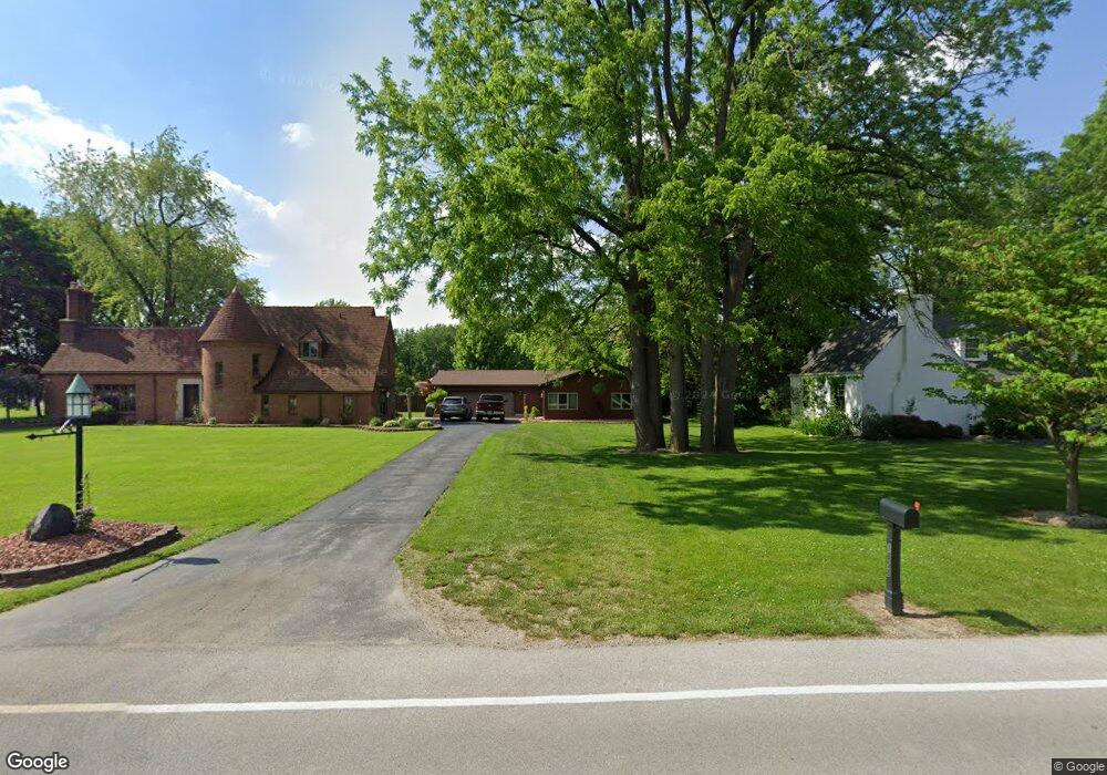
1858 Port Clinton Rd Fremont, OH 43420
Estimated Value: $217,000 - $249,000
2
Beds
2
Baths
2,145
Sq Ft
$112/Sq Ft
Est. Value
About This Home
This home is located at 1858 Port Clinton Rd, Fremont, OH 43420 and is currently estimated at $239,501, approximately $111 per square foot. 1858 Port Clinton Rd is a home located in Sandusky County with nearby schools including Fremont Ross High School, St. Ann Catholic School, and Bishop Hoffman Catholic School - This is St Joe's School now.
Ownership History
Date
Name
Owned For
Owner Type
Purchase Details
Closed on
Aug 18, 1997
Sold by
Kramer Donald J
Bought by
Chirsty Hal R and Chirsty Donna M
Current Estimated Value
Home Financials for this Owner
Home Financials are based on the most recent Mortgage that was taken out on this home.
Original Mortgage
$165,000
Outstanding Balance
$25,102
Interest Rate
7.71%
Mortgage Type
New Conventional
Estimated Equity
$214,399
Purchase Details
Closed on
Aug 1, 1992
Bought by
Christy Hal Randolph and Christy Donna M
Create a Home Valuation Report for This Property
The Home Valuation Report is an in-depth analysis detailing your home's value as well as a comparison with similar homes in the area
Home Values in the Area
Average Home Value in this Area
Purchase History
| Date | Buyer | Sale Price | Title Company |
|---|---|---|---|
| Chirsty Hal R | $184,000 | -- | |
| Christy Hal Randolph | -- | -- |
Source: Public Records
Mortgage History
| Date | Status | Borrower | Loan Amount |
|---|---|---|---|
| Open | Chirsty Hal R | $165,000 |
Source: Public Records
Tax History Compared to Growth
Tax History
| Year | Tax Paid | Tax Assessment Tax Assessment Total Assessment is a certain percentage of the fair market value that is determined by local assessors to be the total taxable value of land and additions on the property. | Land | Improvement |
|---|---|---|---|---|
| 2024 | $2,347 | $72,170 | $20,580 | $51,590 |
| 2023 | $2,720 | $57,440 | $16,450 | $40,990 |
| 2022 | $2,301 | $57,440 | $16,450 | $40,990 |
| 2021 | $2,780 | $57,440 | $16,450 | $40,990 |
| 2020 | $2,574 | $51,590 | $16,450 | $35,140 |
| 2019 | $3,074 | $62,790 | $16,450 | $46,340 |
| 2018 | $2,994 | $62,790 | $16,450 | $46,340 |
| 2017 | $2,910 | $58,590 | $16,450 | $42,140 |
| 2016 | $2,616 | $58,590 | $16,450 | $42,140 |
| 2015 | $2,581 | $58,590 | $16,450 | $42,140 |
| 2014 | $2,686 | $58,530 | $16,070 | $42,460 |
| 2013 | $2,638 | $58,530 | $16,070 | $42,460 |
Source: Public Records
Map
Nearby Homes
- 1730 Port Clinton Rd Unit 41
- 1730 Port Clinton Rd
- 1730 Port Clinton Rd Unit 33
- 0 Sean Dr
- Outlot A Sean Dr
- 711 Bloom Rd
- 2100 Ohio 53
- 900 Spring St
- 612 2nd St
- 533 Sandusky Ave Unit 535
- 711 Rawson Ave
- 1441 White Ave
- 1227 White Ave
- 433 Sandusky Ave
- 340 340 Sandusky Ave
- 516 N Front St
- 818 Franklin Ave
- 224 Sandusky Ave Unit 226
- 427 N Clover St
- 1707 North St
- 1933 Melody Dr
- 1870 Port Clinton Rd
- 1925 Melody Dr
- 1939 Melody Dr
- 1880 Port Clinton Rd
- 1945 Melody Dr
- 1917 Melody Dr
- 1838 Port Clinton Rd
- 1930 Melody Dr
- 1940 Melody Dr
- 1865 Port Clinton Rd
- 1855 Port Clinton Rd
- 1886 Port Clinton Rd
- 1951 Melody Dr
- 1911 Melody Dr
- 1871 Port Clinton Rd
- 1847 Port Clinton Rd
- 1910 Melody Dr
- 1956 Melody Dr
- 1830 Port Clinton Rd