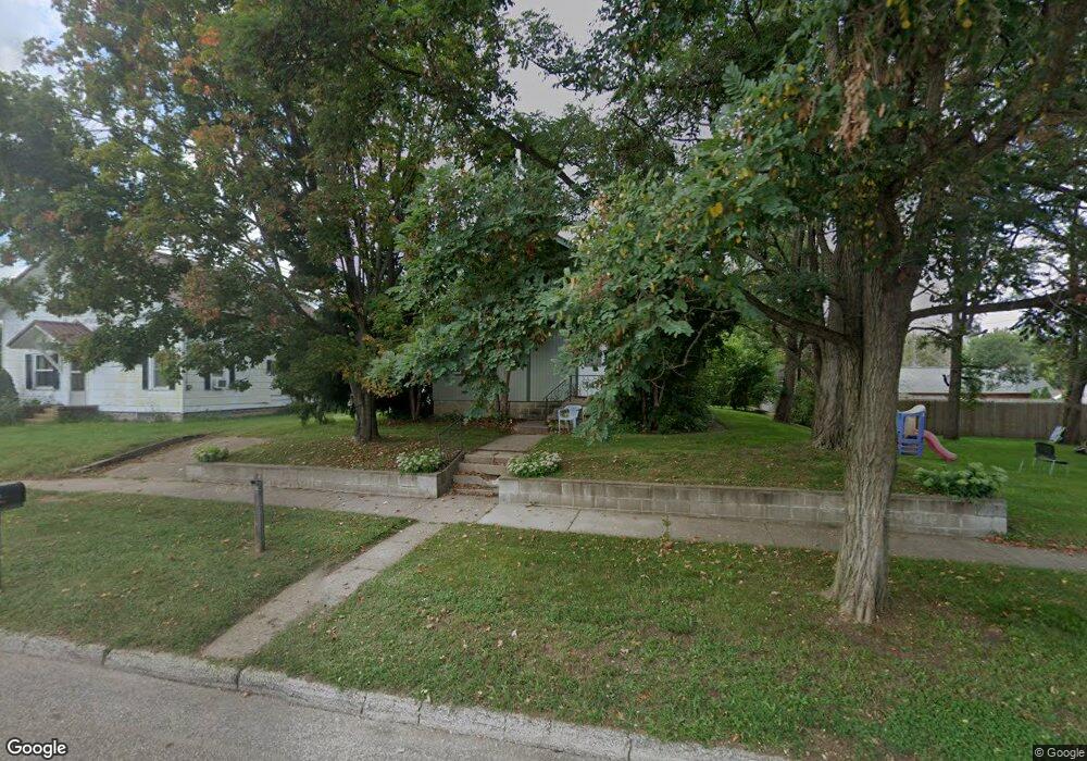
18584 Blair St Whitehall, WI 54773
Estimated Value: $139,214 - $173,000
--
Bed
--
Bath
--
Sq Ft
7,187
Sq Ft Lot
About This Home
This home is located at 18584 Blair St, Whitehall, WI 54773 and is currently estimated at $161,304. 18584 Blair St is a home located in Trempealeau County with nearby schools including Whitehall Memorial Elementary School, Whitehall Memorial Jr./Sr. High School, and Fly Creek Amish School.
Ownership History
Date
Name
Owned For
Owner Type
Purchase Details
Closed on
Jan 27, 2011
Sold by
Anderson Keven J
Bought by
Anderson Tammy L
Current Estimated Value
Home Financials for this Owner
Home Financials are based on the most recent Mortgage that was taken out on this home.
Original Mortgage
$95,950
Outstanding Balance
$65,936
Interest Rate
4.87%
Mortgage Type
FHA
Estimated Equity
$95,368
Purchase Details
Closed on
May 20, 2005
Sold by
Sesvold Dianne M
Bought by
Sesvold Michael J
Create a Home Valuation Report for This Property
The Home Valuation Report is an in-depth analysis detailing your home's value as well as a comparison with similar homes in the area
Home Values in the Area
Average Home Value in this Area
Purchase History
| Date | Buyer | Sale Price | Title Company |
|---|---|---|---|
| Anderson Tammy L | -- | None Available | |
| Sesvold Michael J | $20,000 | None Available |
Source: Public Records
Mortgage History
| Date | Status | Borrower | Loan Amount |
|---|---|---|---|
| Open | Anderson Tammy L | $95,950 |
Source: Public Records
Tax History Compared to Growth
Tax History
| Year | Tax Paid | Tax Assessment Tax Assessment Total Assessment is a certain percentage of the fair market value that is determined by local assessors to be the total taxable value of land and additions on the property. | Land | Improvement |
|---|---|---|---|---|
| 2024 | $2,124 | $101,200 | $5,900 | $95,300 |
| 2023 | $2,027 | $101,200 | $5,900 | $95,300 |
| 2022 | $2,002 | $101,200 | $5,900 | $95,300 |
| 2021 | $1,973 | $68,100 | $5,900 | $62,200 |
| 2020 | $1,900 | $12,120 | $5,900 | $6,220 |
| 2019 | $1,860 | $68,100 | $5,900 | $62,200 |
| 2018 | $1,680 | $68,100 | $5,900 | $62,200 |
| 2017 | $1,727 | $68,100 | $5,900 | $62,200 |
| 2016 | $1,683 | $68,100 | $5,900 | $62,200 |
| 2015 | $1,626 | $68,100 | $5,900 | $62,200 |
| 2014 | $1,546 | $68,100 | $5,900 | $62,200 |
| 2011 | $1,359 | $53,800 | $5,400 | $48,400 |
Source: Public Records
Map
Nearby Homes
- 36015 Main St
- 36290 Camp St
- 18430 Hillside Dr
- 18144 Anderson St
- 18124 Fredrickson St
- N36836 Us Highway 53 121
- N32838 Briten Rd
- 36121 Ash St
- 35979 Osseo Rd
- 35433 Wayne St
- 23898 Adams St
- 23942 Tracy St
- N34701 County Rd N
- N34855 County Rd S
- N30732 Square Bluff Rd
- 39971 Anderson St
- 517 W Broadway St
- 39885 Winsand Dr
- 102 S Peterson Ave
- N34701 County Rd S
- 18573 Blair St
- 18587 Blair St
- 18592 Blair St
- 36487 Ellis St
- 36463 Ellis St
- 36469 Ellis St
- 36487 Ellis St
- 36472 Ellis St
- 36496 Ellis St
- 36502 Ellis St
- 36432 Hancock St
- 36484 Hancock St
- 18529 Blair St
- 18592 Scranton St Unit 2
- 36485 Ellis St
- 36496 Hancock St
- 18576 Scranton St
- 36437 Hancock St
- 36487 Hancock St
- 36443 Hancock St