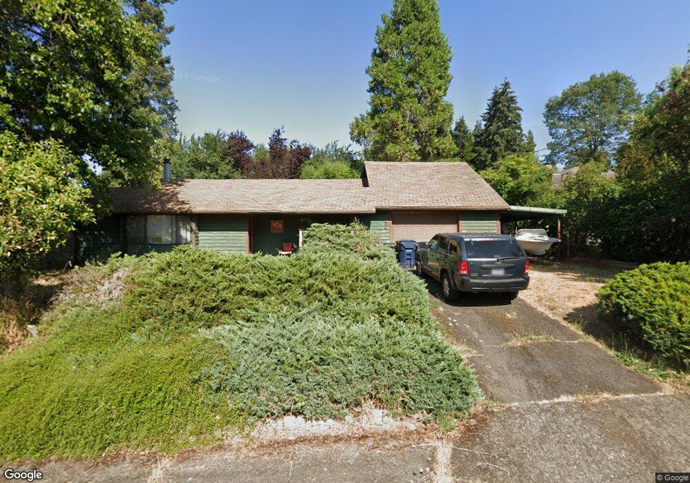
1859 Buck St Eugene, OR 97405
Churchill NeighborhoodEstimated Value: $366,000 - $538,000
2
Beds
1
Bath
1,610
Sq Ft
$283/Sq Ft
Est. Value
About This Home
This home is located at 1859 Buck St, Eugene, OR 97405 and is currently estimated at $456,195, approximately $283 per square foot. 1859 Buck St is a home located in Lane County with nearby schools including McCornack Elementary School, Kennedy Middle School, and Churchill High School.
Ownership History
Date
Name
Owned For
Owner Type
Purchase Details
Closed on
Jan 7, 1996
Sold by
Reager Max W and Reager Sandra J
Bought by
Ball William C and Reager Lisa M
Current Estimated Value
Home Financials for this Owner
Home Financials are based on the most recent Mortgage that was taken out on this home.
Original Mortgage
$92,000
Interest Rate
9.5%
Mortgage Type
Seller Take Back
Create a Home Valuation Report for This Property
The Home Valuation Report is an in-depth analysis detailing your home's value as well as a comparison with similar homes in the area
Home Values in the Area
Average Home Value in this Area
Purchase History
| Date | Buyer | Sale Price | Title Company |
|---|---|---|---|
| Ball William C | $95,000 | -- |
Source: Public Records
Mortgage History
| Date | Status | Borrower | Loan Amount |
|---|---|---|---|
| Previous Owner | Ball William C | $92,000 |
Source: Public Records
Tax History
| Year | Tax Paid | Tax Assessment Tax Assessment Total Assessment is a certain percentage of the fair market value that is determined by local assessors to be the total taxable value of land and additions on the property. | Land | Improvement |
|---|---|---|---|---|
| 2025 | $4,128 | $211,881 | -- | -- |
| 2024 | $4,077 | $205,710 | -- | -- |
| 2023 | $4,077 | $199,719 | $0 | $0 |
| 2022 | $3,819 | $193,902 | $0 | $0 |
| 2021 | $3,587 | $188,255 | $0 | $0 |
| 2020 | $3,600 | $182,772 | $0 | $0 |
| 2019 | $3,477 | $177,449 | $0 | $0 |
| 2018 | $3,273 | $167,263 | $0 | $0 |
| 2017 | $3,126 | $167,263 | $0 | $0 |
| 2016 | $3,048 | $162,391 | $0 | $0 |
| 2015 | $2,961 | $157,661 | $0 | $0 |
| 2014 | $2,858 | $153,069 | $0 | $0 |
Source: Public Records
Map
Nearby Homes
- 3315 W 18th Ave
- 0 W 18th Ave Unit LOT 2
- 0 W 18th Ave Unit LOT 3
- 1945 Sunrise Blvd
- 1910 Hawkins Ln
- 2953 W 15th Ave
- 1438 Quaker St
- 1365 Quaker St
- 1432 Fetters Loop
- 2145 Hawkins Ln Unit 30
- 1326 Quaker St
- 3534 Westleigh St
- 3423 W 25th Ave
- 1509 Mckinley St
- 2279 City View St
- 2330 W 14th Ave
- 3705 Peppertree Dr
- 2610 Park Forest Dr
- 2490 Panorama Dr
- 2430 Wilson Dr
Your Personal Tour Guide
Ask me questions while you tour the home.