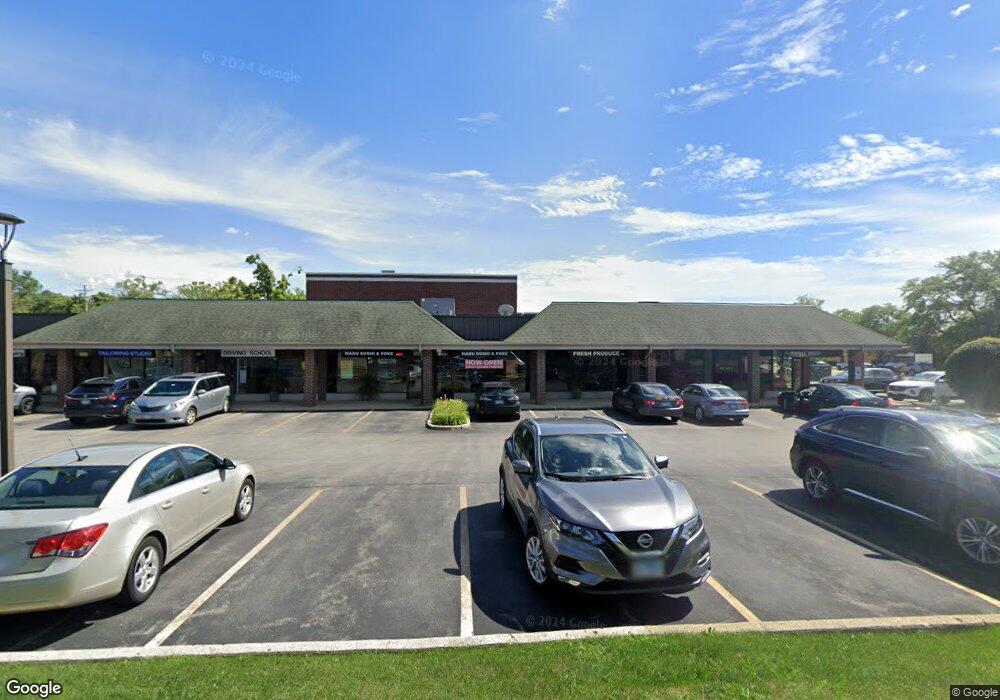
1859 Waukegan Rd Glenview, IL 60025
Estimated Value: $2,165,024
--
Bed
--
Bath
11,758
Sq Ft
$184/Sq Ft
Est. Value
About This Home
This home is located at 1859 Waukegan Rd, Glenview, IL 60025 and is currently estimated at $2,165,024, approximately $184 per square foot. 1859 Waukegan Rd is a home located in Cook County with nearby schools including Lyon Elementary School, Pleasant Ridge Elementary School, and Attea Middle School.
Ownership History
Date
Name
Owned For
Owner Type
Purchase Details
Closed on
Mar 30, 2016
Sold by
Chicago Title Land Trust Co
Bought by
Glenview Waukegan Llc
Current Estimated Value
Create a Home Valuation Report for This Property
The Home Valuation Report is an in-depth analysis detailing your home's value as well as a comparison with similar homes in the area
Home Values in the Area
Average Home Value in this Area
Purchase History
| Date | Buyer | Sale Price | Title Company |
|---|---|---|---|
| Glenview Waukegan Llc | $1,450,000 | Chicago Title Land Trust Com |
Source: Public Records
Tax History Compared to Growth
Tax History
| Year | Tax Paid | Tax Assessment Tax Assessment Total Assessment is a certain percentage of the fair market value that is determined by local assessors to be the total taxable value of land and additions on the property. | Land | Improvement |
|---|---|---|---|---|
| 2024 | $78,850 | $356,250 | $233,347 | $122,903 |
| 2023 | $80,960 | $356,250 | $233,347 | $122,903 |
| 2022 | $80,960 | $376,390 | $233,347 | $143,043 |
| 2021 | $76,659 | $308,000 | $233,346 | $74,654 |
| 2020 | $75,751 | $308,000 | $233,346 | $74,654 |
| 2019 | $80,396 | $385,440 | $233,346 | $152,094 |
| 2018 | $59,217 | $257,475 | $158,342 | $99,133 |
| 2017 | $57,639 | $257,475 | $158,342 | $99,133 |
| 2016 | $54,464 | $257,475 | $158,342 | $99,133 |
| 2015 | $59,942 | $251,714 | $138,896 | $112,818 |
| 2014 | $58,845 | $251,714 | $138,896 | $112,818 |
| 2013 | $57,051 | $251,714 | $138,896 | $112,818 |
Source: Public Records
Map
Nearby Homes
- 1743 Melise Dr
- 1740 Melise Dr
- 1847 Tanglewood Dr Unit 3B
- 1847 Tanglewood Dr Unit 2B
- 1855 Tanglewood Dr Unit F
- 2101 Valley lo Ln
- 1410 Tuscany Ct
- 1508 Pebblecreek Dr Unit 14
- 1719 Wildberry Dr Unit B
- 2000 Chestnut Ave Unit 103
- 1429 Pebblecreek Dr Unit 171
- 1553 Hawthorne Ln
- 431 4th St
- 1050 Burton Terrace
- 804 8th St
- 1342 Pine St
- 1341 Greenwillow Ln Unit C
- 1752 Maclean Ct
- 1841 Waukegan Rd
- 1877 Waukegan Rd
- 1871 Waukegan Rd
- 1873 Waukegan Rd
- 1640 Pleasant Ln
- 1600 Pleasant Ln
- 1838 Waukegan Rd
- 1831 N Waukegan Rd
- 1525 Ammer Rd
- 1520 Pleasant Ln
- 1831 Waukegan Rd
- 1829 Waukegan Rd
- 1529 Ammer Rd
- 1635 Pleasant Ln
- 1515 Ammer Rd
- 1825 Waukegan Rd
- 1942 Waukegan Rd
- 1910 Waukegan Rd
- 1823 Waukegan Rd
- 1490 Pleasant Ln