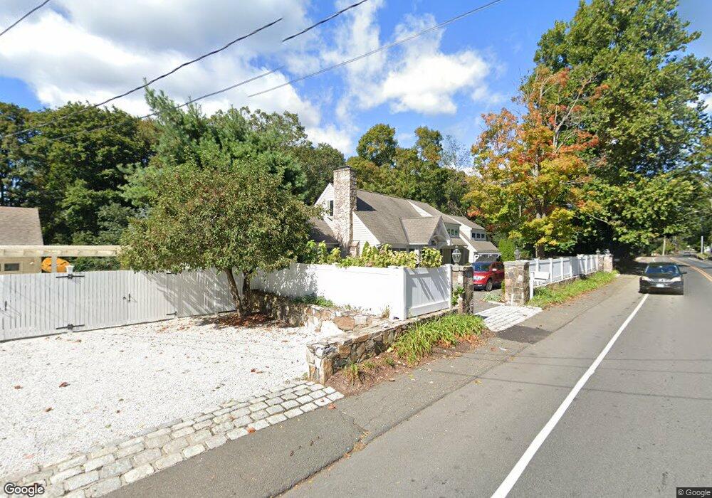
186 Compo Rd S Westport, CT 06880
Westport Village NeighborhoodEstimated Value: $1,878,000 - $2,095,000
3
Beds
4
Baths
2,906
Sq Ft
$675/Sq Ft
Est. Value
About This Home
This home is located at 186 Compo Rd S, Westport, CT 06880 and is currently estimated at $1,960,279, approximately $674 per square foot. 186 Compo Rd S is a home located in Fairfield County with nearby schools including Saugatuck Elementary School, Bedford Middle School, and Staples High School.
Ownership History
Date
Name
Owned For
Owner Type
Purchase Details
Closed on
Dec 12, 2014
Sold by
Ruskin Keith
Bought by
Ruskin Andrea
Current Estimated Value
Purchase Details
Closed on
Jun 29, 2011
Sold by
Beauclair Gerard L and Beauclair Regis A
Bought by
Ruskin Keith and Ruskin Andrea
Purchase Details
Closed on
Aug 23, 2002
Sold by
Beer Robert F and Beer Karin M
Bought by
Beauclair Gerard L and Beauclair Regis A
Purchase Details
Closed on
Oct 19, 2000
Sold by
Space Kenneth
Bought by
Beer Robert and Beer Karin
Create a Home Valuation Report for This Property
The Home Valuation Report is an in-depth analysis detailing your home's value as well as a comparison with similar homes in the area
Home Values in the Area
Average Home Value in this Area
Purchase History
| Date | Buyer | Sale Price | Title Company |
|---|---|---|---|
| Ruskin Andrea | -- | -- | |
| Ruskin Andrea | -- | -- | |
| Ruskin Keith | $1,075,000 | -- | |
| Ruskin Keith | $1,075,000 | -- | |
| Beauclair Gerard L | $910,000 | -- | |
| Beauclair Gerard L | $910,000 | -- | |
| Beer Robert | $410,000 | -- | |
| Beer Robert | $410,000 | -- |
Source: Public Records
Mortgage History
| Date | Status | Borrower | Loan Amount |
|---|---|---|---|
| Previous Owner | Beer Robert | $461,500 | |
| Previous Owner | Beer Robert | $584,000 |
Source: Public Records
Tax History
| Year | Tax Paid | Tax Assessment Tax Assessment Total Assessment is a certain percentage of the fair market value that is determined by local assessors to be the total taxable value of land and additions on the property. | Land | Improvement |
|---|---|---|---|---|
| 2025 | $13,960 | $740,200 | $336,000 | $404,200 |
| 2024 | $13,783 | $740,200 | $336,000 | $404,200 |
| 2023 | $13,583 | $740,200 | $336,000 | $404,200 |
| 2022 | $13,375 | $740,200 | $336,000 | $404,200 |
| 2021 | $8,568 | $740,200 | $336,000 | $404,200 |
| 2020 | $8,255 | $749,800 | $354,900 | $394,900 |
| 2019 | $12,642 | $749,800 | $354,900 | $394,900 |
| 2018 | $8,255 | $749,800 | $354,900 | $394,900 |
| 2017 | $8,063 | $749,800 | $354,900 | $394,900 |
| 2016 | $12,642 | $749,800 | $354,900 | $394,900 |
| 2015 | $10,928 | $604,100 | $261,200 | $342,900 |
| 2014 | $10,838 | $604,100 | $261,200 | $342,900 |
Source: Public Records
Map
Nearby Homes
- 23 Bridge St
- 5 Franklin Ave
- 32 Narrow Rocks Rd
- 3 Laurel Ln
- 31 Franklin St
- 11 Manitou Ct
- 29 Guyer Rd
- 39 Compo Pkwy
- 24 Compo Pkwy
- 26 Treadwell Ave
- 102 Compo Rd S
- 9 Pond Edge Rd
- 5 Over Rock Ln
- 79 Riverside Ave
- 11 Dogwood Ln
- 32 Edgewater Hillside
- 69 Grove Point
- 14 Owenoke Park
- 24 Edgemarth Hill Rd
- 123 Greens Farms Rd
- 186A Compo Rd S
- 188 Compo Rd S
- 2 Farnham Ct
- 190 Compo Rd S
- 184 Compo Rd S
- 35 Bridge St Unit 112
- 35 Bridge St Unit 201
- 35 Bridge St Unit 210
- 35 Bridge St Unit 113
- 35 Bridge St Unit 302
- 35 Bridge St Unit 214
- 35 Bridge St Unit 305
- 35 Bridge St Unit 102
- 35 Bridge St Unit 308
- 35 Bridge St
- 35 Bridge St Unit 101
- 35 Bridge St Unit 208
- 35 Bridge St Unit 110
- 35 Bridge St Unit 103
- 35 Bridge St Unit 104