186 Falcon Crest Rd Middlebury, CT 06762
Estimated Value: $671,512 - $940,000
4
Beds
3
Baths
2,709
Sq Ft
$285/Sq Ft
Est. Value
About This Home
This home is located at 186 Falcon Crest Rd, Middlebury, CT 06762 and is currently estimated at $771,378, approximately $284 per square foot. 186 Falcon Crest Rd is a home located in New Haven County with nearby schools including Middlebury Elementary School, Memorial Middle School, and Pomperaug Regional High School.
Ownership History
Date
Name
Owned For
Owner Type
Purchase Details
Closed on
Feb 28, 1991
Sold by
Gee Thomas J and Gee Jean I
Bought by
Considine Jean Ann and Fote Paddy
Current Estimated Value
Home Financials for this Owner
Home Financials are based on the most recent Mortgage that was taken out on this home.
Original Mortgage
$212,000
Interest Rate
9.69%
Mortgage Type
Purchase Money Mortgage
Create a Home Valuation Report for This Property
The Home Valuation Report is an in-depth analysis detailing your home's value as well as a comparison with similar homes in the area
Home Values in the Area
Average Home Value in this Area
Purchase History
| Date | Buyer | Sale Price | Title Company |
|---|---|---|---|
| Considine Jean Ann | $326,250 | -- |
Source: Public Records
Mortgage History
| Date | Status | Borrower | Loan Amount |
|---|---|---|---|
| Open | Considine Jean Ann | $200,000 | |
| Closed | Considine Jean Ann | $185,000 | |
| Closed | Considine Jean Ann | $212,000 | |
| Previous Owner | Considine Jean Ann | $193,000 |
Source: Public Records
Tax History Compared to Growth
Tax History
| Year | Tax Paid | Tax Assessment Tax Assessment Total Assessment is a certain percentage of the fair market value that is determined by local assessors to be the total taxable value of land and additions on the property. | Land | Improvement |
|---|---|---|---|---|
| 2025 | $11,080 | $340,700 | $94,600 | $246,100 |
| 2024 | $11,107 | $340,700 | $94,600 | $246,100 |
| 2023 | $10,991 | $340,700 | $94,600 | $246,100 |
| 2022 | $10,650 | $340,700 | $94,600 | $246,100 |
| 2021 | $10,355 | $297,300 | $104,700 | $192,600 |
| 2020 | $10,435 | $297,300 | $104,700 | $192,600 |
| 2019 | $9,930 | $297,300 | $104,700 | $192,600 |
| 2018 | $9,665 | $297,300 | $104,700 | $192,600 |
| 2017 | $9,362 | $297,300 | $104,700 | $192,600 |
| 2016 | $9,551 | $308,000 | $122,500 | $185,500 |
| 2015 | $9,277 | $308,000 | $122,500 | $185,500 |
| 2014 | $9,037 | $308,000 | $122,500 | $185,500 |
Source: Public Records
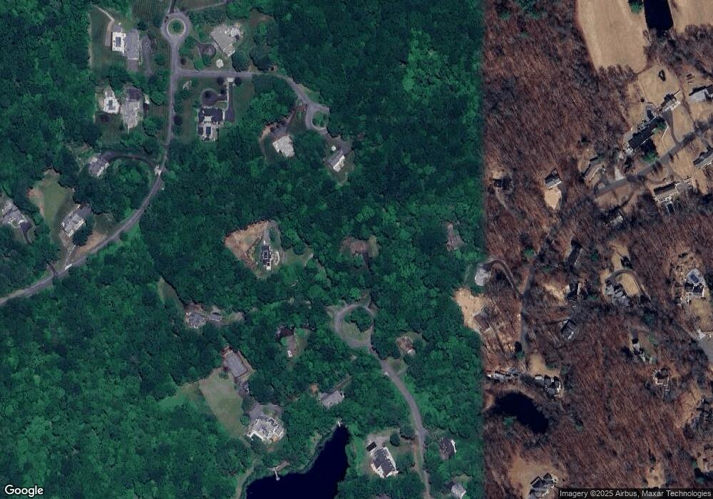
Map
Nearby Homes
- 288 Watertown Rd Unit Lot 5
- 80 Pine Hollow Dr
- 200 N Farm Rd
- 1461 Bunker Hill Rd
- 71 Concord Dr
- 182 Bayberry Terrace
- 72 Carriage Dr
- 126 Colonial Ave
- 105 Jericho Rd
- 66 Artillery Rd
- 432 Quassapaug Rd
- 225 Crest Rd
- 604 Lakeside Blvd W
- 278 Georgetown Dr
- 7 Sandy Beach Rd
- 37 Loop Rd
- 3 Pine Ridge Unit 23
- 10 Lake Rd
- 57 Osage Cir
- 47 Westview Dr
- 132 Ravenwood Dr
- 61 Winthrop Dr
- 193 Falcon Crest Rd
- 166 Falcon Crest Rd
- 142 Ravenwood Dr
- 138 Ravenwood Dr
- 187 Falcon Crest Rd
- 165 Falcon Crest Rd
- 54 Winthrop Dr
- 110 Ravenwood Dr
- 140 Falcon Crest Rd
- 133 Ravenwood Dr
- 191 Falcon Crest Rd
- 100 Ravenwood Dr
- 141 Ravenwood Dr
- 111 Ravenwood Dr
- 177 Falcon Crest Rd
- 151 Ravenwood Dr
- 40 Winthrop Dr
- 53 Winthrop Dr