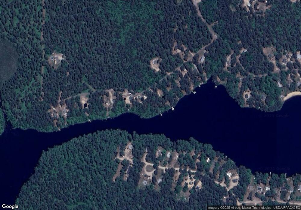
186 Lake Sherburne Rd Waterboro, ME 04087
Waterboro NeighborhoodEstimated Value: $422,000 - $513,000
--
Bed
--
Bath
1,000
Sq Ft
$460/Sq Ft
Est. Value
About This Home
This home is located at 186 Lake Sherburne Rd, Waterboro, ME 04087 and is currently estimated at $459,503, approximately $459 per square foot. 186 Lake Sherburne Rd is a home with nearby schools including Massabesic High School.
Ownership History
Date
Name
Owned For
Owner Type
Purchase Details
Closed on
Dec 16, 2014
Sold by
Stackpole Robert E and Stackpole Ernestine A
Bought by
Burns Patrick S and Burns Bryan
Current Estimated Value
Home Financials for this Owner
Home Financials are based on the most recent Mortgage that was taken out on this home.
Original Mortgage
$10,000
Outstanding Balance
$7,677
Interest Rate
3.98%
Mortgage Type
New Conventional
Estimated Equity
$451,826
Create a Home Valuation Report for This Property
The Home Valuation Report is an in-depth analysis detailing your home's value as well as a comparison with similar homes in the area
Home Values in the Area
Average Home Value in this Area
Purchase History
| Date | Buyer | Sale Price | Title Company |
|---|---|---|---|
| Burns Patrick S | -- | -- | |
| Burns Patrick S | -- | -- |
Source: Public Records
Mortgage History
| Date | Status | Borrower | Loan Amount |
|---|---|---|---|
| Open | Burns Patrick S | $10,000 | |
| Closed | Burns Patrick S | $10,000 |
Source: Public Records
Tax History Compared to Growth
Tax History
| Year | Tax Paid | Tax Assessment Tax Assessment Total Assessment is a certain percentage of the fair market value that is determined by local assessors to be the total taxable value of land and additions on the property. | Land | Improvement |
|---|---|---|---|---|
| 2024 | $6,750 | $427,200 | $244,900 | $182,300 |
| 2023 | $2,991 | $226,600 | $164,200 | $62,400 |
| 2022 | $2,829 | $202,100 | $146,500 | $55,600 |
| 2021 | $2,759 | $183,300 | $133,200 | $50,100 |
| 2020 | $4,668 | $167,600 | $122,100 | $45,500 |
| 2019 | $1,165 | $156,500 | $111,000 | $45,500 |
| 2018 | $513 | $35,000 | $35,000 | $0 |
| 2017 | $5,859 | $35,000 | $35,000 | $0 |
| 2016 | $533 | $35,000 | $35,000 | $0 |
| 2015 | $929 | $66,600 | $66,600 | $0 |
| 2014 | $932 | $66,600 | $66,600 | $0 |
| 2013 | $908 | $66,600 | $66,600 | $0 |
Source: Public Records
Map
Nearby Homes
- 52 Long Causeway
- 32 Northeast Rd
- 69 Bernier Ln
- 1310 West Rd
- 205 Blueberry Rd
- 350 Pine Springs Rd
- 255 Ross Corner Rd
- Lot 14 Milk Rd
- 585 Newfield Rd
- 30 Swan Cir
- 48A Blueberry Rd
- 1304 Middle Rd
- 9 Restful Way
- M13L30 Clarks Bridge Rd
- 471 Owls Nest Rd
- 282 Granny Kent Pond Rd
- Lot 35A Norton Ridge Rd
- 152 Hanson Rd
- 5 Clarks Bridge Rd
- 013-042C Sokokis Trail
- 174 Lake Sherburne Rd
- 166 Lake Sherburne Rd
- TBD Lake Shurburn
- 172 Lake Sherburne Rd
- 170 Lake Sherburne Rd
- 188 Lake Sherburne Rd
- 169 Lake Sherburne Rd
- 164 Lake Sherburne Rd
- 206 Lake Sherburne Rd
- 194 Lake Sherburne Rd
- 160 Lake Sherburne Rd
- 91 Long Cause Way
- 83 Long Causeway
- 82 Long Causeway
- 93 Long Causeway
- 75 Long Causeway
- 65 Long Causeway
- 69 Long Causeway
- 91 Long Causeway
- 59 Long Causeway
