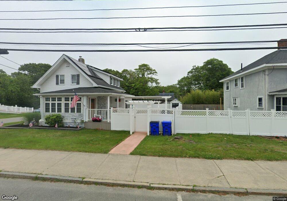
186 Main St Bourne, MA 2532
Buzzards Bay NeighborhoodEstimated Value: $463,000 - $533,000
3
Beds
1
Bath
1,502
Sq Ft
$327/Sq Ft
Est. Value
About This Home
This home is located at 186 Main St, Bourne, MA 2532 and is currently estimated at $490,604, approximately $326 per square foot. 186 Main St is a home located in Barnstable County with nearby schools including Bourne High School and St Margaret Regional School.
Ownership History
Date
Name
Owned For
Owner Type
Purchase Details
Closed on
Mar 24, 2025
Sold by
Mcmahon Gina
Bought by
Gina Marie Bevilacqua Ret and Bevilacqua
Current Estimated Value
Purchase Details
Closed on
Apr 13, 2015
Sold by
Mcmahon Gina and Bevilacqua Josephine
Bought by
Mcmahon Gina
Purchase Details
Closed on
Feb 14, 2014
Sold by
Mcmahon Gina and Bevilacqua Josephine
Bought by
Mcmahon Gina
Create a Home Valuation Report for This Property
The Home Valuation Report is an in-depth analysis detailing your home's value as well as a comparison with similar homes in the area
Home Values in the Area
Average Home Value in this Area
Purchase History
| Date | Buyer | Sale Price | Title Company |
|---|---|---|---|
| Gina Marie Bevilacqua Ret | -- | None Available | |
| Gina Marie Bevilacqua Ret | -- | None Available | |
| Mcmahon Gina | -- | -- | |
| Mcmahon Gina | -- | -- | |
| Mcmahon Gina | -- | -- | |
| Mcmahon Gina | -- | -- | |
| Mcmahon Gina | -- | -- |
Source: Public Records
Mortgage History
| Date | Status | Borrower | Loan Amount |
|---|---|---|---|
| Previous Owner | Mcmahon Gina | $118,000 | |
| Previous Owner | Mcmahon Gina | $157,000 | |
| Previous Owner | Mcmahon Gina | $107,000 |
Source: Public Records
Tax History
| Year | Tax Paid | Tax Assessment Tax Assessment Total Assessment is a certain percentage of the fair market value that is determined by local assessors to be the total taxable value of land and additions on the property. | Land | Improvement |
|---|---|---|---|---|
| 2025 | $3,270 | $418,700 | $171,000 | $247,700 |
| 2024 | $3,198 | $398,800 | $162,900 | $235,900 |
| 2023 | $2,854 | $324,000 | $115,300 | $208,700 |
| 2022 | $2,700 | $267,600 | $102,000 | $165,600 |
| 2021 | $2,625 | $243,700 | $92,900 | $150,800 |
| 2020 | $2,613 | $243,300 | $92,000 | $151,300 |
| 2019 | $2,468 | $234,800 | $92,000 | $142,800 |
| 2018 | $2,331 | $221,200 | $87,600 | $133,600 |
| 2017 | $2,256 | $219,000 | $86,800 | $132,200 |
| 2016 | $1,962 | $193,100 | $86,800 | $106,300 |
Source: Public Records
Map
Nearby Homes
- 46 Holt Rd Unit B
- 46 Holt Rd
- 23 Alderberry Rd
- 40-A Lafayette Ave
- 48 Maple St
- 58 Maple St
- 304 Main St
- 38 Old Bridge Rd
- 4 Van Bummel Rd
- 6 Honora Ct
- 3 Honora Ln Unit 3
- 60 Bourne Neck Dr
- 60 Sandwich Rd
- 44 Cotuit Rd
- 5 Zoli Ln
- 10 Sandy Ln
- 9 Hideaway Rd Unit F
- 13 Hideaway Village Unit G
- 13 Laurel Hill Ct
- 810 Head of The Bay Rd
Your Personal Tour Guide
Ask me questions while you tour the home.