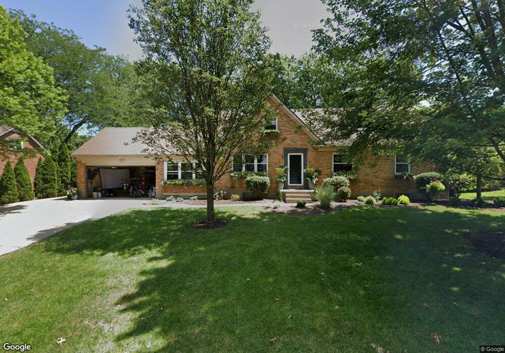
186 Maple Ave Dayton, OH 45459
Estimated Value: $311,000 - $376,000
3
Beds
3
Baths
2,206
Sq Ft
$158/Sq Ft
Est. Value
About This Home
This home is located at 186 Maple Ave, Dayton, OH 45459 and is currently estimated at $349,023, approximately $158 per square foot. 186 Maple Ave is a home located in Montgomery County with nearby schools including Primary Village North, Stingley Elementary School, and Tower Heights Middle School.
Ownership History
Date
Name
Owned For
Owner Type
Purchase Details
Closed on
Apr 28, 2006
Sold by
Malone Kathleen A and Jacobsen Diana E
Bought by
Dobson David and Dobson Amy M
Current Estimated Value
Home Financials for this Owner
Home Financials are based on the most recent Mortgage that was taken out on this home.
Original Mortgage
$150,400
Outstanding Balance
$85,135
Interest Rate
6.39%
Mortgage Type
Fannie Mae Freddie Mac
Estimated Equity
$263,888
Purchase Details
Closed on
Aug 26, 2005
Sold by
Jacobsen Diana E
Bought by
Malone Kathleen A and Jacobsen Diana E
Purchase Details
Closed on
Feb 1, 1994
Sold by
Jacobsen Kurt T
Bought by
Jacobsen Diana E
Create a Home Valuation Report for This Property
The Home Valuation Report is an in-depth analysis detailing your home's value as well as a comparison with similar homes in the area
Purchase History
| Date | Buyer | Sale Price | Title Company |
|---|---|---|---|
| Dobson David | $188,000 | Republic Title Agency Inc | |
| Malone Kathleen A | -- | -- | |
| Jacobsen Diana E | -- | -- |
Source: Public Records
Mortgage History
| Date | Status | Borrower | Loan Amount |
|---|---|---|---|
| Open | Dobson David | $150,400 |
Source: Public Records
Tax History
| Year | Tax Paid | Tax Assessment Tax Assessment Total Assessment is a certain percentage of the fair market value that is determined by local assessors to be the total taxable value of land and additions on the property. | Land | Improvement |
|---|---|---|---|---|
| 2025 | $6,845 | $107,830 | $17,260 | $90,570 |
| 2024 | $6,259 | $107,830 | $17,260 | $90,570 |
| 2023 | $6,259 | $107,830 | $17,260 | $90,570 |
| 2022 | $5,737 | $78,380 | $12,510 | $65,870 |
| 2021 | $5,753 | $78,380 | $12,510 | $65,870 |
| 2020 | $5,745 | $78,380 | $12,510 | $65,870 |
| 2019 | $5,448 | $66,330 | $12,510 | $53,820 |
| 2018 | $4,828 | $66,330 | $12,510 | $53,820 |
| 2017 | $4,772 | $66,330 | $12,510 | $53,820 |
| 2016 | $4,860 | $63,750 | $12,510 | $51,240 |
| 2015 | $4,810 | $63,750 | $12,510 | $51,240 |
| 2014 | $4,810 | $63,750 | $12,510 | $51,240 |
| 2012 | -- | $55,390 | $12,500 | $42,890 |
Source: Public Records
Map
Nearby Homes
- 59 Wythe Parish St Unit 4
- 262 Laurel Oak Dr
- 30 Poinciana Dr
- 121 Woodfield Place
- 100 Weller Ave
- 61 Martha Ave
- 104 Martha Ave
- 205 Sheldon Dr
- 64 Cranston Ct Unit 11
- 36 Blackstone Dr
- 435 Blackstone Dr
- 225 S Main St
- 7637 Essington Cir
- 7627 Essington Cir
- 7767 Brams Hill Dr Unit 7767
- 7215 Whitetail Trail Unit 108108
- 392 Copper Beech Ct
- 7035 Bluffs Dr Unit 27035
- 942 Fawn Lea Trail Unit 2525
- 7810 Port Cir Unit 7810
Your Personal Tour Guide
Ask me questions while you tour the home.