186 N Morrison St Coos Bay, OR 97420
Estimated Value: $809,755
--
Bed
--
Bath
6,080
Sq Ft
$133/Sq Ft
Est. Value
About This Home
This home is located at 186 N Morrison St, Coos Bay, OR 97420 and is currently estimated at $809,755, approximately $133 per square foot. 186 N Morrison St is a home located in Coos County with nearby schools including Sunset School, Madison Elementary School, and Marshfield Senior High School.
Ownership History
Date
Name
Owned For
Owner Type
Purchase Details
Closed on
May 26, 2021
Sold by
Morrison Shop Roperty Llc
Bought by
D & S Bastian Enterprises Llc
Current Estimated Value
Home Financials for this Owner
Home Financials are based on the most recent Mortgage that was taken out on this home.
Original Mortgage
$544,000
Outstanding Balance
$491,166
Interest Rate
3%
Mortgage Type
Commercial
Estimated Equity
$318,589
Create a Home Valuation Report for This Property
The Home Valuation Report is an in-depth analysis detailing your home's value as well as a comparison with similar homes in the area
Home Values in the Area
Average Home Value in this Area
Purchase History
| Date | Buyer | Sale Price | Title Company |
|---|---|---|---|
| D & S Bastian Enterprises Llc | $680,000 | Ticor Title Coos Bay |
Source: Public Records
Mortgage History
| Date | Status | Borrower | Loan Amount |
|---|---|---|---|
| Open | D & S Bastian Enterprises Llc | $544,000 |
Source: Public Records
Tax History Compared to Growth
Tax History
| Year | Tax Paid | Tax Assessment Tax Assessment Total Assessment is a certain percentage of the fair market value that is determined by local assessors to be the total taxable value of land and additions on the property. | Land | Improvement |
|---|---|---|---|---|
| 2025 | $2,202 | $128,500 | -- | -- |
| 2024 | $2,169 | $124,760 | -- | -- |
| 2023 | $2,103 | $121,130 | $0 | $0 |
| 2022 | $2,069 | $117,610 | $0 | $0 |
| 2021 | $2,015 | $114,190 | $0 | $0 |
| 2020 | $1,958 | $114,190 | $0 | $0 |
| 2019 | $1,880 | $107,650 | $0 | $0 |
| 2018 | $1,806 | $104,520 | $0 | $0 |
| 2017 | $1,635 | $103,100 | $0 | $0 |
| 2016 | $1,543 | $99,540 | $0 | $0 |
| 2015 | $1,498 | $100,100 | $0 | $0 |
| 2014 | $1,498 | $97,190 | $0 | $0 |
Source: Public Records
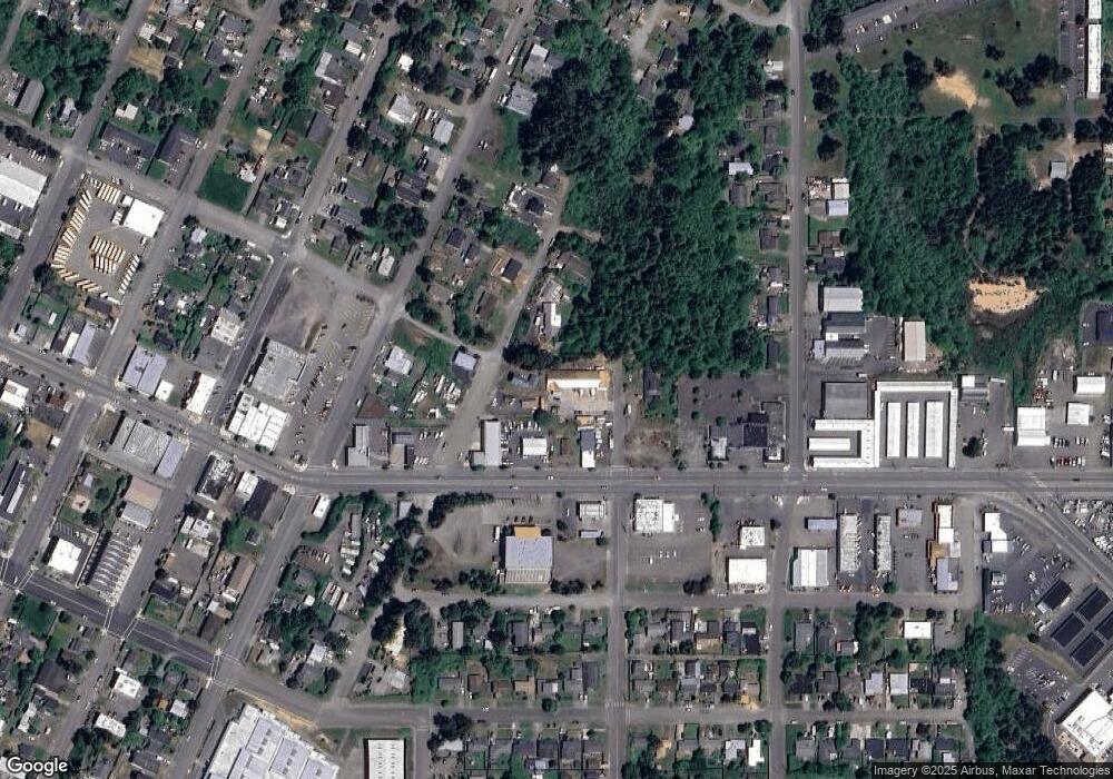
Map
Nearby Homes
- 1022 Newmark Ave
- 1088 Newmark Ave
- 274 N Cammann St
- 715 Jackson Ave
- 283 N Main St
- 242 N Wasson St
- 01500 Cape Arago Hwy
- 0 2185800 Unit 225689067
- 293 N Empire Blvd
- 0 N Morrison St
- 369 S Marple St
- 375 S Marple St
- 118 Marino Dr
- 114 Marino Dr
- 0 S Cammann St Unit 4700
- 363 S Empire Blvd
- 0 Division Ave
- 0 Michigan Ave Unit 24639238
- 0 Newmark Ave Unit 24289444
- 755 Edwards
- 197 N Main St
- 209 N Main St
- 982 Newmark Ave
- 888 Schetter Ave
- 920 Newmark Ave
- 930 Newmark Ave
- 193 N Morrison St
- 985 Newmark St
- 229 N Main St
- 1022 Newmark St
- 0 On File Unit 12301786
- 151 N Cammann St
- 205 N Cammann St
- 169 N Cammann St
- 183 N Cammann St
- 227 N Cammann St
- 270 N Main St
- 1005 Newmark Ave
- 255 N Cammann St