186 Ocean Ave Wakefield, RI 02879
Estimated Value: $2,062,000 - $2,580,000
4
Beds
2
Baths
1,832
Sq Ft
$1,228/Sq Ft
Est. Value
About This Home
This home is located at 186 Ocean Ave, Wakefield, RI 02879 and is currently estimated at $2,250,467, approximately $1,228 per square foot. 186 Ocean Ave is a home located in Washington County with nearby schools including South Kingstown High School.
Ownership History
Date
Name
Owned For
Owner Type
Purchase Details
Closed on
Apr 20, 2012
Sold by
Greer Albert H and Greer Lauren F
Bought by
Greer Lt and Greer Lauren F
Current Estimated Value
Purchase Details
Closed on
Feb 28, 2005
Sold by
Kaminski Richard J and Kaminski Elsie Lois
Bought by
Greer Albert H and Greer Laureen F
Home Financials for this Owner
Home Financials are based on the most recent Mortgage that was taken out on this home.
Original Mortgage
$975,000
Interest Rate
5.73%
Mortgage Type
Purchase Money Mortgage
Create a Home Valuation Report for This Property
The Home Valuation Report is an in-depth analysis detailing your home's value as well as a comparison with similar homes in the area
Home Values in the Area
Average Home Value in this Area
Purchase History
| Date | Buyer | Sale Price | Title Company |
|---|---|---|---|
| Greer Lt | -- | -- | |
| Greer Albert H | $1,500,000 | -- |
Source: Public Records
Mortgage History
| Date | Status | Borrower | Loan Amount |
|---|---|---|---|
| Open | Greer Albert H | $345,000 | |
| Previous Owner | Greer Albert H | $975,000 |
Source: Public Records
Tax History
| Year | Tax Paid | Tax Assessment Tax Assessment Total Assessment is a certain percentage of the fair market value that is determined by local assessors to be the total taxable value of land and additions on the property. | Land | Improvement |
|---|---|---|---|---|
| 2025 | $15,866 | $1,774,700 | $1,266,900 | $507,800 |
| 2024 | $17,069 | $1,544,700 | $1,063,400 | $481,300 |
| 2023 | $17,069 | $1,544,700 | $1,063,400 | $481,300 |
| 2022 | $16,914 | $1,544,700 | $1,063,400 | $481,300 |
| 2021 | $18,736 | $1,296,600 | $866,300 | $430,300 |
| 2020 | $18,736 | $1,296,600 | $866,300 | $430,300 |
| 2019 | $18,736 | $1,296,600 | $866,300 | $430,300 |
| 2018 | $16,431 | $1,047,900 | $693,100 | $354,800 |
| 2017 | $16,043 | $1,047,900 | $693,100 | $354,800 |
| 2016 | $15,813 | $1,047,900 | $693,100 | $354,800 |
| 2015 | $15,751 | $1,014,900 | $665,100 | $349,800 |
| 2014 | $15,711 | $1,014,900 | $665,100 | $349,800 |
Source: Public Records
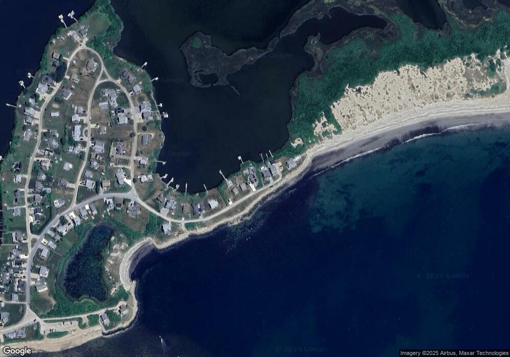
Map
Nearby Homes
- 975 Matunuck Beach Rd
- 210 Washington St
- 14 E Pointe Ct Unit 14
- 691 Succotash Rd
- 27 Holden Rd
- 6 MacAlder St
- 1140 Succotash Rd
- 240 Cards Pond Rd
- 0 Stanton Ave
- 17 Goose Island Rd
- 120 Chestnut Ave
- 0 Hemlock Ave
- 380 Camp Fuller Rd
- 0 Point Judith Rd
- 2321 Post Rd
- 22 Shore Rd
- 1499 Ocean Rd Unit 9
- 47 Saint James Rd
- 11 Wendy Ln
- 64 Burnside Ave
- 192 Ocean Ave
- 180 Ocean Ave
- 200 Ocean Ave
- 172 Ocean Ave
- 214 Ocean Ave
- 160 Ocean Ave
- 149 Ocean Ave
- 140 Ocean Ave
- 130 Ocean Ave
- 120 Ocean Ave
- 135 Ocean Ave
- 202 Peninsula Rd
- 218 Peninsula Rd
- 194 Peninsula Rd
- 180 Peninsula Rd
- 117 Ocean Ave
- 174 Peninsula Rd
- 199 Peninsula Rd
- 102 Ocean Ave
- 181 Peninsula Rd
Your Personal Tour Guide
Ask me questions while you tour the home.