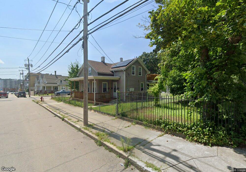
186 Rathbun St Woonsocket, RI 02895
Social District NeighborhoodEstimated Value: $404,273 - $554,000
6
Beds
3
Baths
2,277
Sq Ft
$212/Sq Ft
Est. Value
About This Home
This home is located at 186 Rathbun St, Woonsocket, RI 02895 and is currently estimated at $483,318, approximately $212 per square foot. 186 Rathbun St is a home located in Providence County with nearby schools including Woonsocket High School, Rise Prep Mayoral Academy Middle School, and Rise Prep Mayoral Academy.
Ownership History
Date
Name
Owned For
Owner Type
Purchase Details
Closed on
May 30, 2001
Sold by
Lemay Paul V and Lemay Christine A
Bought by
Dugas Albert J and Dugas Charlene M
Current Estimated Value
Home Financials for this Owner
Home Financials are based on the most recent Mortgage that was taken out on this home.
Original Mortgage
$117,300
Interest Rate
7.09%
Mortgage Type
Purchase Money Mortgage
Create a Home Valuation Report for This Property
The Home Valuation Report is an in-depth analysis detailing your home's value as well as a comparison with similar homes in the area
Home Values in the Area
Average Home Value in this Area
Purchase History
| Date | Buyer | Sale Price | Title Company |
|---|---|---|---|
| Dugas Albert J | $123,500 | -- | |
| Dugas Albert J | $123,500 | -- |
Source: Public Records
Mortgage History
| Date | Status | Borrower | Loan Amount |
|---|---|---|---|
| Open | Dugas Albert J | $154,900 | |
| Closed | Dugas Albert J | $164,921 | |
| Closed | Dugas Albert J | $112,145 | |
| Closed | Dugas Albert J | $117,300 |
Source: Public Records
Tax History
| Year | Tax Paid | Tax Assessment Tax Assessment Total Assessment is a certain percentage of the fair market value that is determined by local assessors to be the total taxable value of land and additions on the property. | Land | Improvement |
|---|---|---|---|---|
| 2025 | $5,468 | $486,900 | $89,800 | $397,100 |
| 2024 | $4,949 | $340,400 | $91,400 | $249,000 |
| 2023 | $4,759 | $340,400 | $91,400 | $249,000 |
| 2022 | $4,759 | $340,400 | $91,400 | $249,000 |
| 2021 | $3,981 | $167,600 | $37,300 | $130,300 |
| 2020 | $4,022 | $167,600 | $37,300 | $130,300 |
| 2018 | $4,036 | $167,600 | $37,300 | $130,300 |
| 2017 | $4,681 | $155,500 | $40,800 | $114,700 |
| 2016 | $4,951 | $155,500 | $40,800 | $114,700 |
| 2015 | $5,688 | $155,500 | $40,800 | $114,700 |
| 2014 | $5,275 | $151,300 | $44,900 | $106,400 |
Source: Public Records
Map
Nearby Homes
- 60 Rathbun St
- 685 Social St Unit 308
- 685 Social St Unit 313
- 90 Mill St Unit 202
- 40 Burnside Ave
- 92 Mill St Unit 303
- 538 Wood Ave
- 108 Mill St Unit 104
- 256 Privilege St
- 263 Elm St
- 551 Wood Ave
- 311 Elm St
- 18 Villa Nova St
- 0 Diamond Hill Rd Unit 1406968
- 51 Wood Ave
- 56 Mailloux St
- 13 Ethel St
- 481 N Main St
- 568 Elm St
- 40 Valley St
- 184 Rathbun St
- 18 Oak Hill Ave
- 220 Rathbun St
- 220 Rathbun St Unit 1R
- 218 Rathbun St Unit 1-R
- 218 Rathbun St Unit 3R
- 218 Rathbun St
- 199 Rathbun St Unit 1F
- 199 Rathbun St Unit Rear
- 199 Rathbun St Unit 1
- 199 Rathbun St
- 158 Rathbun St
- 201 Rathbun St Unit 201
- 191 Rathbun St
- 203 Rathbun St
- 205 Rathbun St
- 155 Rathbun St
- 154 Rathbun St
- 37 Chester St
- 211 Rathbun St Unit 1
Your Personal Tour Guide
Ask me questions while you tour the home.