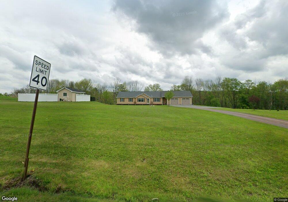
186 Sherwood Dr Waymart, PA 18472
Estimated Value: $295,000 - $413,000
3
Beds
2
Baths
1,700
Sq Ft
$202/Sq Ft
Est. Value
About This Home
This home is located at 186 Sherwood Dr, Waymart, PA 18472 and is currently estimated at $343,662, approximately $202 per square foot. 186 Sherwood Dr is a home with nearby schools including Forest City Regional Elementary School and Forest City Regional High School.
Ownership History
Date
Name
Owned For
Owner Type
Purchase Details
Closed on
Mar 22, 2021
Sold by
Peterka Anne and Weaver Anne
Bought by
Weaver John and Weaver Anne
Current Estimated Value
Home Financials for this Owner
Home Financials are based on the most recent Mortgage that was taken out on this home.
Original Mortgage
$208,000
Outstanding Balance
$154,479
Interest Rate
2.8%
Mortgage Type
New Conventional
Estimated Equity
$189,183
Purchase Details
Closed on
Dec 2, 2014
Sold by
Gorel John M
Bought by
Peterka Anne
Create a Home Valuation Report for This Property
The Home Valuation Report is an in-depth analysis detailing your home's value as well as a comparison with similar homes in the area
Home Values in the Area
Average Home Value in this Area
Purchase History
| Date | Buyer | Sale Price | Title Company |
|---|---|---|---|
| Weaver John | -- | Northeast Settlement Company | |
| Peterka Anne | $18,500 | None Available |
Source: Public Records
Mortgage History
| Date | Status | Borrower | Loan Amount |
|---|---|---|---|
| Open | Weaver John | $208,000 |
Source: Public Records
Tax History Compared to Growth
Tax History
| Year | Tax Paid | Tax Assessment Tax Assessment Total Assessment is a certain percentage of the fair market value that is determined by local assessors to be the total taxable value of land and additions on the property. | Land | Improvement |
|---|---|---|---|---|
| 2025 | $3,861 | $238,300 | $58,000 | $180,300 |
| 2024 | $3,756 | $238,300 | $58,000 | $180,300 |
| 2023 | $5,173 | $238,300 | $58,000 | $180,300 |
| 2022 | $3,883 | $166,600 | $31,400 | $135,200 |
| 2021 | $3,843 | $166,600 | $31,400 | $135,200 |
| 2020 | $3,391 | $150,000 | $31,400 | $118,600 |
| 2019 | $3,225 | $150,000 | $31,400 | $118,600 |
| 2018 | $3,216 | $150,000 | $31,400 | $118,600 |
| 2017 | $404 | $19,100 | $19,100 | $0 |
| 2016 | $386 | $19,100 | $19,100 | $0 |
| 2014 | $301 | $19,100 | $19,100 | $0 |
Source: Public Records
Map
Nearby Homes
- 1995 Creek Dr
- 48 T-539
- 48 Yarnes Rd
- 2051 Belmont Turnpike
- 145 Pleasant View Dr
- 259 Ayoub Rd
- 409 Great Bend Turnpike
- Lot 4 Skinny Dip Ln
- 0 E Mountain Rd
- 0 E Mountain Rd
- 11 Mizianty Ln
- 1 West St
- 417 Martin St
- 413 Martin St
- 419 Martin St
- 403 Martin St
- 1177 N Main St
- 520 State Route 2010
- 76 S Shore Rd
- 905 Belmont Turnpike
- 204 Sherwood Dr
- 204 Sherwood Dr
- 220 Sherwood Dr
- 149 Sherwood Dr
- 226 Sherwood Dr
- 137 Sherwood Dr
- 144 Sherwood Dr
- 248 Sherwood Dr
- 114 Sherwood Dr
- 81 Maple Grove Rd
- 103 Sherwood Dr
- 81 Sherwood Dr
- 1979 Creek Dr
- 56 Maple Grove Rd
- 1969 Creek Dr
- 1988 Creek Dr
- 32 Maple Grove Rd
- 2097 Creek Dr
- 1895 Creek Dr
- 1937 Creek Dr