Estimated Value: $270,000 - $321,000
4
Beds
2
Baths
2,072
Sq Ft
$141/Sq Ft
Est. Value
About This Home
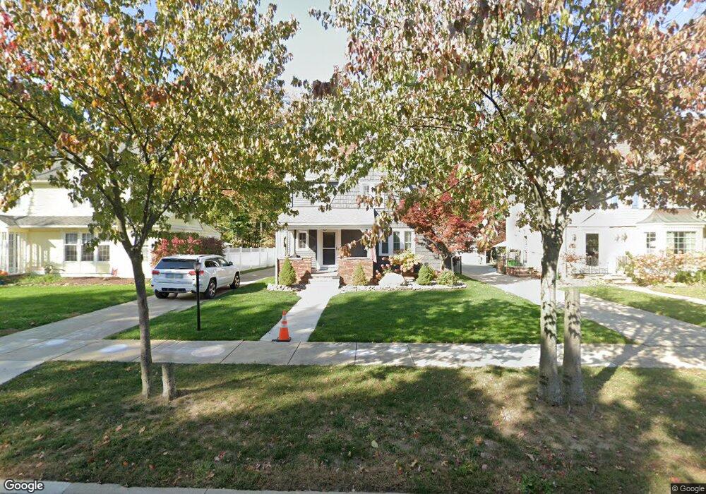
This home is located at 186 Stanford Dr, Berea, OH 44017 and is currently estimated at $292,866, approximately $141 per square foot. 186 Stanford Dr is a home located in Cuyahoga County with nearby schools including Grindstone Elementary School, Berea-Midpark Middle School, and Berea-Midpark High School.
Ownership History
Date
Name
Owned For
Owner Type
Purchase Details
Closed on
Oct 23, 2019
Sold by
Kleem Cyril M
Bought by
Sterling David A and Sterling Sarah
Current Estimated Value
Home Financials for this Owner
Home Financials are based on the most recent Mortgage that was taken out on this home.
Original Mortgage
$184,300
Outstanding Balance
$161,456
Interest Rate
3.5%
Mortgage Type
New Conventional
Estimated Equity
$131,410
Purchase Details
Closed on
Apr 15, 2005
Sold by
Fort Neil R and Fort Katherine A
Bought by
Kleem Cyril M
Home Financials for this Owner
Home Financials are based on the most recent Mortgage that was taken out on this home.
Original Mortgage
$155,550
Interest Rate
5.62%
Mortgage Type
Purchase Money Mortgage
Purchase Details
Closed on
Jan 1, 1975
Bought by
Fort Neil R & K A
Create a Home Valuation Report for This Property
The Home Valuation Report is an in-depth analysis detailing your home's value as well as a comparison with similar homes in the area
Home Values in the Area
Average Home Value in this Area
Purchase History
| Date | Buyer | Sale Price | Title Company |
|---|---|---|---|
| Sterling David A | $190,000 | Ohio First Land Title Agen | |
| Kleem Cyril M | $183,000 | Real Living Title Agency L | |
| Fort Neil R & K A | -- | -- |
Source: Public Records
Mortgage History
| Date | Status | Borrower | Loan Amount |
|---|---|---|---|
| Open | Sterling David A | $184,300 | |
| Previous Owner | Kleem Cyril M | $155,550 |
Source: Public Records
Tax History Compared to Growth
Tax History
| Year | Tax Paid | Tax Assessment Tax Assessment Total Assessment is a certain percentage of the fair market value that is determined by local assessors to be the total taxable value of land and additions on the property. | Land | Improvement |
|---|---|---|---|---|
| 2024 | $5,034 | $86,975 | $11,410 | $75,565 |
| 2023 | $4,639 | $67,170 | $9,140 | $58,030 |
| 2022 | $4,610 | $67,170 | $9,140 | $58,030 |
| 2021 | $4,571 | $67,170 | $9,140 | $58,030 |
| 2020 | $4,366 | $56,910 | $7,740 | $49,180 |
| 2019 | $4,250 | $162,600 | $22,100 | $140,500 |
| 2018 | $2,122 | $56,910 | $7,740 | $49,180 |
| 2017 | $5,131 | $64,130 | $8,860 | $55,270 |
| 2016 | $5,093 | $64,130 | $8,860 | $55,270 |
| 2015 | $4,813 | $64,130 | $8,860 | $55,270 |
| 2014 | $4,813 | $64,130 | $8,860 | $55,270 |
Source: Public Records
Map
Nearby Homes
- 180 Stanford Dr
- 190 Stanford Dr
- 176 Stanford Dr
- 196 Stanford Dr
- 174 Stanford Dr
- 202 Stanford Dr
- 185 Stanford Dr
- 189 Stanford Dr
- 179 Stanford Dr
- 168 Stanford Dr
- 206 Stanford Dr
- 252 Westbridge Dr
- 175 Stanford Dr
- 222 Westbridge Dr
- 171 Stanford Dr
- 165 Stanford Dr
- 210 Westbridge Dr
- 204 Westbridge Dr
- 188 Westbridge Dr
- 191 Lee Rd