186 Tomahawk Trail Martin, GA 30557
Estimated Value: $186,355 - $346,000
3
Beds
2
Baths
896
Sq Ft
$286/Sq Ft
Est. Value
About This Home
This home is located at 186 Tomahawk Trail, Martin, GA 30557 and is currently estimated at $256,589, approximately $286 per square foot. 186 Tomahawk Trail is a home located in Stephens County with nearby schools including Stephens County High School.
Ownership History
Date
Name
Owned For
Owner Type
Purchase Details
Closed on
May 11, 2012
Sold by
Scbt
Bought by
Foster Carol J
Current Estimated Value
Purchase Details
Closed on
Feb 6, 2012
Purchase Details
Closed on
Mar 25, 2008
Sold by
Rades David J
Bought by
Davis Dennis A
Purchase Details
Closed on
Mar 6, 2007
Sold by
Colburn William
Bought by
Rades David J
Purchase Details
Closed on
Jul 5, 2002
Bought by
<Buyer Info Not Present>
Purchase Details
Closed on
Nov 1, 1996
Bought by
<Buyer Info Not Present>
Purchase Details
Closed on
May 1, 1988
Bought by
<Buyer Info Not Present>
Create a Home Valuation Report for This Property
The Home Valuation Report is an in-depth analysis detailing your home's value as well as a comparison with similar homes in the area
Home Values in the Area
Average Home Value in this Area
Purchase History
| Date | Buyer | Sale Price | Title Company |
|---|---|---|---|
| Foster Carol J | $18,800 | -- | |
| -- | -- | -- | |
| Davis Dennis A | $8,500 | -- | |
| Rades David J | $13,000 | -- | |
| <Buyer Info Not Present> | -- | -- | |
| <Buyer Info Not Present> | $18,000 | -- | |
| <Buyer Info Not Present> | $8,500 | -- |
Source: Public Records
Tax History Compared to Growth
Tax History
| Year | Tax Paid | Tax Assessment Tax Assessment Total Assessment is a certain percentage of the fair market value that is determined by local assessors to be the total taxable value of land and additions on the property. | Land | Improvement |
|---|---|---|---|---|
| 2024 | -- | $29,139 | $727 | $28,412 |
| 2023 | $0 | $26,997 | $727 | $26,270 |
| 2022 | $754 | $25,327 | $727 | $24,600 |
| 2021 | $730 | $23,333 | $727 | $22,606 |
| 2020 | $726 | $22,977 | $727 | $22,250 |
| 2019 | $700 | $22,072 | $727 | $21,345 |
| 2018 | $0 | $22,072 | $727 | $21,345 |
| 2017 | $0 | $22,072 | $727 | $21,345 |
| 2016 | $481 | $15,166 | $726 | $14,440 |
| 2015 | $504 | $15,166 | $726 | $14,440 |
| 2014 | $512 | $15,167 | $727 | $14,440 |
| 2013 | -- | $15,166 | $726 | $14,440 |
Source: Public Records
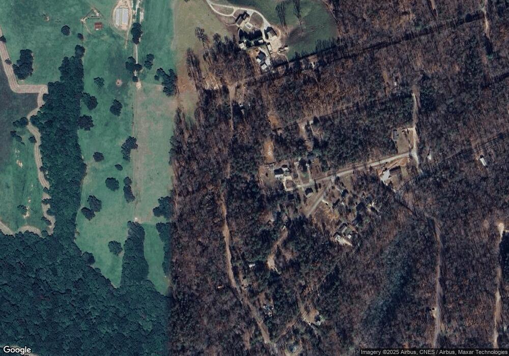
Map
Nearby Homes
- 40 Tomahawk Trail
- 17 Lakeside Trail
- 647 Lake Harbor Trail
- 156 Navajo Trail
- 335 Lake Harbor Trail
- 243 Lakeside Trail
- 130 Lakeview Trail
- 69 Cheyenne Trail
- 137 Cheyenne Trail
- 0 Lakeway Dr Unit 7361717
- 0 Lakeway Dr Unit 10276351
- 114 Lakeview Trail
- 120 Bruce Rd
- 45 Sequoia Trail
- 0 N Holcomb Dr Unit 25286978
- 1041 N Holcomb Dr
- 664 N Holcomb Dr
- 0 N Holcomb Dr Unit 10559631
- 0 N Holcomb Dr Unit 10629494
- 298 Caprice Dr
- 186 Tomahawk Trail
- 170 Tomahawk Trail
- 160 Tomahawk Trail
- 0 Cherokee Trail Unit 3168423
- 0 Cherokee Trail
- 133 Cherokee Trail
- 161 Tomahawk Trail
- 0 Tomahawk Trail
- 130 Tomahawk Trail
- 112 Cherokee Trail
- 292 Navajo Trail
- 227 Apache Trail
- 325 Navajo Trail
- 312 Navajo Trail
- 128 Apache Trail
- 25 Cherokee Trail
- 102 Navajo Trail
- 92 Navajo Trail
- 532 Lake Harbor Trail
- 532 Lake Harbor Trail