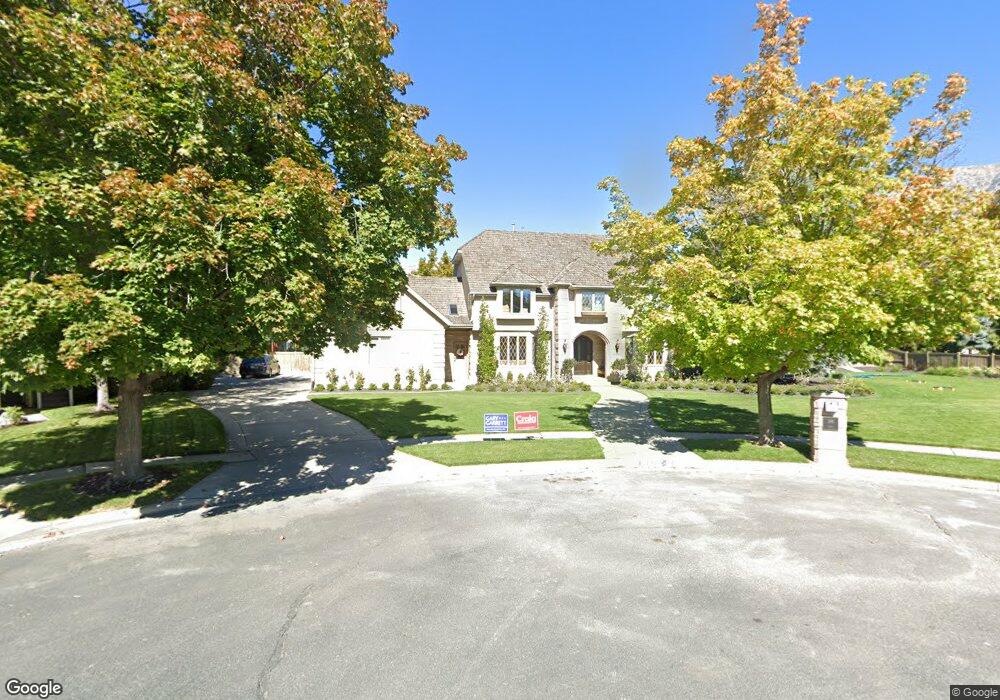
186 W 3250 N Provo, UT 84604
Riverside NeighborhoodEstimated Value: $1,224,000 - $1,929,000
5
Beds
4
Baths
4,661
Sq Ft
$332/Sq Ft
Est. Value
About This Home
This home is located at 186 W 3250 N, Provo, UT 84604 and is currently estimated at $1,549,126, approximately $332 per square foot. 186 W 3250 N is a home located in Utah County with nearby schools including Canyon Crest Elementary School, Centennial Middle School, and Timpview High School.
Ownership History
Date
Name
Owned For
Owner Type
Purchase Details
Closed on
Oct 19, 2016
Sold by
Slomo Llc
Bought by
Rust Jeffrey
Current Estimated Value
Home Financials for this Owner
Home Financials are based on the most recent Mortgage that was taken out on this home.
Original Mortgage
$581,875
Outstanding Balance
$466,186
Interest Rate
3.44%
Mortgage Type
New Conventional
Estimated Equity
$1,082,940
Purchase Details
Closed on
Nov 17, 2011
Sold by
Slomo Llc
Bought by
Openshaw C Mark
Home Financials for this Owner
Home Financials are based on the most recent Mortgage that was taken out on this home.
Original Mortgage
$395,000
Interest Rate
3.87%
Mortgage Type
New Conventional
Create a Home Valuation Report for This Property
The Home Valuation Report is an in-depth analysis detailing your home's value as well as a comparison with similar homes in the area
Home Values in the Area
Average Home Value in this Area
Purchase History
| Date | Buyer | Sale Price | Title Company |
|---|---|---|---|
| Rust Jeffrey | -- | United West Title | |
| Openshaw C Mark | -- | Provo Land Title Company |
Source: Public Records
Mortgage History
| Date | Status | Borrower | Loan Amount |
|---|---|---|---|
| Open | Rust Jeffrey | $581,875 | |
| Previous Owner | Openshaw C Mark | $395,000 |
Source: Public Records
Tax History Compared to Growth
Tax History
| Year | Tax Paid | Tax Assessment Tax Assessment Total Assessment is a certain percentage of the fair market value that is determined by local assessors to be the total taxable value of land and additions on the property. | Land | Improvement |
|---|---|---|---|---|
| 2025 | $1,276 | $682,990 | $605,800 | $636,000 |
| 2024 | $1,276 | $611,050 | $0 | $0 |
| 2023 | $6,125 | $594,330 | $0 | $0 |
| 2022 | $6,140 | $600,765 | $0 | $0 |
| 2021 | $4,957 | $845,900 | $473,200 | $372,700 |
| 2020 | $4,771 | $763,300 | $394,300 | $369,000 |
| 2019 | $4,588 | $763,300 | $394,300 | $369,000 |
| 2018 | $4,290 | $723,900 | $354,900 | $369,000 |
| 2017 | $4,294 | $398,145 | $0 | $0 |
Source: Public Records
Map
Nearby Homes
- 3430 Brookside Dr
- 3240 Shadowbrook Dr
- 3477 Brookside Dr
- 3057 N 100 W
- 3535 N 160 St W
- 3013 N 100 W
- 2939 N Marrcrest Dr W
- 2888 Marrcrest W
- 2823 N Marrcrest E
- 404 W 3700 N
- 96 Marrcrest S
- 1237 S 1000 E
- 1636 N 320 E Unit 5
- 1660 N 320 E Unit 3
- 1648 N 320 E Unit 4
- 1625 N 320 E Unit 1
- 1624 N 320 E Unit 6
- 1615 N 320 E Unit 1
- 1612 N 320 E Unit RES
- 1360 S Carterville Rd
- 3243 N 140 W
- 3236 Brookside Dr
- 3275 N 140 W
- 3258 Brookside Dr
- 3292 N 140 W
- 3288 Brookside Dr
- 3214 Brookside Dr
- 3221 N 140 W
- 3221 N 140 W Unit 1
- 168 W 3300 N
- 3263 Brookside Dr
- 188 W 3300 N
- 3266 N 140 W
- 3266 N 140 W Unit 19
- 3238 N 140 W
- 3285 Brookside Dr
- 148 W 3300 N
- 148 W 3300 N Unit 1
- 159 Woodside Dr
- 3302 N 140 W