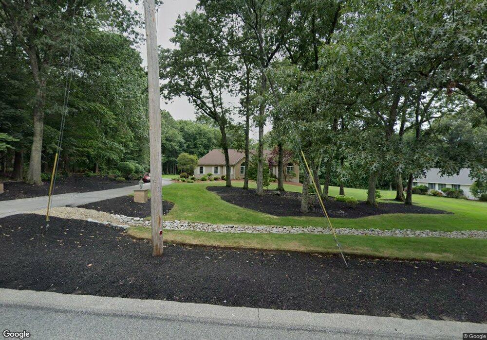
186 W Wrentham Rd Cumberland, RI 02864
North Cumberland NeighborhoodEstimated Value: $705,331 - $1,219,000
3
Beds
2
Baths
2,263
Sq Ft
$391/Sq Ft
Est. Value
About This Home
This home is located at 186 W Wrentham Rd, Cumberland, RI 02864 and is currently estimated at $884,833, approximately $391 per square foot. 186 W Wrentham Rd is a home located in Providence County with nearby schools including Community School, North Cumberland Middle School, and Cumberland High School.
Ownership History
Date
Name
Owned For
Owner Type
Purchase Details
Closed on
Jul 16, 2001
Sold by
Anderson Kirk A and Anderson Janice M
Bought by
Risica Family Llc
Current Estimated Value
Purchase Details
Closed on
Jan 29, 1999
Sold by
Repm Inc
Bought by
Anderson Kirk A and Anderson Janice
Home Financials for this Owner
Home Financials are based on the most recent Mortgage that was taken out on this home.
Original Mortgage
$60,000
Interest Rate
6.78%
Create a Home Valuation Report for This Property
The Home Valuation Report is an in-depth analysis detailing your home's value as well as a comparison with similar homes in the area
Home Values in the Area
Average Home Value in this Area
Purchase History
| Date | Buyer | Sale Price | Title Company |
|---|---|---|---|
| Risica Family Llc | $404,000 | -- | |
| Anderson Kirk A | $276,000 | -- |
Source: Public Records
Mortgage History
| Date | Status | Borrower | Loan Amount |
|---|---|---|---|
| Previous Owner | Anderson Kirk A | $82,000 | |
| Previous Owner | Anderson Kirk A | $60,000 | |
| Previous Owner | Anderson Kirk A | $130,000 |
Source: Public Records
Tax History Compared to Growth
Tax History
| Year | Tax Paid | Tax Assessment Tax Assessment Total Assessment is a certain percentage of the fair market value that is determined by local assessors to be the total taxable value of land and additions on the property. | Land | Improvement |
|---|---|---|---|---|
| 2025 | $7,433 | $605,800 | $187,000 | $418,800 |
| 2024 | $7,239 | $605,800 | $187,000 | $418,800 |
| 2023 | $7,039 | $605,800 | $187,000 | $418,800 |
| 2022 | $7,005 | $467,300 | $144,800 | $322,500 |
| 2021 | $6,888 | $467,300 | $144,800 | $322,500 |
| 2020 | $6,692 | $467,300 | $144,800 | $322,500 |
| 2019 | $6,620 | $416,900 | $132,200 | $284,700 |
| 2018 | $6,429 | $416,900 | $132,200 | $284,700 |
| 2017 | $6,341 | $416,900 | $132,200 | $284,700 |
| 2016 | $6,378 | $373,400 | $134,900 | $238,500 |
| 2015 | $6,378 | $373,400 | $134,900 | $238,500 |
| 2014 | $6,378 | $373,400 | $134,900 | $238,500 |
| 2013 | $6,492 | $411,400 | $137,800 | $273,600 |
Source: Public Records
Map
Nearby Homes
- 4 Carnation St
- 245 W Wrentham Rd
- 56 Arland Ct
- 10 Stoneham Dr
- 59 Pichette Blvd
- 444 Knollwood Dr
- 26 Conrad St
- 219 Dawn Blvd
- 180 Pine Swamp Rd
- 56 Pine Swamp Rd
- 28 Alton Ave
- 20 Nature View Dr
- 26 Kenwood St
- 64 Aborn Ave
- 108 Rodman St
- 250 Ray Ave
- 25 Nature View Dr
- 95 Mitris Blvd
- 3889 Mendon Rd
- 375 Congress St
- 192 W Wrentham Rd
- 184 W Wrentham Rd
- 215 W Wrentham Rd
- 180 W Wrentham Rd
- 211 W Wrentham Rd
- 209 W Wrentham Rd
- 1 Carnation St
- 164 W Wrentham Rd
- 207 W Wrentham Rd
- 3 Carnation St
- 160 W Wrentham Rd
- 205 W Wrentham Rd
- 2 Carnation St
- 85 W Wrentham Rd
- 102 W Wrentham Rd
- 119 W Wrentham Rd
- 203 W Wrentham Rd
- 158 W Wrentham Rd
- 156 W Wrentham Rd
- 188 W Wrentham Rd