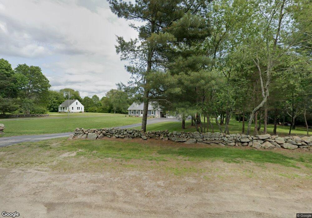
186 Westerly Bradford Rd Westerly, RI 02891
Estimated Value: $536,000 - $759,000
4
Beds
2
Baths
2,347
Sq Ft
$266/Sq Ft
Est. Value
About This Home
This home is located at 186 Westerly Bradford Rd, Westerly, RI 02891 and is currently estimated at $624,542, approximately $266 per square foot. 186 Westerly Bradford Rd is a home located in Washington County with nearby schools including Westerly High School and St. Michael School.
Ownership History
Date
Name
Owned For
Owner Type
Purchase Details
Closed on
Aug 27, 2019
Sold by
Algiere James H
Bought by
James H Algiere Lt
Current Estimated Value
Purchase Details
Closed on
Oct 16, 1987
Bought by
Algiere James H
Create a Home Valuation Report for This Property
The Home Valuation Report is an in-depth analysis detailing your home's value as well as a comparison with similar homes in the area
Home Values in the Area
Average Home Value in this Area
Purchase History
| Date | Buyer | Sale Price | Title Company |
|---|---|---|---|
| James H Algiere Lt | -- | -- | |
| Algiere James H | -- | -- |
Source: Public Records
Mortgage History
| Date | Status | Borrower | Loan Amount |
|---|---|---|---|
| Previous Owner | Algiere James H | $285,867 | |
| Previous Owner | Algiere James H | $15,000 |
Source: Public Records
Tax History Compared to Growth
Tax History
| Year | Tax Paid | Tax Assessment Tax Assessment Total Assessment is a certain percentage of the fair market value that is determined by local assessors to be the total taxable value of land and additions on the property. | Land | Improvement |
|---|---|---|---|---|
| 2025 | $4,157 | $584,600 | $189,700 | $394,900 |
| 2024 | $4,708 | $479,900 | $136,600 | $343,300 |
| 2023 | $4,617 | $479,900 | $136,600 | $343,300 |
| 2022 | $4,588 | $479,900 | $136,600 | $343,300 |
| 2021 | $4,401 | $382,000 | $119,200 | $262,800 |
| 2020 | $4,320 | $382,000 | $119,200 | $262,800 |
| 2019 | $4,278 | $382,000 | $119,200 | $262,800 |
| 2018 | $3,741 | $314,900 | $119,200 | $195,700 |
| 2017 | $3,650 | $314,900 | $119,200 | $195,700 |
| 2016 | $3,678 | $314,900 | $119,200 | $195,700 |
| 2015 | $3,409 | $315,100 | $115,100 | $200,000 |
| 2014 | $3,353 | $315,100 | $115,100 | $200,000 |
Source: Public Records
Map
Nearby Homes
- 23 Pond St
- 37 Pound Rd
- 35 Pound Rd
- 5 Boy Scout Dr
- 0 Iroquois Ave
- 101 Ashaway Rd
- 103 Ashaway Rd
- 17 Apache Dr Unit G
- 11 Apache Dr Unit D
- 9 Apache Dr Unit C
- 53 Bradford Rd
- 94 Ashaway Rd
- 118 Dunns Corner Rd
- 6 Tidewinds Ln
- 82 Potter Hill Rd
- 16 Boiling Spring Ave
- 23 Hillview Dr
- 145 High St Unit D
- 52 Spruce St
- 0 Woody Hill Rd Unit 1334811
- 182 Westerly Bradford Rd
- 196 Westerly Bradford Rd
- 196 Westerly Bradford Rd
- 176 Westerly Bradford Rd
- 184 Westerly Bradford Rd
- 200 Westerly Bradford Rd
- 179 Westerly Bradford Rd
- 194 Westerly Bradford Rd
- 172 Westerly Bradford Rd
- 204 Westerly Bradford Rd
- 220 Westerly Bradford Rd
- 166 Westerly Bradford Rd Unit A
- 10 Fieldstone Way
- 230 Westerly Bradford Rd
- 12 Fieldstone Way
- 205 Westerly Bradford Rd
- 8 Fieldstone Way
- 6 Fieldstone Way
- 16 Fieldstone Way Unit 8
- 16 Fieldstone Way