1860 58th St Somerset, WI 54025
Estimated Value: $431,000 - $545,000
--
Bed
--
Bath
--
Sq Ft
5.19
Acres
About This Home
This home is located at 1860 58th St, Somerset, WI 54025 and is currently estimated at $487,450. 1860 58th St is a home with nearby schools including Somerset Elementary School, Somerset Middle School, and Somerset High School.
Ownership History
Date
Name
Owned For
Owner Type
Purchase Details
Closed on
Apr 8, 2022
Sold by
Mcintyre Jeffrey L and Mcintyre Brenda K
Bought by
Mcintyre Jeffrey L and Mcintyre Brenda K
Current Estimated Value
Purchase Details
Closed on
Jul 14, 2006
Sold by
W L Peterson & Associates Inc
Bought by
Mcintyre Jeffrey L and Mcintyre Brenda K
Home Financials for this Owner
Home Financials are based on the most recent Mortgage that was taken out on this home.
Original Mortgage
$74,500
Interest Rate
6.73%
Mortgage Type
Purchase Money Mortgage
Create a Home Valuation Report for This Property
The Home Valuation Report is an in-depth analysis detailing your home's value as well as a comparison with similar homes in the area
Home Values in the Area
Average Home Value in this Area
Purchase History
| Date | Buyer | Sale Price | Title Company |
|---|---|---|---|
| Mcintyre Jeffrey L | -- | None Listed On Document | |
| Mcintyre Jeffrey L | $84,500 | None Available |
Source: Public Records
Mortgage History
| Date | Status | Borrower | Loan Amount |
|---|---|---|---|
| Previous Owner | Mcintyre Jeffrey L | $74,500 |
Source: Public Records
Tax History Compared to Growth
Tax History
| Year | Tax Paid | Tax Assessment Tax Assessment Total Assessment is a certain percentage of the fair market value that is determined by local assessors to be the total taxable value of land and additions on the property. | Land | Improvement |
|---|---|---|---|---|
| 2024 | $43 | $413,500 | $103,100 | $310,400 |
| 2023 | $4,369 | $413,500 | $103,100 | $310,400 |
| 2022 | $4,380 | $413,500 | $103,100 | $310,400 |
| 2021 | $4,304 | $279,800 | $66,000 | $213,800 |
| 2020 | $4,363 | $279,800 | $66,000 | $213,800 |
| 2019 | $4,000 | $279,800 | $66,000 | $213,800 |
| 2018 | $3,880 | $279,800 | $66,000 | $213,800 |
| 2017 | $3,998 | $279,800 | $66,000 | $213,800 |
| 2016 | $3,998 | $229,600 | $33,800 | $195,800 |
| 2015 | $3,819 | $229,600 | $33,800 | $195,800 |
| 2014 | $3,646 | $229,600 | $33,800 | $195,800 |
| 2013 | $3,663 | $229,600 | $33,800 | $195,800 |
Source: Public Records
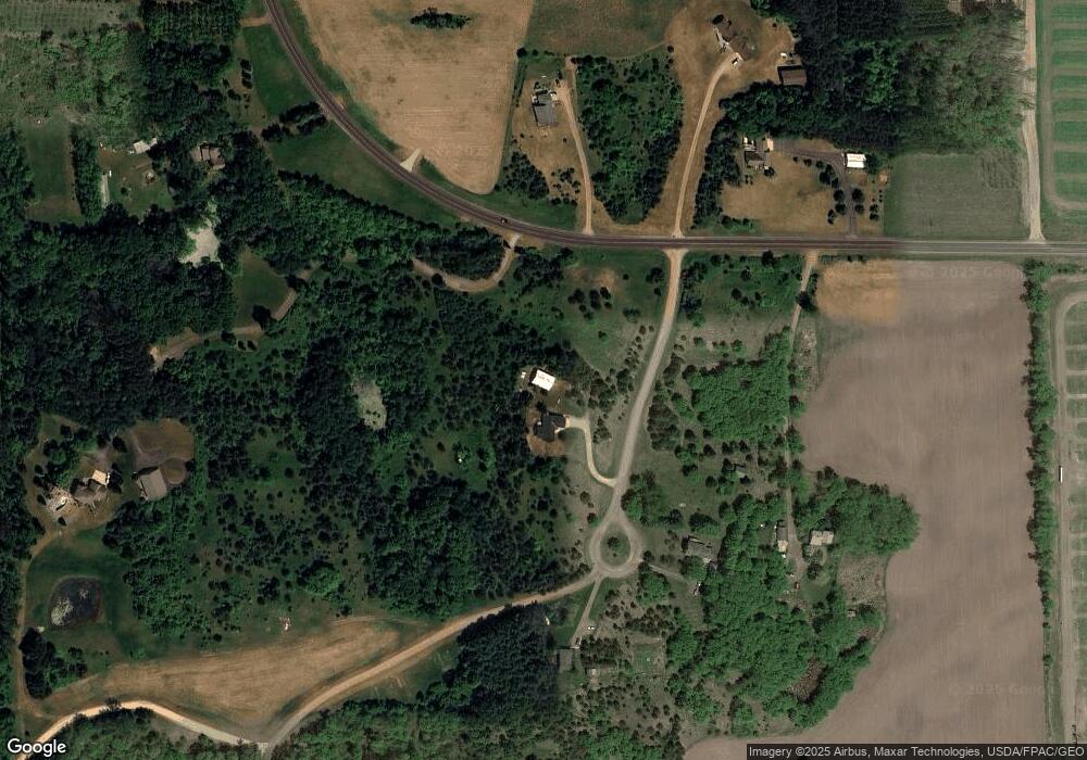
Map
Nearby Homes
- 357 Harriman St
- 1932 64th St
- XXXX 50th St
- 316 Evergreen Dr
- 315 Harriman St
- 206 Red Pine Dr
- 481 Martin Way
- 486 Meadow Ln
- 441 White Pine Ln
- 108 Main St
- 325 Church Hill Rd
- 1986 57th St
- 441 Charles Ln
- 270 Main St
- 302 Main St
- 314 Cedar St
- The Rockport Plan at Pine Vale
- The Newport Plan at Pine Vale
- The Brook View Plan at Pine Vale
- The Cheyenne Plan at Pine Vale
- 1856 58th St
- 1852 58th St
- 1850 58th St
- 1859 58th St
- 1861 County Road I
- 1847 County Road I
- 1868 County Road I
- 1853 County Road I
- Lot 3 60th St
- 0 Lot 3 60th St Unit 6272941
- 1880 County Road I
- xxxx 60th St
- 1884 60th St
- xxx County I 58th St
- 1902 60th St
- 1814 County Road I
- 1814 County Road I
- 1010 Spring St
- 1814 County Road I
- 1813 County Road I