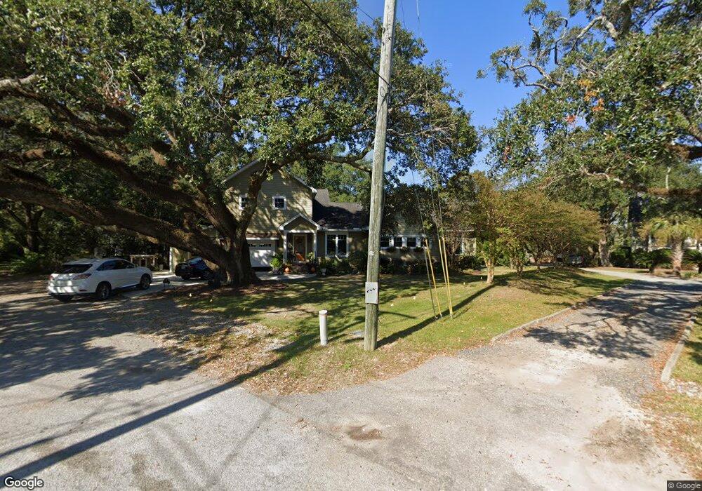
1860 Cornish Ave Charleston, SC 29412
James Island NeighborhoodEstimated Value: $708,145 - $781,000
4
Beds
4
Baths
2,285
Sq Ft
$332/Sq Ft
Est. Value
About This Home
This home is located at 1860 Cornish Ave, Charleston, SC 29412 and is currently estimated at $757,536, approximately $331 per square foot. 1860 Cornish Ave is a home located in Charleston County with nearby schools including Murray-LaSaine Montessori School, James Island Elementary School, and Camp Road Middle.
Ownership History
Date
Name
Owned For
Owner Type
Purchase Details
Closed on
Oct 16, 2014
Sold by
Johnson Robert M
Bought by
Johnson Robert M and Johnson Patricia A
Current Estimated Value
Home Financials for this Owner
Home Financials are based on the most recent Mortgage that was taken out on this home.
Original Mortgage
$192,480
Interest Rate
4.17%
Mortgage Type
Future Advance Clause Open End Mortgage
Purchase Details
Closed on
Dec 2, 2005
Sold by
Johnson Lydia B
Bought by
Johnson Robert M
Create a Home Valuation Report for This Property
The Home Valuation Report is an in-depth analysis detailing your home's value as well as a comparison with similar homes in the area
Home Values in the Area
Average Home Value in this Area
Purchase History
| Date | Buyer | Sale Price | Title Company |
|---|---|---|---|
| Johnson Robert M | -- | -- | |
| Johnson Robert M | -- | None Available |
Source: Public Records
Mortgage History
| Date | Status | Borrower | Loan Amount |
|---|---|---|---|
| Closed | Johnson Robert M | $192,480 |
Source: Public Records
Tax History Compared to Growth
Tax History
| Year | Tax Paid | Tax Assessment Tax Assessment Total Assessment is a certain percentage of the fair market value that is determined by local assessors to be the total taxable value of land and additions on the property. | Land | Improvement |
|---|---|---|---|---|
| 2024 | $1,142 | $8,900 | $0 | $0 |
| 2023 | $1,142 | $8,900 | $0 | $0 |
| 2022 | $1,027 | $8,900 | $0 | $0 |
| 2021 | $1,096 | $8,900 | $0 | $0 |
| 2020 | $1,107 | $8,900 | $0 | $0 |
| 2019 | $986 | $7,480 | $0 | $0 |
| 2017 | $1,284 | $9,480 | $0 | $0 |
| 2016 | $1,232 | $9,480 | $0 | $0 |
| 2015 | $828 | $5,410 | $0 | $0 |
| 2014 | $1,739 | $0 | $0 | $0 |
| 2011 | -- | $0 | $0 | $0 |
Source: Public Records
Map
Nearby Homes
- 835 Hale St
- 842 Centerwood Dr
- 1767 Santee St
- 1764 Lady Ashley St
- 1767 Gilbert St
- 1749 Lady Ashley St
- 1741 Combahee St
- 1734 Combahee St
- 679 & 683 Riley Rd
- 810 Curved Creek Ct
- 779 Riverland Dr
- 826 Curved Creek Ct
- 1950 Bradham Rd
- 1026 Stono River Dr
- 1022 Stono River Dr
- 1981 Central Park Rd
- 21 Rivers Point Row Unit 11 C
- 21 Rivers Point Row Unit 3C
- 1814 S Mayflower Dr
- 1921 Ferguson Rd
- 1864 Cornish Ave
- 1858 Cornish Ave
- 1850 Cornish Ave
- 821 Mellichamp Dr
- 1852 Cornish Ave
- 822 Mellichamp Dr
- 1846 Cornish Ave
- 827 Mellichamp Dr
- 826 Mellichamp Dr
- 0 Cornish Ave Unit 9712041
- 0 Cornish Ave Unit 9712034
- 0 Cornish Ave Unit 9712038
- 0 Cornish Ave Unit 2533970
- 0 Cornish Ave Unit 14027566
- 0 Cornish Ave
- 1842 Cornish Ave
- 1845 Cornish Ave
- 831 Mellichamp Dr
- 832 Mellichamp Dr
- 1840 Cornish Ave