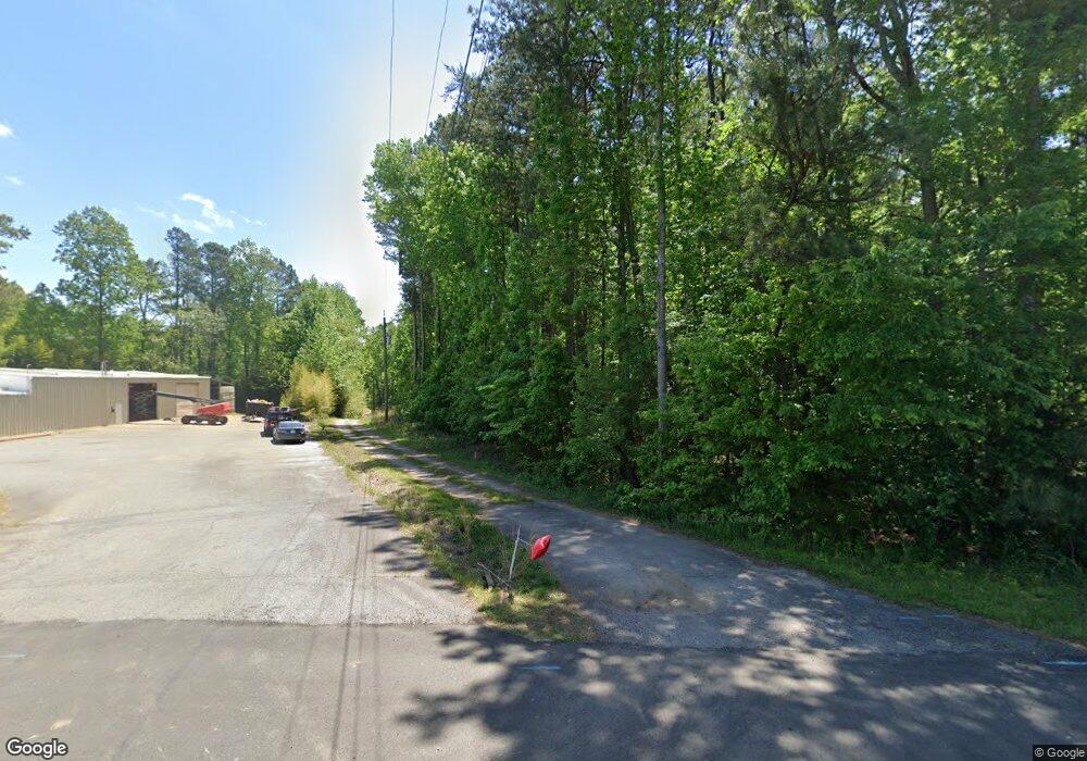
1860 Dahlonega Hwy Cumming, GA 30040
Estimated Value: $590,000 - $2,492,958
--
Bed
--
Bath
3,698
Sq Ft
$417/Sq Ft
Est. Value
About This Home
This home is located at 1860 Dahlonega Hwy, Cumming, GA 30040 and is currently estimated at $1,541,479, approximately $416 per square foot. 1860 Dahlonega Hwy is a home with nearby schools including Cumming Elementary School, Otwell Middle School, and Forsyth Central High School.
Ownership History
Date
Name
Owned For
Owner Type
Purchase Details
Closed on
Aug 28, 2024
Sold by
Rmt Pht Llc
Bought by
Georgia School District
Current Estimated Value
Purchase Details
Closed on
Jul 23, 2024
Sold by
Thomas Richard Morris
Bought by
Worley Nancee Diane Thomas and Miller Deidre Ellen
Purchase Details
Closed on
Jul 19, 2024
Sold by
Worley Nancee Diane Thomas and Miller Deidre Ellen
Bought by
Rmt Pht Llc
Create a Home Valuation Report for This Property
The Home Valuation Report is an in-depth analysis detailing your home's value as well as a comparison with similar homes in the area
Home Values in the Area
Average Home Value in this Area
Purchase History
| Date | Buyer | Sale Price | Title Company |
|---|---|---|---|
| Georgia School District | -- | None Listed On Document | |
| Forsyth County Board Of Education | -- | None Listed On Document | |
| Georgia School District | -- | None Listed On Document | |
| Worley Nancee Diane Thomas | -- | None Listed On Document | |
| Thomas Richard Morris | -- | None Listed On Document | |
| Rmt Pht Llc | -- | None Listed On Document |
Source: Public Records
Tax History Compared to Growth
Tax History
| Year | Tax Paid | Tax Assessment Tax Assessment Total Assessment is a certain percentage of the fair market value that is determined by local assessors to be the total taxable value of land and additions on the property. | Land | Improvement |
|---|---|---|---|---|
| 2025 | $38,883 | $1,651,076 | $1,476,880 | $174,196 |
| 2024 | $38,883 | $1,585,620 | $1,415,620 | $170,000 |
| 2023 | $6,504 | $1,276,720 | $1,112,276 | $164,444 |
| 2022 | $6,392 | $866,940 | $750,972 | $115,968 |
| 2021 | $6,248 | $866,940 | $750,972 | $115,968 |
| 2020 | $6,117 | $781,748 | $670,508 | $111,240 |
| 2019 | $6,237 | $819,540 | $708,908 | $110,632 |
| 2018 | $6,249 | $818,568 | $735,708 | $82,860 |
| 2017 | $5,367 | $674,472 | $589,496 | $84,976 |
| 2016 | $4,548 | $572,572 | $487,596 | $84,976 |
| 2015 | $4,441 | $556,572 | $471,596 | $84,976 |
| 2014 | $4,256 | $557,544 | $471,596 | $85,948 |
Source: Public Records
Map
Nearby Homes
- 2220 Ellen Ln
- 3420 Griffin Way
- 2350 Holly Branch Dr
- 2845 Englewood Dr
- 2455 Pilgrim Rd
- 1802 Lexington Green Pines
- 1902 Lexington Green Pines
- 1672 Tide Mill Rd- Lot 143
- 1705 Rolling View Dr
- 1401 Lexington Green Pines
- 1601 Lexington Green Pines
- 1404 Lexington Green Pines
- 2385 Mayfair Dr
- 1662 Tide Mill Rd- Lot 147
- 1665 Piedmont Ln
- 1653 Tide Mill Road- Lot 80
- 2640 Mayfair Dr
- 1550 Rolling View Dr
- 1975 Antioch Rd
- 1965 Antioch Rd
- 1925 Antioch Rd
- 1995 Antioch Rd
- 1997 Antioch Rd
- 2060 Keith Bridge Rd
- 2005 Antioch Rd
- 1945 Morgan Dr
- 1950 Morgan Dr
- 2015 Antioch Rd
- 1970 Dahlonega Hwy
- 1955 Morgan Dr
- 2010 Clayburn Dr
- 2020 Clayburn Dr
- 1990 Dahlonega Hwy
- 0 Antioch Rd Unit 8454045
- 0 Antioch Rd Unit 7575078
- 0 Antioch Rd Unit 7536036
- 0 Antioch Rd Unit 7536035
- 0 Antioch Rd Unit 3129987