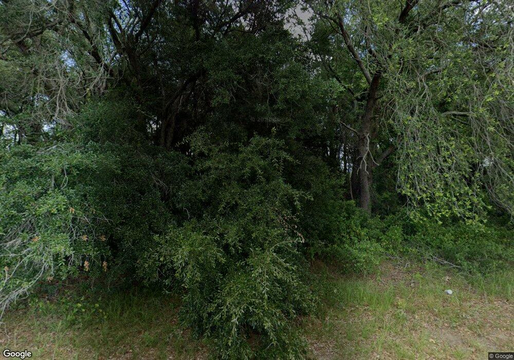
1860 E Oglethorpe Blvd Albany, GA 31705
Estimated Value: $215,000
--
Bed
--
Bath
--
Sq Ft
1.36
Acres
About This Home
This home is located at 1860 E Oglethorpe Blvd, Albany, GA 31705 and is currently priced at $215,000. 1860 E Oglethorpe Blvd is a home located in Dougherty County with nearby schools including Radium Springs Elementary School, Albany Middle School, and Radium Springs Middle School.
Ownership History
Date
Name
Owned For
Owner Type
Purchase Details
Closed on
Oct 21, 2020
Sold by
K4k Llc
Bought by
Srushti Holdings Llc
Current Estimated Value
Purchase Details
Closed on
Nov 18, 2017
Sold by
Green
Bought by
K4k Llc
Purchase Details
Closed on
Mar 7, 2000
Sold by
Patel Dhirajlal S & Amrut G By Atty In F
Bought by
Green Circles Farm Inc
Purchase Details
Closed on
Sep 19, 1997
Sold by
Green Circles Farm Inc
Bought by
Patel Dhirajlal S and Patel Amrut G
Purchase Details
Closed on
Feb 17, 1981
Sold by
Hughes Lonnie R
Bought by
Green Circles Farm
Create a Home Valuation Report for This Property
The Home Valuation Report is an in-depth analysis detailing your home's value as well as a comparison with similar homes in the area
Home Values in the Area
Average Home Value in this Area
Purchase History
| Date | Buyer | Sale Price | Title Company |
|---|---|---|---|
| Srushti Holdings Llc | $12,000 | -- | |
| K4k Llc | $73,100 | -- | |
| Green Circles Farm Inc | -- | -- | |
| Patel Dhirajlal S | $72,500 | -- | |
| Green Circles Farm | $400,000 | -- |
Source: Public Records
Tax History Compared to Growth
Tax History
| Year | Tax Paid | Tax Assessment Tax Assessment Total Assessment is a certain percentage of the fair market value that is determined by local assessors to be the total taxable value of land and additions on the property. | Land | Improvement |
|---|---|---|---|---|
| 2024 | $1,395 | $29,240 | $29,240 | $0 |
| 2023 | $1,362 | $29,240 | $29,240 | $0 |
| 2022 | $1,367 | $29,240 | $29,240 | $0 |
| 2021 | $135 | $29,240 | $29,240 | $0 |
| 2020 | $1,271 | $29,240 | $29,240 | $0 |
| 2019 | $1,275 | $29,240 | $29,240 | $0 |
| 2018 | $1,281 | $29,240 | $29,240 | $0 |
| 2017 | $1,193 | $29,240 | $29,240 | $0 |
| 2016 | $1,194 | $29,240 | $29,240 | $0 |
| 2015 | $1,197 | $29,240 | $29,240 | $0 |
| 2014 | $828 | $20,480 | $20,480 | $0 |
Source: Public Records
Map
Nearby Homes
- 2004 Keystone Ave
- 2006 Keystone Ave
- 2215 E Broad Ave
- 307 Acorn St
- 309 Acorn St
- 306 Elsom St
- 119 N West Rd
- 234 Cone St
- 1532 E Broad Ave
- 811 S Maple St
- 608 Cason St
- 2523 Cherokee Dr
- 1411 E Gordon Ave
- 410 Johnson Rd
- 2529 Cherokee Dr
- 1401 E Waddell Ave
- 1408 E Mercer Ave
- 1400 E Lincoln Ave
- 210 S Carroll St
- 513 Johnson Rd
- 1811 Fulton Ave
- 1905 Fulton Ave
- 1903 Fulton Ave
- 1901 Fulton Ave
- 1809 Fulton Ave
- 219 Franklin Dr
- 2220 Massey Dr
- 0 Fulton Ave
- 1805 Fulton Ave
- 216 Franklin Dr
- 217 Monarch Dr
- 1801 Fulton Ave
- 217 Franklin Dr
- 214 Franklin Dr
- 215 Monarch Dr
- 223 Edison Dr
- 215 Franklin Dr
- 216 Monarch Dr
- 216 Edison Dr
- 212 Franklin Dr
