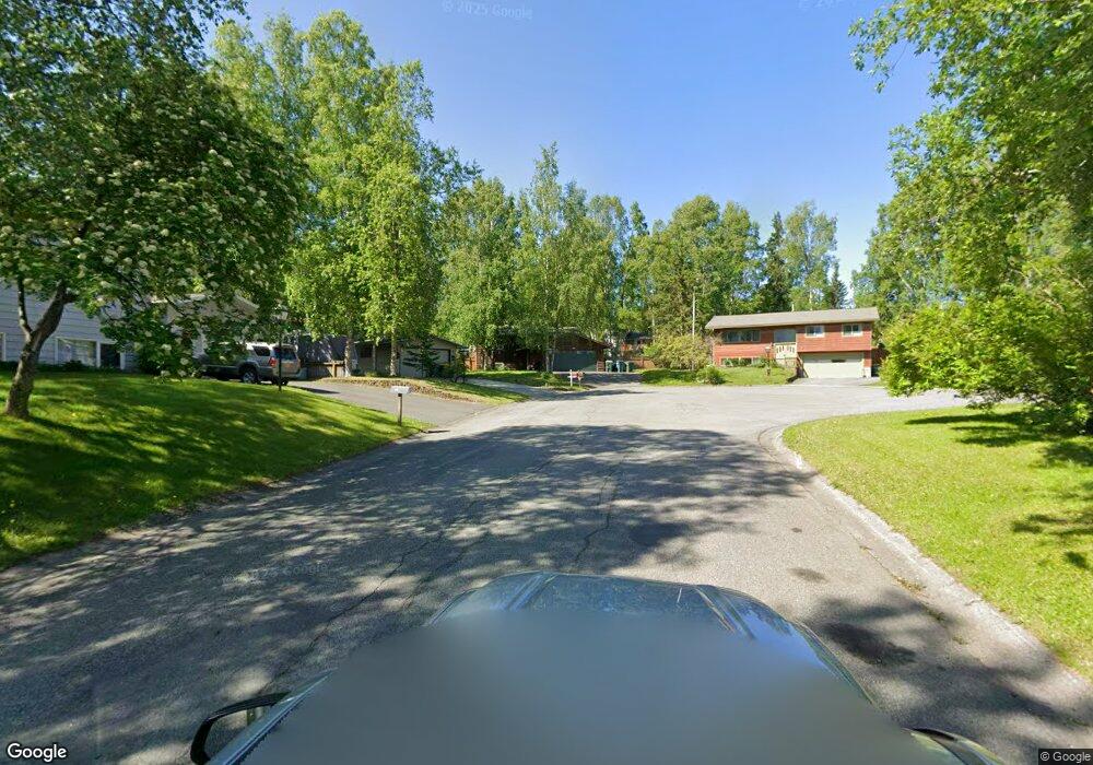
1860 Falcon Cir Anchorage, AK 99504
Northeast Anchorage NeighborhoodEstimated Value: $211,000 - $463,823
3
Beds
2
Baths
1,858
Sq Ft
$185/Sq Ft
Est. Value
About This Home
This home is located at 1860 Falcon Cir, Anchorage, AK 99504 and is currently estimated at $342,956, approximately $184 per square foot. 1860 Falcon Cir is a home located in Anchorage Municipality with nearby schools including Chester Valley Elementary School, Nicholas J. Begich Middle School, and Bartlett High School.
Ownership History
Date
Name
Owned For
Owner Type
Purchase Details
Closed on
Jun 27, 1997
Sold by
Chrisman Kenneth A and Chrisman Theresa C
Bought by
Cloud Robert D and Cloud Vivian A
Current Estimated Value
Purchase Details
Closed on
May 31, 1995
Sold by
Cansler Joseph Carr and Cansler Theresa Varn
Bought by
Chrisman Kenneth A and Chrisman Theresa C
Home Financials for this Owner
Home Financials are based on the most recent Mortgage that was taken out on this home.
Original Mortgage
$151,227
Interest Rate
8.32%
Mortgage Type
FHA
Purchase Details
Closed on
Sep 1, 1992
Sold by
Federal Home Loan Mtg Corp
Bought by
Cansler Joseph C and Cansler Theresa V
Home Financials for this Owner
Home Financials are based on the most recent Mortgage that was taken out on this home.
Original Mortgage
$133,143
Interest Rate
8.04%
Mortgage Type
VA
Create a Home Valuation Report for This Property
The Home Valuation Report is an in-depth analysis detailing your home's value as well as a comparison with similar homes in the area
Home Values in the Area
Average Home Value in this Area
Purchase History
| Date | Buyer | Sale Price | Title Company |
|---|---|---|---|
| Cloud Robert D | -- | -- | |
| Cloud Robert D | -- | -- | |
| Chrisman Kenneth A | -- | -- | |
| Cansler Joseph C | -- | -- |
Source: Public Records
Mortgage History
| Date | Status | Borrower | Loan Amount |
|---|---|---|---|
| Previous Owner | Chrisman Kenneth A | $151,227 | |
| Previous Owner | Cansler Joseph C | $133,143 | |
| Closed | Cloud Robert D | $0 |
Source: Public Records
Tax History Compared to Growth
Tax History
| Year | Tax Paid | Tax Assessment Tax Assessment Total Assessment is a certain percentage of the fair market value that is determined by local assessors to be the total taxable value of land and additions on the property. | Land | Improvement |
|---|---|---|---|---|
| 2025 | $4,915 | $404,000 | $116,300 | $287,700 |
| 2024 | $4,915 | $379,400 | $116,300 | $263,100 |
| 2023 | $6,051 | $355,300 | $116,300 | $239,000 |
| 2022 | $5,007 | $347,300 | $116,300 | $231,000 |
| 2021 | $5,613 | $311,500 | $116,300 | $195,200 |
| 2020 | $4,298 | $303,100 | $116,300 | $186,800 |
| 2019 | $4,185 | $305,800 | $116,300 | $189,500 |
| 2018 | $4,195 | $305,800 | $116,300 | $189,500 |
| 2017 | $4,549 | $310,500 | $116,300 | $194,200 |
| 2016 | $4,082 | $305,600 | $115,100 | $190,500 |
| 2015 | $4,082 | $309,500 | $115,100 | $194,400 |
| 2014 | $4,082 | $288,700 | $105,000 | $183,700 |
Source: Public Records
Map
Nearby Homes
- 7110 Foothill Dr
- 7220 E 20th Ave
- 7120 Chester Ct
- 1516 Otter St
- 1414 Marten St
- 1406 Otter St
- 2441 Scarborough Dr
- 6911 Mink Ave
- Tr E Debarr Rd
- 6124 E 21st Ave
- 1749 Skilak Cir
- 1512 Atkinson Dr
- 1120 Ermine St
- 2020 Muldoon Rd Unit 350
- 1900 Muldoon Rd
- 1601 Elmendorf Dr
- 1507 Elmendorf Dr
- 6811 E 11th Ave
- 000 Muldoon & Debarr Rd
- 6615 E 11th Ave
- 1850 Falcon Cir
- 1861 Falcon Cir
- 1901 Cherokee Way
- 6831 Sherwood Ave
- 1911 Cherokee Way
- 6821 Sherwood Ave
- 1821 Cherokee Way
- 6901 Sherwood Ave
- 1840 Falcon Cir
- 1921 Cherokee Way
- 1811 Cherokee Way
- 6911 Sherwood Ave
- 1851 Falcon Cir
- 1931 Cherokee Way
- 1841 Falcon Cir
- 7200 Foothill Dr
- 7230 Foothill Dr
- 1801 Cherokee Way
- 1900 Cherokee Way
- 1910 Cherokee Way