1860 Main St Castleton, VT 05735
Estimated Value: $264,000 - $550,456
4
Beds
3
Baths
2,592
Sq Ft
$173/Sq Ft
Est. Value
About This Home
This home is located at 1860 Main St, Castleton, VT 05735 and is currently estimated at $447,614, approximately $172 per square foot. 1860 Main St is a home located in Rutland County with nearby schools including Castleton Elementary School, Castleton Village School, and Fair Haven Union High School.
Create a Home Valuation Report for This Property
The Home Valuation Report is an in-depth analysis detailing your home's value as well as a comparison with similar homes in the area
Home Values in the Area
Average Home Value in this Area
Tax History
We collect this data history from publicly available records. To have your information removed, we recommend requesting removal directly through your county’s website.
| Year | Tax Paid | Tax Assessment Tax Assessment Total Assessment is a certain percentage of the fair market value that is determined by local assessors to be the total taxable value of land and additions on the property. | Land | Improvement |
|---|---|---|---|---|
| 2025 | $8,439 | $489,100 | $226,800 | $262,300 |
| 2024 | $8,439 | $333,300 | $153,900 | $179,400 |
| 2023 | $7,383 | $333,300 | $153,900 | $179,400 |
| 2022 | $4,148 | $333,300 | $153,900 | $179,400 |
| 2021 | $4,028 | $328,800 | $153,900 | $174,900 |
| 2020 | $4,118 | $328,800 | $153,900 | $174,900 |
| 2019 | $4,145 | $328,800 | $153,900 | $174,900 |
| 2018 | $4,117 | $328,800 | $153,900 | $174,900 |
| 2017 | $4,253 | $326,400 | $153,900 | $172,500 |
| 2016 | $0 | $326,400 | $153,900 | $172,500 |
| 2015 | -- | $2,472 | $0 | $0 |
| 2014 | -- | $2,280 | $0 | $0 |
| 2013 | -- | $2,274 | $0 | $0 |
Source: Public Records
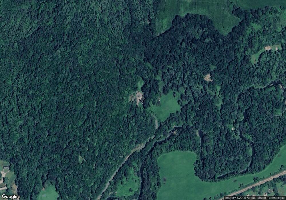
Map
Nearby Homes
- 53-55 Vt Route 30 N
- 21A Preston Ln
- 315 Route 4a W
- 702 Route 30 N
- 56 Blue Cat Ln
- 589 South St
- 97 School St
- 387 Main St
- 350 Main St Unit 1
- 422 Little Rutland Rd
- 69 Julie Ln Unit 5
- 66 Hemmsted Cir
- 175 Creek Rd
- 289 Ledgemere Point
- 81 Crampton Rd Unit 33
- 81 Cramton Rd Unit L-8
- 81 Cramton Rd Unit Lot 17
- 81 Cramton Rd Unit 6
- 2137 Route 30 N
- Lot 9 Applesauce Hill Rd
Your Personal Tour Guide
Ask me questions while you tour the home.