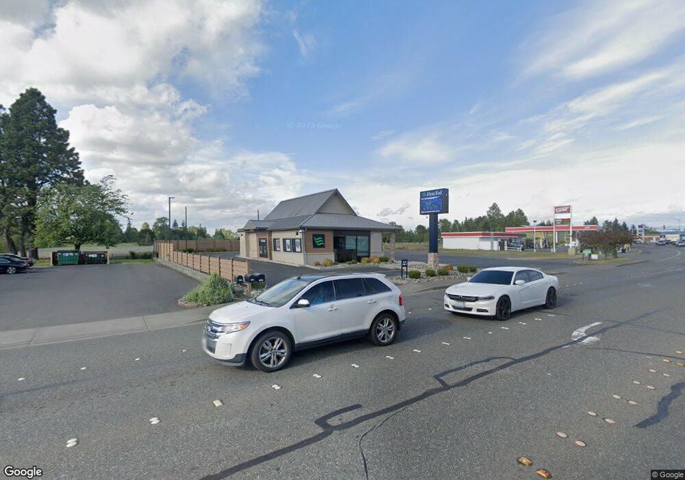
1860 Main St Ferndale, WA 98248
--
Bed
--
Bath
1,526
Sq Ft
0.27
Acres
About This Home
This home is located at 1860 Main St, Ferndale, WA 98248. 1860 Main St is a home located in Whatcom County with nearby schools including Central Elementary School, Vista Middle School, and Ferndale High School.
Ownership History
Date
Name
Owned For
Owner Type
Purchase Details
Closed on
Aug 12, 2020
Sold by
Gone Golfing Llc
Bought by
First Sla Of Port Angeles
Purchase Details
Closed on
Jul 31, 2007
Sold by
Bast At-1 Inc
Bought by
Bank Of The Pacific
Purchase Details
Closed on
May 11, 2007
Sold by
Mount Larry C and Mount Leona M
Bought by
At-1 Bas
Purchase Details
Closed on
Feb 19, 2004
Sold by
Syb Holding Co Inc
Bought by
Mount Larry C and Mount Leona C
Home Financials for this Owner
Home Financials are based on the most recent Mortgage that was taken out on this home.
Original Mortgage
$320,000
Interest Rate
5.85%
Mortgage Type
Unknown
Create a Home Valuation Report for This Property
The Home Valuation Report is an in-depth analysis detailing your home's value as well as a comparison with similar homes in the area
Home Values in the Area
Average Home Value in this Area
Purchase History
| Date | Buyer | Sale Price | Title Company |
|---|---|---|---|
| First Sla Of Port Angeles | $785,000 | Guardian Northwest Title | |
| Bank Of The Pacific | -- | None Available | |
| At-1 Bas | $870,680 | Whatcom Land Title | |
| Mount Larry C | $296,000 | Whatcom Land Title |
Source: Public Records
Mortgage History
| Date | Status | Borrower | Loan Amount |
|---|---|---|---|
| Previous Owner | Mount Larry C | $320,000 |
Source: Public Records
Tax History Compared to Growth
Tax History
| Year | Tax Paid | Tax Assessment Tax Assessment Total Assessment is a certain percentage of the fair market value that is determined by local assessors to be the total taxable value of land and additions on the property. | Land | Improvement |
|---|---|---|---|---|
| 2020 | $6,550 | $605,095 | $244,244 | $360,851 |
| 2019 | $5,382 | $605,095 | $244,244 | $360,851 |
| 2018 | $7,162 | $590,914 | $238,520 | $352,394 |
| 2017 | $6,056 | $590,914 | $238,520 | $352,394 |
| 2016 | $6,037 | $540,500 | $224,190 | $316,310 |
| 2015 | $6,311 | $540,500 | $224,190 | $316,310 |
| 2014 | -- | $552,000 | $228,960 | $323,040 |
| 2013 | -- | $552,000 | $228,960 | $323,040 |
Source: Public Records
Map
Nearby Homes
- 0 Riverside Dr Unit NWM2356867
- 1564 Main St
- 1991 Alder St Unit 204
- 5608 1st Ave
- 5604 3rd Ave
- 2029 Maple St
- 5786 Portal Way
- 5802 2nd Ave
- 1655 Main St
- 5863 Cedar St
- 5879 Anderson Ave
- 5873 Anderson Ave
- 5400 Barrett Rd
- 5865 Anderson Ave
- 5685 Correll Dr
- 5391 La Bounty Dr
- 5675 Rosemary Ave
- 5829 Vista Dr
- 5861 Malloy Ave
- 2234 Main St
- 1860 Main St
- 1874 Main St
- 1850 Main St
- 1873 Main St
- 1851 Main St
- 1863 Main St Unit 113
- 1863 Main St Unit 109
- 1863 Main St
- 1889 Main St
- 1855 Main St Unit 105B
- 1887 Main St
- 5625 Riverside Dr
- 1800 Main St
- 1920 Main St
- 21 XX Main St
- 1811 Main St
- 0 Riverside Dr Unit 938514
- 0 Riverside Dr Unit 1175466
- 0 Riverside Dr Unit NWM2209750