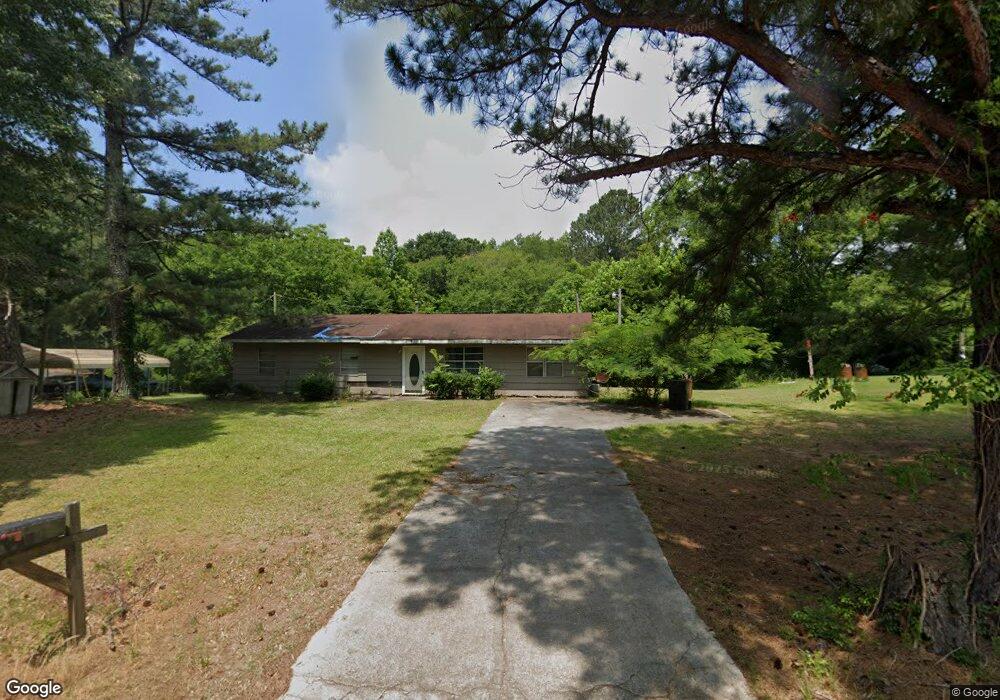
1860 Penfield Rd Greensboro, GA 30642
Estimated Value: $131,784 - $279,000
--
Bed
1
Bath
1,300
Sq Ft
$171/Sq Ft
Est. Value
About This Home
This home is located at 1860 Penfield Rd, Greensboro, GA 30642 and is currently estimated at $222,446, approximately $171 per square foot. 1860 Penfield Rd is a home located in Greene County with nearby schools including Greene County High School.
Ownership History
Date
Name
Owned For
Owner Type
Purchase Details
Closed on
Jan 1, 1983
Sold by
Thomas Douglas and Thomas Lovely
Bought by
Jackson Hilliard and Jackson Rochell
Current Estimated Value
Purchase Details
Closed on
Jan 1, 1979
Sold by
Wilson William R
Bought by
Thomas Douglas and Thomas Lovely
Purchase Details
Closed on
Jan 1, 1978
Sold by
Mapp Addie L
Bought by
Wilson William R
Purchase Details
Closed on
Mar 1, 1975
Sold by
Wilson William R
Bought by
Mapp Addie L
Purchase Details
Closed on
Feb 1, 1975
Sold by
Stephens Melvin
Bought by
Wilson William R
Purchase Details
Closed on
Jan 1, 1975
Sold by
Mapp Addie Lou
Bought by
Stephens Melvin
Create a Home Valuation Report for This Property
The Home Valuation Report is an in-depth analysis detailing your home's value as well as a comparison with similar homes in the area
Home Values in the Area
Average Home Value in this Area
Purchase History
| Date | Buyer | Sale Price | Title Company |
|---|---|---|---|
| Jackson Hilliard | -- | -- | |
| Thomas Douglas | -- | -- | |
| Wilson William R | -- | -- | |
| Mapp Addie L | -- | -- | |
| Wilson William R | -- | -- | |
| Stephens Melvin | -- | -- | |
| Mapp Addie Lou | -- | -- |
Source: Public Records
Tax History Compared to Growth
Tax History
| Year | Tax Paid | Tax Assessment Tax Assessment Total Assessment is a certain percentage of the fair market value that is determined by local assessors to be the total taxable value of land and additions on the property. | Land | Improvement |
|---|---|---|---|---|
| 2024 | $823 | $28,160 | $6,320 | $21,840 |
| 2023 | $615 | $24,920 | $4,800 | $20,120 |
| 2022 | $453 | $16,160 | $4,920 | $11,240 |
| 2021 | $403 | $14,800 | $4,920 | $9,880 |
| 2020 | $339 | $10,600 | $3,640 | $6,960 |
| 2019 | $346 | $10,600 | $3,640 | $6,960 |
| 2018 | $324 | $10,600 | $3,640 | $6,960 |
| 2017 | $313 | $10,665 | $3,673 | $6,992 |
| 2016 | $321 | $11,102 | $3,673 | $7,429 |
| 2015 | $292 | $11,102 | $3,673 | $7,429 |
| 2014 | $302 | $11,369 | $3,673 | $7,696 |
Source: Public Records
Map
Nearby Homes
- 1131 Planing Mill Rd
- 1141 Planing Mill Rd
- 0 Railroad St Unit 218854
- 0 Railroad St Unit 10578007
- 0 Railroad St Unit 531919
- 1020 Horton Dr
- 1531 E Broad St
- 301 N East St
- 1060 Twin Pines Cir
- 15 South St Unit Siloam Road
- 0 Union Point Hwy Unit 69532
- 0 Union Point Hwy Unit 7607786
- 0 Union Point Hwy Unit 10555176
- 208 W South St
- 0 Cunningham Rd
- 2260 Cunningham Rd
- 504 Martin Luther King Junior Dr
- 0 Maple Cir
- 314 W South St
- 0 Canaan St
- 1850 Penfield Rd
- 1830 Penfield Rd
- 41.23 AC Penfield Rd
- 83.45 AC Penfield Rd
- 0000 Penfield Rd
- 00 Penfield Rd
- 1930 Penfield Rd
- 1781 Penfield Rd
- 1940 Penfield Rd
- 0 Old Union Point Rd Unit 8428489
- 0 Old Union Point Rd Unit 5926190
- 0 Old Union Point Rd Unit 8278762
- 0 Old Union Point Rd Unit 7082832
- 0 Old Union Point Rd Unit 20165833
- 0 Old Union Point Rd Unit 64047
- 0 Old Union Point Rd Unit 58457
- 0 Old Union Point Rd Unit 8918558
- 0 Old Union Point Rd Unit 58456
- 0 Old Union Point Rd Unit 6685160
- 0 Old Union Point Rd Unit 8741575