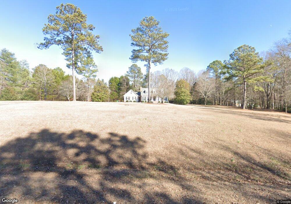
1860 Rivermist Dr Monroe, GA 30655
Estimated Value: $441,000 - $549,000
Studio
3
Baths
2,289
Sq Ft
$216/Sq Ft
Est. Value
About This Home
This home is located at 1860 Rivermist Dr, Monroe, GA 30655 and is currently estimated at $495,541, approximately $216 per square foot. 1860 Rivermist Dr is a home located in Walton County with nearby schools including Atha Road Elementary School, Youth Middle School, and Walnut Grove High School.
Ownership History
Date
Name
Owned For
Owner Type
Purchase Details
Closed on
Jun 8, 2022
Sold by
Lowery Joshua
Bought by
Ferrero Matias Perez and Richards Amanda
Current Estimated Value
Home Financials for this Owner
Home Financials are based on the most recent Mortgage that was taken out on this home.
Original Mortgage
$301,000
Outstanding Balance
$285,253
Interest Rate
5.3%
Mortgage Type
New Conventional
Estimated Equity
$210,288
Purchase Details
Closed on
Feb 9, 2017
Sold by
Ruff Virginia D
Bought by
Lowery Joshua and Lowery Erica
Purchase Details
Closed on
Oct 5, 1987
Bought by
Ruff Orville
Create a Home Valuation Report for This Property
The Home Valuation Report is an in-depth analysis detailing your home's value as well as a comparison with similar homes in the area
Home Values in the Area
Average Home Value in this Area
Purchase History
| Date | Buyer | Sale Price | Title Company |
|---|---|---|---|
| Ferrero Matias Perez | $450,000 | -- | |
| Lowery Joshua | $268,000 | -- | |
| Ruff Orville | -- | -- |
Source: Public Records
Mortgage History
| Date | Status | Borrower | Loan Amount |
|---|---|---|---|
| Open | Ferrero Matias Perez | $301,000 |
Source: Public Records
Tax History
| Year | Tax Paid | Tax Assessment Tax Assessment Total Assessment is a certain percentage of the fair market value that is determined by local assessors to be the total taxable value of land and additions on the property. | Land | Improvement |
|---|---|---|---|---|
| 2025 | $4,855 | $186,000 | $32,240 | $153,760 |
| 2024 | $4,855 | $181,760 | $32,240 | $149,520 |
| 2023 | $4,841 | $171,880 | $27,760 | $144,120 |
| 2022 | $3,976 | $143,320 | $24,840 | $118,480 |
| 2021 | $3,658 | $121,520 | $19,320 | $102,200 |
| 2020 | $3,444 | $107,160 | $16,760 | $90,400 |
| 2019 | $3,304 | $96,520 | $14,880 | $81,640 |
| 2018 | $3,191 | $96,520 | $14,880 | $81,640 |
| 2017 | $3,375 | $97,960 | $14,880 | $83,080 |
| 2016 | $605 | $63,760 | $10,600 | $53,160 |
| 2015 | $605 | $59,160 | $10,600 | $48,560 |
| 2014 | $624 | $52,160 | $0 | $0 |
Source: Public Records
Map
Nearby Homes
- Edgefield Plan at Pinehurst Estates
- Roanoke Plan at Pinehurst Estates
- Charleston Plan at Pinehurst Estates
- Waverly Plan at Pinehurst Estates
- Colfax Plan at Pinehurst Estates
- McDowell Plan at Pinehurst Estates
- 2112 Meadowood Cove
- 1520 Rivermist Dr
- 3055 Kari Brook Ln
- 182 Bella Dr
- 182 Bella Dr
- 83 Bella Dr
- 235 Bella Dr
- 43 Belmont Ct
- 306 Calumet Ln
- 590 Riverbend Rd
- 2669 H D Atha Rd
- 152 White Oak Way
- 2659 H D Atha Rd
- 492 Nunnally Farm Rd
- 1860 Rivermist Dr
- 1880 Rivermist Dr
- 1820 Rivermist Dr
- 1840 Rivermist Dr
- 1901 Rivermist Dr
- 1815 Ammons Bridge Rd
- 1861 Rivermist Dr
- 1800 Rivermist Dr
- 1805 Ammons Bridge Rd
- 1841 Rivermist Dr
- 1795 Ammons Bridge Rd
- 1780 Rivermist Dr
- 1821 Rivermist Dr
- 1761 Rivermist Dr
- 1881 Rivermist Dr Unit B
- 1881 Rivermist Dr Unit A
- 1881 Rivermist Dr
- 1785 Ammons Bridge Rd
- 1781 Rivermist Dr
- 1741 Rivermist Dr
Your Personal Tour Guide
Ask me questions while you tour the home.