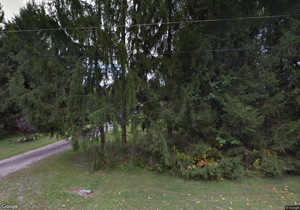
1860 Simison Rd Spring Valley, OH 45370
Estimated Value: $269,000 - $488,000
4
Beds
2
Baths
1,750
Sq Ft
$215/Sq Ft
Est. Value
About This Home
This home is located at 1860 Simison Rd, Spring Valley, OH 45370 and is currently estimated at $375,700, approximately $214 per square foot. 1860 Simison Rd is a home located in Greene County with nearby schools including Xenia High School and Summit Academy Community School for Alternative Learners - Xenia.
Ownership History
Date
Name
Owned For
Owner Type
Purchase Details
Closed on
Jul 2, 2003
Sold by
Hill Steven P
Bought by
Hill Anne B
Current Estimated Value
Home Financials for this Owner
Home Financials are based on the most recent Mortgage that was taken out on this home.
Original Mortgage
$113,000
Interest Rate
5.3%
Mortgage Type
Unknown
Create a Home Valuation Report for This Property
The Home Valuation Report is an in-depth analysis detailing your home's value as well as a comparison with similar homes in the area
Purchase History
| Date | Buyer | Sale Price | Title Company |
|---|---|---|---|
| Hill Anne B | -- | Midwest Abstract Company |
Source: Public Records
Mortgage History
| Date | Status | Borrower | Loan Amount |
|---|---|---|---|
| Previous Owner | Hill Anne B | $113,000 | |
| Closed | Hill Anne B | $17,000 |
Source: Public Records
Tax History
| Year | Tax Paid | Tax Assessment Tax Assessment Total Assessment is a certain percentage of the fair market value that is determined by local assessors to be the total taxable value of land and additions on the property. | Land | Improvement |
|---|---|---|---|---|
| 2024 | $4,444 | $86,570 | $30,700 | $55,870 |
| 2023 | $4,409 | $86,570 | $30,700 | $55,870 |
| 2022 | $4,086 | $69,270 | $28,780 | $40,490 |
| 2021 | $4,135 | $69,270 | $28,780 | $40,490 |
| 2020 | $3,796 | $69,270 | $28,780 | $40,490 |
| 2019 | $3,414 | $58,400 | $24,360 | $34,040 |
| 2018 | $3,368 | $58,400 | $24,360 | $34,040 |
| 2017 | $3,171 | $58,400 | $24,360 | $34,040 |
| 2016 | $3,171 | $56,120 | $23,660 | $32,460 |
| 2015 | $3,180 | $56,120 | $23,660 | $32,460 |
| 2014 | $3,053 | $56,120 | $23,660 | $32,460 |
Source: Public Records
Map
Nearby Homes
- 1839 Simison Rd
- 2131 Simison Rd
- 2471 Lower Bellbrook Rd
- 2336 Washington Mill Rd
- 196 Mound St
- 1753 Cedar Ridge Dr
- 2779 W End Ct
- Chatham Plan at Edenbridge
- Bellamy Plan at Edenbridge
- Holcombe Plan at Edenbridge
- Henley Plan at Edenbridge
- Newcastle Plan at Edenbridge
- 1474 Hawkshead St
- 1272 Baybury Ave
- 1293 Baybury Ave
- 1256 Baybury Ave
- 1253 Baybury Ave
- 1282 Baybury Ave
- 1298 Baybury Ave
- 1304 Baybury Ave
- 1806 Simison Rd
- 1818 Simison Rd
- 1828 Simison Rd
- 1840 Simison Rd
- 1861 Simison Rd
- 1829 Simison Rd
- 1817 Simison Rd
- 1941 Lower Bellbrook Rd
- 1803 Simison Rd
- 1955 Lower Bellbrook Rd
- 1929 Lower Bellbrook Rd
- 1969 Lower Bellbrook Rd
- 1907 Lower Bellbrook Rd
- 2035 Lower Bellbrook Rd
- 1899 Lower Bellbrook Rd
- 1987 Lower Bellbrook Rd
- 1781 Simison Rd
- 1920 Lower Bellbrook Rd
- 1794 Simison Rd
- 2015 Lower Bellbrook Rd
