Estimated Value: $972,000 - $1,379,000
3
Beds
3
Baths
4,111
Sq Ft
$282/Sq Ft
Est. Value
About This Home
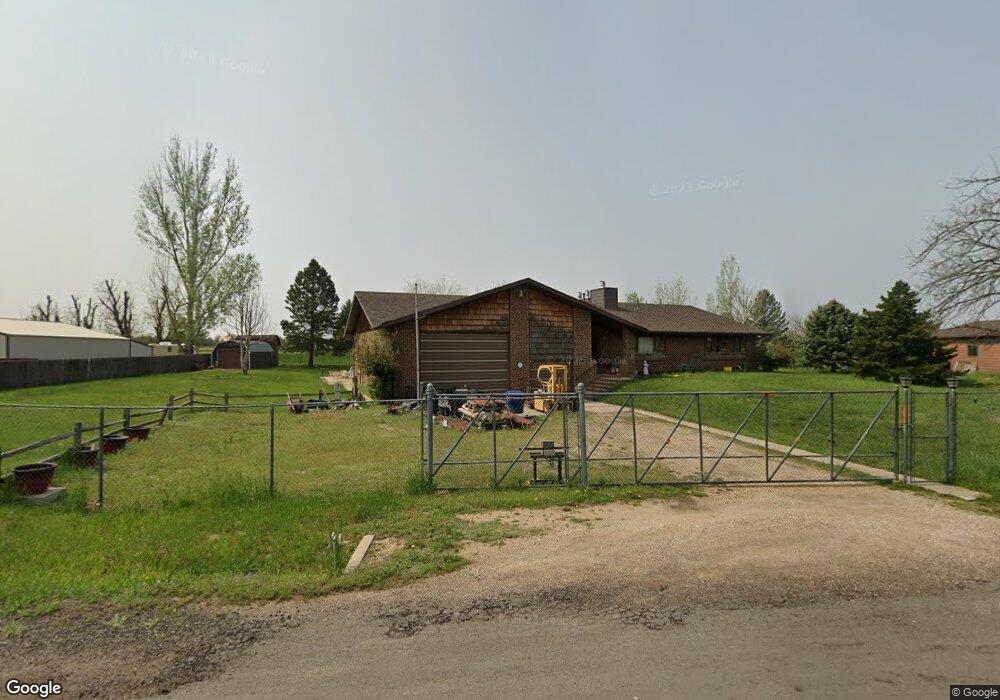
This home is located at 1860 Spruce Dr, Erie, CO 80516 and is currently estimated at $1,158,259, approximately $281 per square foot. 1860 Spruce Dr is a home located in Weld County with nearby schools including Erie Elementary School, Erie Middle School, and Erie High School.
Ownership History
Date
Name
Owned For
Owner Type
Purchase Details
Closed on
Jun 1, 1999
Sold by
Panella Spangler Margaret and Panella Harvey R
Bought by
Johnson Donald C and Johnson Joyce L
Current Estimated Value
Home Financials for this Owner
Home Financials are based on the most recent Mortgage that was taken out on this home.
Original Mortgage
$339,900
Interest Rate
6.91%
Purchase Details
Closed on
Sep 18, 1997
Sold by
Ellison Roger K and Ellison Linda R
Bought by
Spangler Margaret Panella and Harvey Spangler R
Home Financials for this Owner
Home Financials are based on the most recent Mortgage that was taken out on this home.
Original Mortgage
$195,000
Interest Rate
7.25%
Purchase Details
Closed on
Nov 26, 1984
Create a Home Valuation Report for This Property
The Home Valuation Report is an in-depth analysis detailing your home's value as well as a comparison with similar homes in the area
Home Values in the Area
Average Home Value in this Area
Purchase History
| Date | Buyer | Sale Price | Title Company |
|---|---|---|---|
| Johnson Donald C | $349,900 | Stewart Title | |
| Spangler Margaret Panella | $295,000 | First American Heritage Titl | |
| -- | -- | -- | |
| Ellison Roger K | $170,000 | -- |
Source: Public Records
Mortgage History
| Date | Status | Borrower | Loan Amount |
|---|---|---|---|
| Closed | Johnson Donald C | $339,900 | |
| Previous Owner | Spangler Margaret Panella | $195,000 |
Source: Public Records
Tax History Compared to Growth
Tax History
| Year | Tax Paid | Tax Assessment Tax Assessment Total Assessment is a certain percentage of the fair market value that is determined by local assessors to be the total taxable value of land and additions on the property. | Land | Improvement |
|---|---|---|---|---|
| 2025 | $5,358 | $62,150 | $14,310 | $47,840 |
| 2024 | $5,358 | $62,150 | $14,310 | $47,840 |
| 2023 | $4,536 | $61,540 | $15,490 | $46,050 |
| 2022 | $3,666 | $46,000 | $10,560 | $35,440 |
| 2021 | $3,731 | $47,330 | $10,870 | $36,460 |
| 2020 | $3,259 | $42,580 | $10,390 | $32,190 |
| 2019 | $3,296 | $42,580 | $10,390 | $32,190 |
| 2018 | $4,171 | $52,580 | $6,120 | $46,460 |
| 2017 | $4,002 | $52,580 | $6,120 | $46,460 |
| 2016 | $3,235 | $44,410 | $5,970 | $38,440 |
| 2015 | $3,125 | $44,410 | $5,970 | $38,440 |
| 2014 | $2,478 | $28,990 | $4,680 | $24,310 |
Source: Public Records
Map
Nearby Homes
- 1813 Pikes Peak St
- 4764 Beverly Ln
- 5580 Summit Way
- 2344 County Road 12
- 4625 Beverly Ln
- 4738 County Road 5
- 1373 Lumber Ridge S
- 1353 Lumber Ridge S
- 1434 Lumber Ridge S
- 718 State Highway 52
- 270 Maddox Ln
- 1820 Metcalf Ct
- 309 Mora Place
- 360 Marlowe Ct
- 1920 Miranda Rd
- 6021 Sandstone Cir
- 6009 Caribou Ct
- 1351 Yale Ave
- 1963 Merrill Cir
- 818 County Road 10 1 2
- 1880 Spruce Dr
- 1881 Spruce Dr
- 1920 Spruce Dr
- 1841 Spruce Dr
- 1820 Spruce Dr
- 1921 Spruce Dr
- 1941 Spruce Dr
- 1940 Spruce Dr
- 1844 Pikes Peak St
- 1780 Spruce Dr
- 1781 Spruce Dr
- 1874 Pikes Peak St
- 1960 Spruce Dr
- 1760 Spruce Dr
- 1904 Pikes Peak St
- 1843 Pikes Peak St
- 0 Tbd County Road 5
- 5306 Fir Ave
- 5802 Clemma Ct
- 5337 Aspen Ave