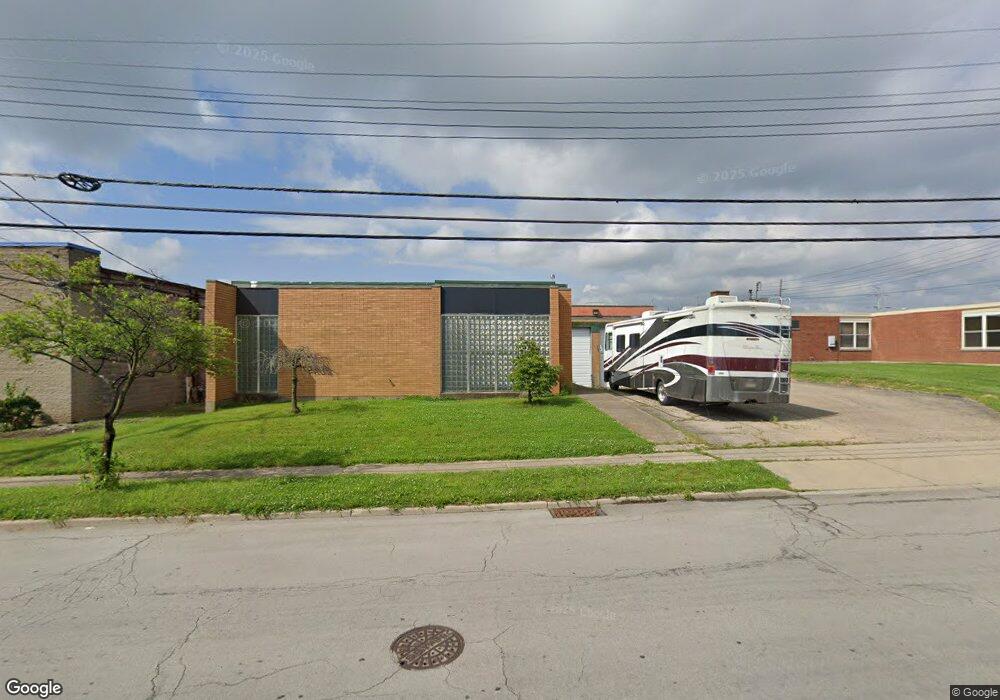
1860 Summit Rd Cincinnati, OH 45237
Roselawn NeighborhoodEstimated Value: $787,923
Studio
--
Bath
11,640
Sq Ft
$68/Sq Ft
Est. Value
About This Home
This home is located at 1860 Summit Rd, Cincinnati, OH 45237 and is currently estimated at $787,923, approximately $67 per square foot. 1860 Summit Rd is a home located in Hamilton County with nearby schools including Roselawn Condon School, Shroder High School, and Clark Montessori High School.
Ownership History
Date
Name
Owned For
Owner Type
Purchase Details
Closed on
Feb 28, 2017
Sold by
Waxler William A and Waxler Kimberly
Bought by
Player Plano Shop Of Cincinnati Llc
Current Estimated Value
Purchase Details
Closed on
Mar 31, 2000
Sold by
Waxler William A
Bought by
Waxler William A
Purchase Details
Closed on
Jan 6, 1999
Sold by
Barry Waxler and Barry Elaine
Bought by
Waxler Barry and Barry Waxler Trust
Purchase Details
Closed on
Jan 19, 1995
Sold by
D F Enterprises Inc
Bought by
Waxler Barry
Create a Home Valuation Report for This Property
The Home Valuation Report is an in-depth analysis detailing your home's value as well as a comparison with similar homes in the area
Home Values in the Area
Average Home Value in this Area
Purchase History
| Date | Buyer | Sale Price | Title Company |
|---|---|---|---|
| Player Plano Shop Of Cincinnati Llc | $350,000 | -- | |
| Waxler William A | -- | -- | |
| Waxler Barry | -- | -- | |
| Waxler Barry | -- | -- |
Source: Public Records
Tax History
| Year | Tax Paid | Tax Assessment Tax Assessment Total Assessment is a certain percentage of the fair market value that is determined by local assessors to be the total taxable value of land and additions on the property. | Land | Improvement |
|---|---|---|---|---|
| 2025 | $11,031 | $132,836 | $18,015 | $114,821 |
| 2024 | $10,957 | $132,836 | $18,015 | $114,821 |
| 2023 | $10,929 | $132,836 | $18,015 | $114,821 |
| 2022 | $11,565 | $127,401 | $18,736 | $108,665 |
| 2021 | $11,356 | $127,401 | $18,736 | $108,665 |
| 2020 | $11,369 | $127,401 | $18,736 | $108,665 |
| 2019 | $11,836 | $122,501 | $18,015 | $104,486 |
| 2018 | $11,842 | $122,501 | $18,015 | $104,486 |
| 2017 | $11,468 | $122,501 | $18,015 | $104,486 |
| 2016 | $7,116 | $74,407 | $17,910 | $56,497 |
| 2015 | $6,538 | $74,407 | $17,910 | $56,497 |
| 2014 | $6,561 | $74,407 | $17,910 | $56,497 |
| 2013 | $6,996 | $79,156 | $19,054 | $60,102 |
Source: Public Records
Map
Nearby Homes
- 1808 Crest Hill Ave
- 7829 Sunfield Dr
- 7831 Glen Orchard Dr
- 7505 Greenland Place
- 7871 Glenorchard Dr
- 1622 Shenandoah Ave
- 1849 Greenbriar Place
- 6770 Elbrook Ave
- 6750 Elbrook Ave
- 1519 Section Rd
- 1501 Summit Rd
- 1543 Corvallis Ave
- 1522 Kenova Ave
- 2344 Losantiville Ave
- 1418 Lakeland Ave
- 1535 Kenova Ave
- 2327 Losantiville Ave
- 7119 Eastlawn Dr
- 241 Oakmont St
- 529 Elliott Ave
- 1854 Summit Rd
- 1848 Summit Rd
- 7737 Reinhold Dr
- 7750 Reading Rd
- 7762 Reading Rd
- 7641 Reinhold Dr
- 7654 Production Dr
- 7655 Production Dr
- 7798 Reading Rd
- 7733 Reading Rd
- 7751 Reading Rd
- 1666 Summit Rd
- 7743 Reading Rd Unit 7751
- 7743 Reading Rd
- 1663 Summit Rd
- 1662 Summit Rd
- 1661 Summit Rd
- 7637 Production Dr
- 7740 Stillwell Rd Unit 7740 Stillwell Rd
- 7740 Stillwell Rd Unit 3
Your Personal Tour Guide
Ask me questions while you tour the home.