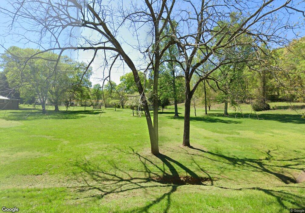
1860 Taylorsville Rd Rockmart, GA 30153
Estimated Value: $79,990 - $255,000
--
Bed
--
Bath
1,280
Sq Ft
$148/Sq Ft
Est. Value
About This Home
This home is located at 1860 Taylorsville Rd, Rockmart, GA 30153 and is currently estimated at $189,330, approximately $147 per square foot. 1860 Taylorsville Rd is a home with nearby schools including Rockmart Middle School.
Ownership History
Date
Name
Owned For
Owner Type
Purchase Details
Closed on
Aug 23, 2022
Sold by
Weaver Gay D
Bought by
Weaver Kenneth W and Weaver Gay D
Current Estimated Value
Purchase Details
Closed on
Jun 14, 2022
Sold by
Deems Coy Estate
Bought by
Weaver Gay D
Purchase Details
Closed on
Jan 28, 2005
Sold by
Deems Fain
Bought by
Deems Fain and Deems Coy
Purchase Details
Closed on
Jan 17, 2005
Sold by
Zumaran Margo L
Bought by
Deems Fain
Purchase Details
Closed on
Jan 17, 2004
Sold by
Zumaran Margo L
Bought by
Deems Fain
Purchase Details
Closed on
Oct 23, 1996
Sold by
Deaton Joel F
Bought by
Zumaran Margo L
Purchase Details
Closed on
Jan 25, 1947
Bought by
Deaton Joel F
Create a Home Valuation Report for This Property
The Home Valuation Report is an in-depth analysis detailing your home's value as well as a comparison with similar homes in the area
Home Values in the Area
Average Home Value in this Area
Purchase History
| Date | Buyer | Sale Price | Title Company |
|---|---|---|---|
| Weaver Kenneth W | -- | -- | |
| Weaver Gay D | -- | -- | |
| Deems Fain | -- | -- | |
| Deems Fain | -- | -- | |
| Deems Fain | -- | -- | |
| Zumaran Margo L | $64,000 | -- | |
| Deaton Joel F | -- | -- |
Source: Public Records
Tax History Compared to Growth
Tax History
| Year | Tax Paid | Tax Assessment Tax Assessment Total Assessment is a certain percentage of the fair market value that is determined by local assessors to be the total taxable value of land and additions on the property. | Land | Improvement |
|---|---|---|---|---|
| 2024 | $352 | $16,824 | $15,447 | $1,377 |
| 2023 | $399 | $16,824 | $15,447 | $1,377 |
| 2022 | $277 | $11,675 | $10,298 | $1,377 |
| 2021 | $281 | $11,675 | $10,298 | $1,377 |
| 2020 | $281 | $11,675 | $10,298 | $1,377 |
| 2019 | $323 | $12,014 | $10,298 | $1,716 |
| 2018 | $331 | $12,014 | $10,298 | $1,716 |
| 2017 | $327 | $12,014 | $10,298 | $1,716 |
| 2016 | $457 | $16,787 | $13,948 | $2,840 |
| 2015 | $458 | $16,787 | $13,948 | $2,840 |
| 2014 | $462 | $16,787 | $13,948 | $2,840 |
Source: Public Records
Map
Nearby Homes
- 1901 Taylorsville Rd
- 1854 Taylorsville Rd
- 1894 Taylorsville Rd
- 1972 Taylorsville Rd
- 1992 Taylorsville Rd
- 000000 Taylorsville Rd
- 0000 Taylorsville Rd
- 00000 Taylorsville Rd
- 000 Taylorsville Rd
- 2061 Taylorsville Rd
- 2013 Taylorsville Rd
- 2062 Taylorsville Rd
- 2061 Taylorsville Rd
- 2078 Taylorsville Rd
- 2060 Taylorsville Rd
- 2164 Taylorsville Rd
- 2014 Taylorsville Rd
- 2186 Taylorsville Rd
- 1616 Taylorsville Rd
- 2277 Taylorsville Rd
