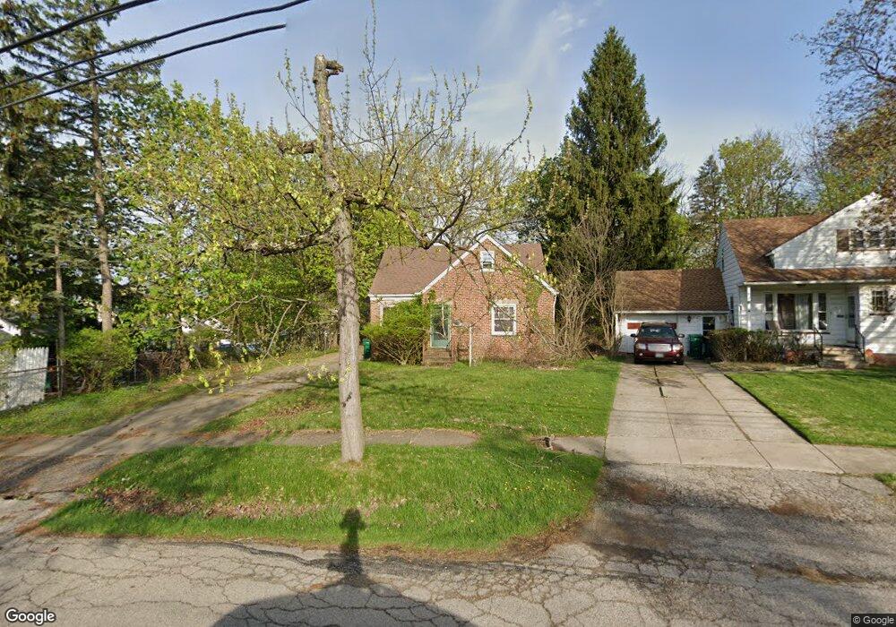
18601 Harlan Dr Maple Heights, OH 44137
Estimated Value: $127,340 - $151,000
3
Beds
1
Bath
1,460
Sq Ft
$96/Sq Ft
Est. Value
About This Home
This home is located at 18601 Harlan Dr, Maple Heights, OH 44137 and is currently estimated at $139,585, approximately $95 per square foot. 18601 Harlan Dr is a home located in Cuyahoga County with nearby schools including Abraham Lincoln Elementary School, Rockside/ J.F. Kennedy School, and Italy High School.
Ownership History
Date
Name
Owned For
Owner Type
Purchase Details
Closed on
Mar 1, 1998
Sold by
Fievet Elizabeth A and Murphy Elizabeth A
Bought by
Fievet William J
Current Estimated Value
Purchase Details
Closed on
Aug 30, 1994
Sold by
Myers John H
Bought by
Joseph William and Fievet Elizabeth A
Home Financials for this Owner
Home Financials are based on the most recent Mortgage that was taken out on this home.
Original Mortgage
$79,959
Interest Rate
8.72%
Mortgage Type
FHA
Purchase Details
Closed on
May 22, 1990
Sold by
Meyers John H
Bought by
Myers John H
Purchase Details
Closed on
Mar 30, 1990
Sold by
Schabel Neil E
Bought by
Meyers John H
Purchase Details
Closed on
Mar 1, 1988
Sold by
Murphy Pauline M
Bought by
Schabel Neil E
Purchase Details
Closed on
Jan 1, 1975
Bought by
Murphy Pauline M
Create a Home Valuation Report for This Property
The Home Valuation Report is an in-depth analysis detailing your home's value as well as a comparison with similar homes in the area
Home Values in the Area
Average Home Value in this Area
Purchase History
| Date | Buyer | Sale Price | Title Company |
|---|---|---|---|
| Fievet William J | -- | -- | |
| Joseph William | $80,000 | -- | |
| Myers John H | -- | -- | |
| Meyers John H | $65,500 | -- | |
| Schabel Neil E | $57,500 | -- | |
| Murphy Pauline M | -- | -- |
Source: Public Records
Mortgage History
| Date | Status | Borrower | Loan Amount |
|---|---|---|---|
| Closed | Joseph William | $79,959 |
Source: Public Records
Tax History Compared to Growth
Tax History
| Year | Tax Paid | Tax Assessment Tax Assessment Total Assessment is a certain percentage of the fair market value that is determined by local assessors to be the total taxable value of land and additions on the property. | Land | Improvement |
|---|---|---|---|---|
| 2024 | $3,650 | $40,740 | $11,410 | $29,330 |
| 2023 | $2,400 | $22,230 | $6,930 | $15,300 |
| 2022 | $2,392 | $22,225 | $6,930 | $15,295 |
| 2021 | $3,002 | $22,230 | $6,930 | $15,300 |
| 2020 | $2,180 | $16,840 | $5,250 | $11,590 |
| 2019 | $2,621 | $48,100 | $15,000 | $33,100 |
| 2018 | $1,987 | $16,840 | $5,250 | $11,590 |
| 2017 | $2,017 | $15,190 | $4,830 | $10,360 |
| 2016 | $1,950 | $15,190 | $4,830 | $10,360 |
| 2015 | $1,947 | $15,190 | $4,830 | $10,360 |
| 2014 | $1,947 | $16,700 | $5,320 | $11,380 |
Source: Public Records
Map
Nearby Homes
- 5234 Erwin St
- 5265 Bellview St
- 5357 Beechwood Ave
- 5239 Arch St
- 18909 Maple Heights Blvd
- 5199 Arch St
- 5409 Hollywood Ave
- 19221 Stafford Ave
- 5165 Camden Rd
- 17916 North Blvd
- 17912 North Blvd
- 19309 Nitra Ave
- 19520 Maple Heights Blvd
- 5257 Philip Ave
- 5231 Philip Ave
- 17806 Maple Heights Blvd
- 19289 Stafford Ave
- 5031 Cato St
- 19806 Mountville Dr
- 19807 Gardenview Dr
- 18605 Harlan Dr
- 18509 Libby Rd
- 18513 Libby Rd
- 18609 Harlan Dr
- 18505 Libby Rd
- 18501 Libby Rd
- 18601 Libby Rd
- 18613 Harlan Dr
- 18613 Harlan Dr 4ab
- 18700 Harlan Dr
- 18417 Libby Rd
- 18705 Harlan Dr
- 18607 Libby Rd
- 18413 Libby Rd
- 18615 Libby Rd
- 5255 Erwin St
- 5251 Erwin St
- 18709 Harlan Dr
- 18510 Libby Rd
- 18409 Libby Rd