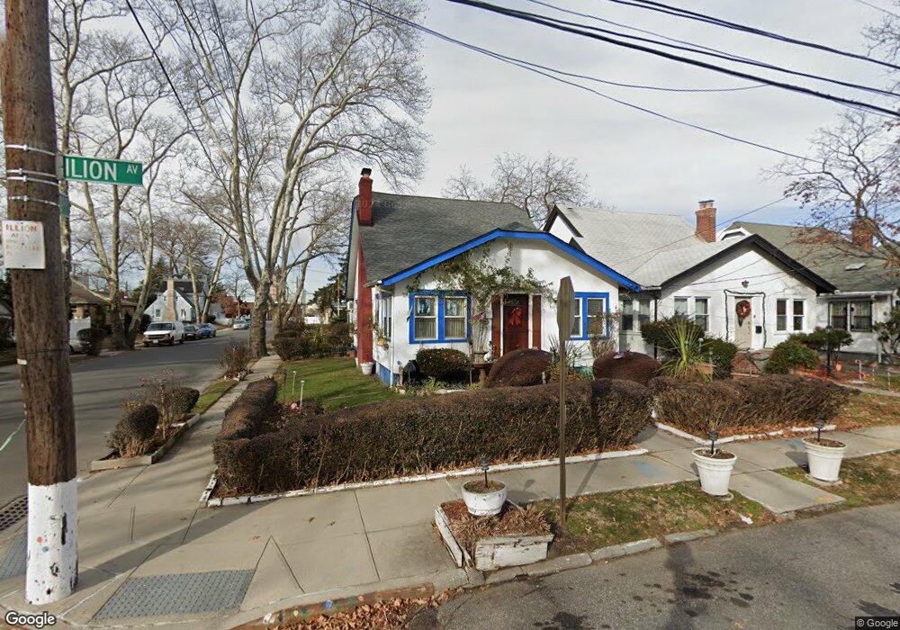
18601 Ilion Ave Saint Albans, NY 11412
Hollis NeighborhoodEstimated Value: $602,979 - $742,000
--
Bed
--
Bath
1,218
Sq Ft
$555/Sq Ft
Est. Value
About This Home
This home is located at 18601 Ilion Ave, Saint Albans, NY 11412 and is currently estimated at $675,995, approximately $555 per square foot. 18601 Ilion Ave is a home located in Queens County with nearby schools including P.S. 118 Lorraine Hansberry, I.S. 192 The Linden, and Riverton Street Charter School.
Ownership History
Date
Name
Owned For
Owner Type
Purchase Details
Closed on
Jul 13, 1998
Sold by
Stewart Aldorheana R
Bought by
Stewart Amrit Samuel and Stewart Osmond Claude
Current Estimated Value
Purchase Details
Closed on
Feb 3, 1994
Sold by
Stewart Rosemarie
Bought by
Stewart Aldorheana
Create a Home Valuation Report for This Property
The Home Valuation Report is an in-depth analysis detailing your home's value as well as a comparison with similar homes in the area
Home Values in the Area
Average Home Value in this Area
Purchase History
| Date | Buyer | Sale Price | Title Company |
|---|---|---|---|
| Stewart Amrit Samuel | -- | Commonwealth Land Title Ins | |
| Stewart Amrit Samuel | -- | Commonwealth Land Title Ins | |
| Stewart Aldorheana | -- | American Title Insurance Co | |
| Stewart Aldorheana | -- | American Title Insurance Co |
Source: Public Records
Tax History Compared to Growth
Tax History
| Year | Tax Paid | Tax Assessment Tax Assessment Total Assessment is a certain percentage of the fair market value that is determined by local assessors to be the total taxable value of land and additions on the property. | Land | Improvement |
|---|---|---|---|---|
| 2025 | $5,284 | $27,708 | $8,490 | $19,218 |
| 2024 | $5,296 | $27,708 | $7,979 | $19,729 |
| 2023 | $5,241 | $27,494 | $7,929 | $19,565 |
| 2022 | $4,891 | $35,100 | $12,060 | $23,040 |
| 2021 | $4,854 | $29,100 | $12,060 | $17,040 |
| 2020 | $4,591 | $26,880 | $12,060 | $14,820 |
| 2019 | $4,537 | $29,100 | $12,060 | $17,040 |
| 2018 | $4,373 | $22,912 | $11,343 | $11,569 |
| 2017 | $4,107 | $21,616 | $10,862 | $10,754 |
| 2016 | $3,767 | $21,616 | $10,862 | $10,754 |
| 2015 | $2,240 | $19,242 | $12,809 | $6,433 |
| 2014 | $2,240 | $19,242 | $10,891 | $8,351 |
Source: Public Records
Map
Nearby Homes
- 183-34 Fonda Ave
- 186-16 Hilburn Ave
- 183-29 Brinkerhoff Ave
- 11176 180th St
- 183-12 Elmira Ave
- 188-07 Mangin Ave
- 18823 Mangin Ave
- 188-25 Mangin Ave
- 187-44 Jordan Ave
- 183-09 Dunlop Ave
- 18833 Keeseville Ave
- 179-07 Murdock Ave
- 188-31 Jordan Ave
- 111-54 178th Place
- 112- 2 178th St
- 187-23 Brinkerhoff Ave
- 183-67 Dunlop Ave
- 111-06 Farmers Blvd
- 112-13 178th St
- 17709 112th Ave
- 186-05 Ilion Ave
- 18605 Ilion Ave
- 18609 Ilion Ave
- 18531 Ilion Ave
- 185-31 Ilion Ave
- 18502 Hilburn Ave
- 18508 Hilburn Ave
- 185-27 Ilion Ave
- 18527 Ilion Ave
- 18615 Ilion Ave
- 18615 Ilion Ave
- 185-02 Hilburn Ave
- 184-22 Hilburn Ave
- 18422 Hilburn Ave
- 18512 Hilburn Ave
- 18525 Ilion Ave
- 18602 Ilion Ave
- 18606 Ilion Ave
- 18418 Hilburn Ave
- 186-19 Ilion Ave