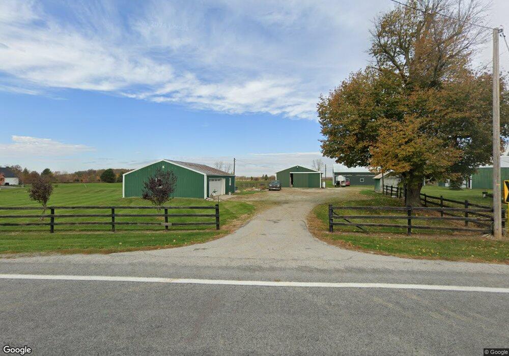
18603 State Route 67 Wapakoneta, OH 45895
Estimated Value: $283,000
4
Beds
2
Baths
1,667
Sq Ft
$170/Sq Ft
Est. Value
About This Home
This home is located at 18603 State Route 67, Wapakoneta, OH 45895 and is currently estimated at $283,000, approximately $169 per square foot. 18603 State Route 67 is a home located in Auglaize County with nearby schools including Wapakoneta Elementary School, Wapakoneta High School, and Wapakoneta Middle School.
Ownership History
Date
Name
Owned For
Owner Type
Purchase Details
Closed on
Jul 17, 2018
Sold by
Knoch Mark and Knoch Karen
Bought by
Shellenbarger Codi K
Current Estimated Value
Purchase Details
Closed on
Oct 24, 2017
Sold by
Knoch Mark and Knoch Karen
Bought by
Knoch Mark and Knoch Karen
Purchase Details
Closed on
Jun 17, 2009
Sold by
Knoch Mark and Knoch Karen
Bought by
Knoch Clay and Knoch Mark
Purchase Details
Closed on
Nov 30, 2004
Sold by
Knoch Clay
Bought by
Knoch Clay
Create a Home Valuation Report for This Property
The Home Valuation Report is an in-depth analysis detailing your home's value as well as a comparison with similar homes in the area
Home Values in the Area
Average Home Value in this Area
Purchase History
| Date | Buyer | Sale Price | Title Company |
|---|---|---|---|
| Shellenbarger Codi K | $15,000 | None Available | |
| Knoch Mark | -- | Attorney | |
| Knoch Clay | -- | Attorney | |
| Knoch Mark | -- | Attorney | |
| Knoch Clay | -- | -- |
Source: Public Records
Tax History Compared to Growth
Tax History
| Year | Tax Paid | Tax Assessment Tax Assessment Total Assessment is a certain percentage of the fair market value that is determined by local assessors to be the total taxable value of land and additions on the property. | Land | Improvement |
|---|---|---|---|---|
| 2024 | $3,182 | $76,110 | $30,440 | $45,670 |
| 2023 | $2,170 | $76,110 | $30,440 | $45,670 |
| 2022 | $1,766 | $57,630 | $21,150 | $36,480 |
| 2021 | $1,303 | $45,840 | $21,150 | $24,690 |
| 2020 | $664 | $45,840 | $21,147 | $24,693 |
| 2019 | $1,494 | $45,840 | $21,147 | $24,693 |
| 2018 | $1,437 | $45,840 | $21,147 | $24,693 |
| 2017 | $1,598 | $56,088 | $31,395 | $24,693 |
| 2016 | $1,657 | $48,777 | $26,667 | $22,110 |
| 2015 | $1,342 | $48,777 | $26,667 | $22,110 |
| 2014 | $1,605 | $48,777 | $26,667 | $22,110 |
| 2013 | $1,668 | $42,179 | $20,069 | $22,110 |
Source: Public Records
Map
Nearby Homes
- 0 Ohio 67
- 37 N Main St
- 17 E Walnut St
- 20630 State Route 67
- 17092 Hauss Rd
- 17946 National Rd
- 212 S Oak St
- 22275 Buckland Holden Rd
- 5290 New Haven Dr
- 1805 Huntington Dr
- 1835 Huntington Dr
- 310 W Main St
- 0 Wapakoneta Cridersville Rd
- 116 N Wagner Ave
- 0 Ohio 67
- 911 Bellefontaine St
- 109 Bluegrass Dr
- 409 S Pine St
- 9 E Silver St
- 201 E Pearl St
- 17133 Tecumseh Dr W
- 18551 State Route 67
- 17125 Tecumseh Dr W
- 17139 Tecumseh Dr W
- 18651 State Route 67
- 17129 Arrowhead Dr
- 17169 Tecumseh Dr W
- 17109 Tecumseh Dr W
- 17172 Tecumseh Dr E
- 18507 State Route 67
- 17132 Arrowhead Dr
- 17191 Arrowhead Dr
- 17101 Tecumseh Dr W
- 17187 Tecumseh Dr E
- 17105 Tecumseh Dr W
- 18717 State Route 67
- 17133 Tecumseh Dr E
- 17203 Tecumseh Dr E