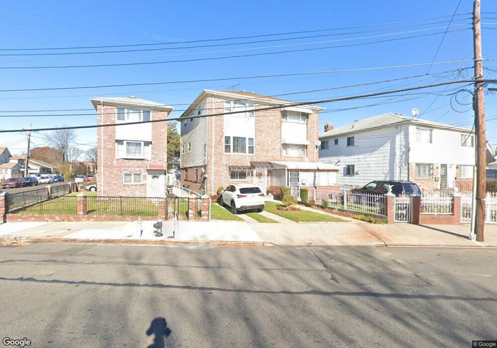
18605 Liberty Ave Saint Albans, NY 11412
Hollis NeighborhoodEstimated Value: $702,276 - $789,000
--
Bed
--
Bath
1,785
Sq Ft
$410/Sq Ft
Est. Value
About This Home
This home is located at 18605 Liberty Ave, Saint Albans, NY 11412 and is currently estimated at $732,569, approximately $410 per square foot. 18605 Liberty Ave is a home located in Queens County with nearby schools including P.S. 118 Lorraine Hansberry and I.S. 192 The Linden.
Ownership History
Date
Name
Owned For
Owner Type
Purchase Details
Closed on
Dec 10, 2003
Sold by
Robinson
Bought by
Thompson Sonia
Current Estimated Value
Home Financials for this Owner
Home Financials are based on the most recent Mortgage that was taken out on this home.
Original Mortgage
$239,200
Interest Rate
5.6%
Mortgage Type
Purchase Money Mortgage
Create a Home Valuation Report for This Property
The Home Valuation Report is an in-depth analysis detailing your home's value as well as a comparison with similar homes in the area
Home Values in the Area
Average Home Value in this Area
Purchase History
| Date | Buyer | Sale Price | Title Company |
|---|---|---|---|
| Thompson Sonia | $299,000 | -- |
Source: Public Records
Mortgage History
| Date | Status | Borrower | Loan Amount |
|---|---|---|---|
| Previous Owner | Thompson Sonia | $239,200 | |
| Closed | Thompson Sonia | $14,950 |
Source: Public Records
Tax History Compared to Growth
Tax History
| Year | Tax Paid | Tax Assessment Tax Assessment Total Assessment is a certain percentage of the fair market value that is determined by local assessors to be the total taxable value of land and additions on the property. | Land | Improvement |
|---|---|---|---|---|
| 2025 | $4,855 | $27,108 | $6,273 | $20,835 |
| 2024 | $4,867 | $25,574 | $7,088 | $18,486 |
| 2023 | $4,795 | $25,276 | $7,703 | $17,573 |
| 2022 | $4,473 | $40,800 | $11,940 | $28,860 |
| 2021 | $4,722 | $34,920 | $11,940 | $22,980 |
| 2020 | $4,486 | $34,500 | $11,940 | $22,560 |
| 2019 | $4,165 | $32,880 | $11,940 | $20,940 |
| 2018 | $3,996 | $21,063 | $8,155 | $12,908 |
| 2017 | $3,751 | $19,872 | $9,029 | $10,843 |
| 2016 | $3,663 | $19,872 | $9,029 | $10,843 |
| 2015 | $2,041 | $18,825 | $11,719 | $7,106 |
| 2014 | $2,041 | $17,760 | $13,260 | $4,500 |
Source: Public Records
Map
Nearby Homes
- 183-67 Dunlop Ave
- 104-11 188th St
- 187-23 Brinkerhoff Ave
- 102-35 187th St
- 102-13 183rd Place
- 183-09 Dunlop Ave
- 10211 187th St
- 185-05 Henderson Ave
- 184-15 Henderson Ave
- 10220 189th St
- 183-29 Brinkerhoff Ave
- 10533 Farmers Blvd
- 183-12 Elmira Ave
- 19027 109th Rd
- 190-30 103rd Ave
- 183-34 Fonda Ave
- 10532 192nd St
- 186-16 Hilburn Ave
- 188-31 Jordan Ave
- 111-06 Farmers Blvd
- 18607 Liberty Ave
- 18601 Liberty Ave
- 18609 Liberty Ave
- 10435 186th St
- 18611 Liberty Ave
- 10433 186th St
- 10431 186th St
- 18617 Liberty Ave
- 185-19 Liberty Ave Unit 1
- 10429 186th St
- 18519 Liberty Ave
- 18392 Camden Ave
- 10425 186th St
- 185-15 Liberty Ave Unit 1
- 183-92 Camden Ave
- 10436 187th St
- 183-88 Camden Ave
- 18515 Liberty Ave
- 18388 Camden Ave
- 10432 187th St