1861 Branch Rd Bishop, GA 30621
Estimated Value: $556,000 - $1,254,000
2
Beds
2
Baths
2,636
Sq Ft
$333/Sq Ft
Est. Value
About This Home
This home is located at 1861 Branch Rd, Bishop, GA 30621 and is currently estimated at $877,781, approximately $332 per square foot. 1861 Branch Rd is a home with nearby schools including High Shoals Elementary School, Oconee County Middle School, and Oconee County High School.
Ownership History
Date
Name
Owned For
Owner Type
Purchase Details
Closed on
Nov 8, 2023
Sold by
Murrow Jonathan R
Bought by
Murrow Family Trust and Murrow Jonathan Richard Tr
Current Estimated Value
Purchase Details
Closed on
Dec 30, 2008
Sold by
Fine Robert B
Bought by
Murrow Jonathan R and Murrow Laurel B
Home Financials for this Owner
Home Financials are based on the most recent Mortgage that was taken out on this home.
Original Mortgage
$630,000
Interest Rate
5.48%
Mortgage Type
New Conventional
Create a Home Valuation Report for This Property
The Home Valuation Report is an in-depth analysis detailing your home's value as well as a comparison with similar homes in the area
Home Values in the Area
Average Home Value in this Area
Purchase History
| Date | Buyer | Sale Price | Title Company |
|---|---|---|---|
| Murrow Family Trust | -- | -- | |
| Murrow Jonathan R | $545,000 | -- |
Source: Public Records
Mortgage History
| Date | Status | Borrower | Loan Amount |
|---|---|---|---|
| Previous Owner | Murrow Jonathan R | $630,000 |
Source: Public Records
Tax History Compared to Growth
Tax History
| Year | Tax Paid | Tax Assessment Tax Assessment Total Assessment is a certain percentage of the fair market value that is determined by local assessors to be the total taxable value of land and additions on the property. | Land | Improvement |
|---|---|---|---|---|
| 2024 | $2,869 | $306,577 | $184,808 | $121,769 |
| 2023 | $2,705 | $278,782 | $163,550 | $115,232 |
| 2022 | $2,539 | $241,650 | $142,218 | $99,432 |
| 2021 | $2,472 | $213,297 | $123,666 | $89,631 |
| 2020 | $2,347 | $202,533 | $117,777 | $84,756 |
| 2019 | $2,242 | $198,188 | $117,777 | $80,411 |
| 2018 | $1,720 | $194,767 | $128,987 | $65,780 |
| 2017 | $1,542 | $174,957 | $116,500 | $58,457 |
| 2016 | $1,506 | $173,620 | $116,500 | $57,120 |
| 2015 | $1,489 | $172,959 | $116,500 | $56,459 |
| 2014 | $1,455 | $150,874 | $97,084 | $53,790 |
| 2013 | -- | $133,982 | $109,699 | $24,282 |
Source: Public Records
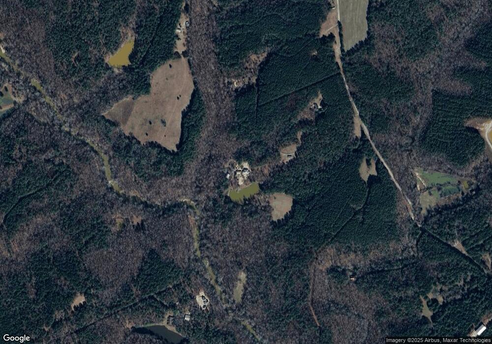
Map
Nearby Homes
- 1081 Rehoboth Rd
- 0 Freeman Creek Rd Unit 10595497
- 3521 Macon Hwy
- 1825 Andora Ct
- 3471 Macon Hwy
- 7 & 18 S Main St
- 2041 & 2051 Simonton Bridge Rd
- 1550 Salem Rd
- 0 Veterans Memorial Pkwy Unit CL344180
- 0 Veterans Memorial Pkwy Unit 10647322
- 2180 Veterans Memorial Pkwy
- 1070 Riverwalk Point
- 1321 Cemetery Rd
- 1713 Townside Dr
- 1670 Price Mill Rd
- 00 Old Bishop Rd
- 0 Old Bishop Rd Unit 10608387
- 1150 Glen Ln
- 1190 Old Bishop Rd
- 6534 Whitlow Creek Dr
- 1961 Branch Rd
- 1891 Branch Rd
- 1491b Branch Rd
- 1491a Branch Rd
- 2871 Wagnon Mill Rd
- 2871 Wagnon Mill Rd
- 2311 Branch Rd
- 1601 Branch Rd
- 2031 Branch Rd
- 1620 Branch Rd
- 1650 Branch Rd
- 2763 Price Mill Rd
- 2111 Branch Rd
- 1610 Branch Rd
- 1550 Branch Rd
- 1530 Branch Rd
- 1511 Branch Rd
- 4150 Price Mill Rd
- 1511 Branch Rd
- 2785 Price Mill Rd