1861 Defoor Rd Unit 12 Toccoa, GA 30577
Estimated Value: $99,000 - $206,000
3
Beds
2
Baths
--
Sq Ft
1.31
Acres
About This Home
This home is located at 1861 Defoor Rd Unit 12, Toccoa, GA 30577 and is currently estimated at $162,667. 1861 Defoor Rd Unit 12 is a home located in Stephens County with nearby schools including Stephens County High School.
Ownership History
Date
Name
Owned For
Owner Type
Purchase Details
Closed on
Dec 4, 2015
Sold by
South State Bank
Bought by
Cash Doug
Current Estimated Value
Purchase Details
Closed on
Sep 1, 2015
Sold by
Jones Jason
Bought by
South State Bank
Purchase Details
Closed on
Jan 8, 2008
Sold by
Not Provided
Bought by
Jones Jason and Jones Wendy
Home Financials for this Owner
Home Financials are based on the most recent Mortgage that was taken out on this home.
Original Mortgage
$31,347
Interest Rate
6.06%
Mortgage Type
New Conventional
Purchase Details
Closed on
Mar 2, 2005
Sold by
Lowe Jerry
Bought by
Short Pines Inc
Purchase Details
Closed on
Nov 1, 1997
Bought by
<Buyer Info Not Present>
Create a Home Valuation Report for This Property
The Home Valuation Report is an in-depth analysis detailing your home's value as well as a comparison with similar homes in the area
Home Values in the Area
Average Home Value in this Area
Purchase History
| Date | Buyer | Sale Price | Title Company |
|---|---|---|---|
| Cash Doug | $16,000 | -- | |
| South State Bank | -- | -- | |
| Jones Jason | $30,000 | -- | |
| Jones Jason | $30,000 | -- | |
| Short Pines Inc | -- | -- | |
| Lowe Jerry | $19,656 | -- | |
| <Buyer Info Not Present> | $85,900 | -- |
Source: Public Records
Mortgage History
| Date | Status | Borrower | Loan Amount |
|---|---|---|---|
| Previous Owner | Jones Jason | $31,347 |
Source: Public Records
Tax History Compared to Growth
Tax History
| Year | Tax Paid | Tax Assessment Tax Assessment Total Assessment is a certain percentage of the fair market value that is determined by local assessors to be the total taxable value of land and additions on the property. | Land | Improvement |
|---|---|---|---|---|
| 2025 | $97 | $3,526 | $2,526 | $1,000 |
| 2024 | $77 | $2,526 | $2,526 | $0 |
| 2023 | $77 | $2,526 | $2,526 | $0 |
| 2022 | $75 | $2,526 | $2,526 | $0 |
| 2021 | $79 | $2,526 | $2,526 | $0 |
| 2020 | $80 | $2,526 | $2,526 | $0 |
| 2019 | $80 | $2,526 | $2,526 | $0 |
| 2018 | $80 | $2,526 | $2,526 | $0 |
| 2017 | $81 | $2,526 | $2,526 | $0 |
| 2016 | $80 | $2,526 | $2,526 | $0 |
Source: Public Records
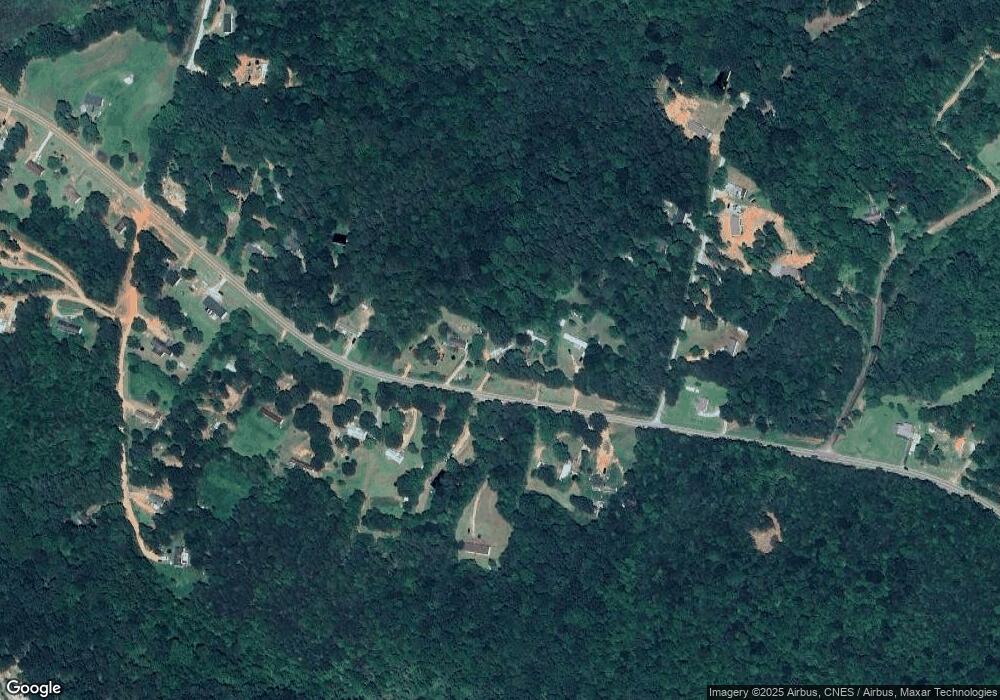
Map
Nearby Homes
- 197 Howard Rd
- 3.35 ACRES Keener Rd
- 451 Defoor Rd
- 17 Pinetree Rd
- 7 Jottings Dr
- 177 E Silver Shoals Rd
- 290 Indian Dr
- 672 Crawford Cir
- 46 Cedar Ridge Dr
- 513 S Red Rock Rd
- 56 Crawford Manor Dr
- 160 Whitworth Cir
- 219 Eastanollee Rd
- 5.10 ACRES Hwy 123
- Lot 21 Deer Chase
- 535 Deer Chase
- 303 Oak Way Dr
- 114 Aaron Dr
- 836 Swilling Rd
- 271 Oak Way Dr
- 1861 Defoor Rd
- 1919 Defoor Rd
- 1922 Defoor Rd
- 1862 Defoor Rd
- 1824 Defoor Rd
- 1804 Defoor Rd
- 121 Howard Rd
- 1767 Defoor Rd
- 2013 Defoor Rd
- 1902 Defoor Rd
- 140 Howard Rd
- 1776 Defoor Rd
- 40 Howard Rd
- 1737 Defoor Rd
- 1756 Defoor Rd
- 1736 Defoor Rd
- 1699 Defoor Rd
- 1708 Defoor Rd
- 0 Howard Rd Unit 7551868
- 0 Howard Rd Unit 7552808