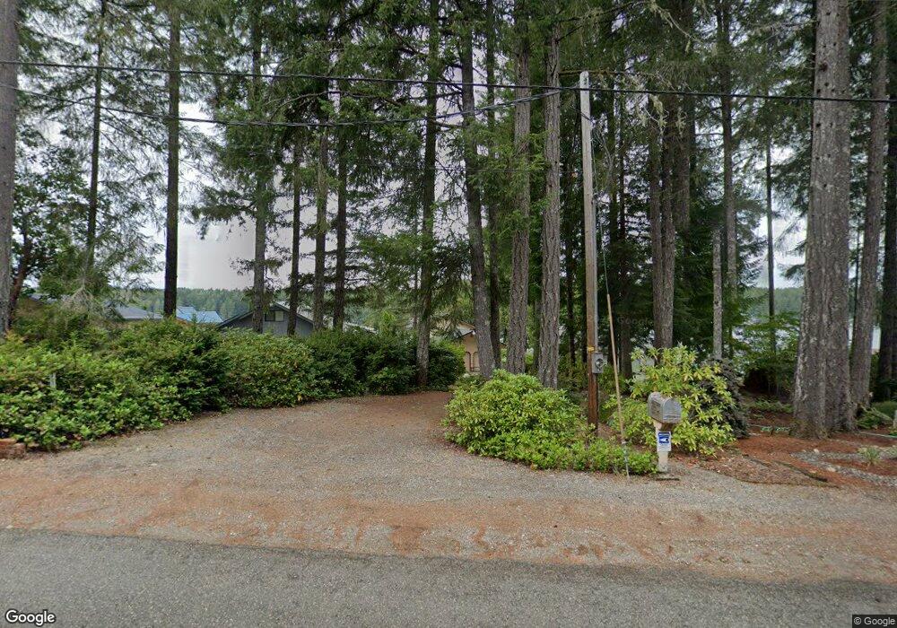
1861 E Mason Lake Dr E Grapeview, WA 98546
Estimated Value: $824,013 - $1,036,000
3
Beds
2
Baths
1,232
Sq Ft
$780/Sq Ft
Est. Value
About This Home
This home is located at 1861 E Mason Lake Dr E, Grapeview, WA 98546 and is currently estimated at $960,753, approximately $779 per square foot. 1861 E Mason Lake Dr E is a home located in Mason County with nearby schools including Grapeview Elementary/Middle School.
Ownership History
Date
Name
Owned For
Owner Type
Purchase Details
Closed on
Jan 15, 2008
Sold by
Biggs Alan B and Biggs Howard D
Bought by
Biggs Roger J
Current Estimated Value
Home Financials for this Owner
Home Financials are based on the most recent Mortgage that was taken out on this home.
Original Mortgage
$200,000
Interest Rate
6.09%
Mortgage Type
New Conventional
Create a Home Valuation Report for This Property
The Home Valuation Report is an in-depth analysis detailing your home's value as well as a comparison with similar homes in the area
Purchase History
| Date | Buyer | Sale Price | Title Company |
|---|---|---|---|
| Biggs Roger J | $380,000 | Mason County Title Insurance |
Source: Public Records
Mortgage History
| Date | Status | Borrower | Loan Amount |
|---|---|---|---|
| Previous Owner | Biggs Roger J | $200,000 |
Source: Public Records
Tax History Compared to Growth
Tax History
| Year | Tax Paid | Tax Assessment Tax Assessment Total Assessment is a certain percentage of the fair market value that is determined by local assessors to be the total taxable value of land and additions on the property. | Land | Improvement |
|---|---|---|---|---|
| 2025 | $5,280 | $768,515 | $283,310 | $485,205 |
| 2023 | $5,280 | $644,885 | $269,815 | $375,070 |
| 2022 | $4,938 | $563,570 | $235,605 | $327,965 |
| 2021 | $4,667 | $563,570 | $235,605 | $327,965 |
| 2020 | $4,198 | $498,900 | $270,810 | $228,090 |
| 2018 | $4,048 | $347,105 | $206,975 | $140,130 |
| 2017 | $3,690 | $347,195 | $207,065 | $140,130 |
| 2016 | $4,075 | $329,570 | $193,520 | $136,050 |
| 2015 | $4,119 | $362,460 | $226,800 | $135,660 |
| 2014 | -- | $362,460 | $226,800 | $135,660 |
| 2013 | -- | $362,460 | $226,800 | $135,660 |
Source: Public Records
Map
Nearby Homes
- 200 E Roos Ct
- 0 TR 3 E Mason Lake Rd
- 0 TR 4 E Mason Lake Rd
- 2980 E Mason Lake Dr E
- 350 E Olympic Dr
- 151 E Kingsley Place
- 40 E Seahawks Way
- 0 E Twanoh Heights Rd N Unit NWM2454609
- 110 E Canyon View Rd
- 61 E Woods Place
- 14103 E State Route 106
- 14160 Washington 106
- 14341 Washington 106
- 1 Lot Rasor (& E Trails End) Rd
- 2 Lot E Rasor (& E Trails End) Rd
- 550 E Trails End Dr
- 70 E Windy Ridge Ln
- 430 Twilight Way
- 100 E Leffler Ln
- 200 E Windstar Rd
- 1851 E Mason Lake Dr E
- 1871 E Mason Lake Dr E
- 1841 E Mason Lake Dr E
- 1881 E Mason Lake Dr E
- 1831 E Mason Lake Dr E
- 1911 E Mason Lake Dr E
- 1821 E Mason Lake Dr E
- 1913 E Mason Lake Dr E
- 1921 E Mason Lake Dr E
- 1920 E Mason Lake Dr E
- 1931 E Mason Lake Dr E
- 1791 E Mason Lake Dr E
- 1771 E Mason Lake Dr E
- 1790 E Mason Lake Dr E
- 1961 E Mason Lake Dr E
- 1930 E Mason Lake Dr E
- 1951 E Mason Lake Dr E
- 1761 E Mason Lake Dr E
- 1760 E Mason Lake Dr E
- 1751 E Mason Lake Dr E
