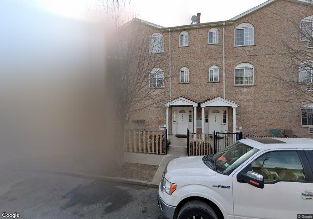
1861 Paulding Ave Bronx, NY 10462
Morris Park NeighborhoodEstimated Value: $1,052,000 - $1,186,000
Studio
--
Bath
3,456
Sq Ft
$318/Sq Ft
Est. Value
About This Home
This home is located at 1861 Paulding Ave, Bronx, NY 10462 and is currently estimated at $1,100,333, approximately $318 per square foot. 1861 Paulding Ave is a home located in Bronx County with nearby schools including P.S. 083 The Donald Hertz School, Emblaze Academy Charter School, and St. Clare of Assisi School.
Ownership History
Date
Name
Owned For
Owner Type
Purchase Details
Closed on
Dec 31, 1999
Sold by
Paul Lander Inc
Bought by
Julevic Bajram
Current Estimated Value
Home Financials for this Owner
Home Financials are based on the most recent Mortgage that was taken out on this home.
Original Mortgage
$357,600
Interest Rate
8.31%
Create a Home Valuation Report for This Property
The Home Valuation Report is an in-depth analysis detailing your home's value as well as a comparison with similar homes in the area
Home Values in the Area
Average Home Value in this Area
Purchase History
| Date | Buyer | Sale Price | Title Company |
|---|---|---|---|
| Julevic Bajram | $447,000 | The Judicial Title Ins Agenc |
Source: Public Records
Mortgage History
| Date | Status | Borrower | Loan Amount |
|---|---|---|---|
| Previous Owner | Julevic Bajram | $357,600 |
Source: Public Records
Tax History
| Year | Tax Paid | Tax Assessment Tax Assessment Total Assessment is a certain percentage of the fair market value that is determined by local assessors to be the total taxable value of land and additions on the property. | Land | Improvement |
|---|---|---|---|---|
| 2025 | $9,025 | $45,274 | $8,063 | $37,211 |
| 2024 | $9,025 | $44,933 | $7,348 | $37,585 |
| 2023 | $8,609 | $42,390 | $7,667 | $34,723 |
| 2022 | $7,983 | $56,340 | $10,440 | $45,900 |
| 2021 | $7,940 | $49,800 | $10,440 | $39,360 |
| 2020 | $7,986 | $52,560 | $10,440 | $42,120 |
| 2019 | $7,833 | $45,000 | $10,440 | $34,560 |
| 2018 | $7,201 | $35,325 | $8,273 | $27,052 |
| 2017 | $6,794 | $33,326 | $9,429 | $23,897 |
| 2016 | $6,285 | $31,440 | $10,440 | $21,000 |
| 2015 | $4,563 | $33,600 | $11,580 | $22,020 |
| 2014 | $4,563 | $33,517 | $11,551 | $21,966 |
Source: Public Records
Map
Nearby Homes
- 1831 Paulding Ave
- 1833 Hone Ave
- 1850 Hone Ave
- 953 Rhinelander Ave
- 928 Rhinelander Ave
- 1917 Haight Ave
- 1912 Haight Ave
- 930 Morris Park Ave
- 2004 Bogart Ave
- 1059 Neill Ave
- 1116 Rhinelander Ave
- 1942 Haight Ave
- 2019 Colden Ave
- 1100 Neill Ave
- 2037 Radcliff Ave
- - Morris Park Ave
- 1818 Tomlinson Ave
- 1863 Williamsbridge Rd
- 1054 Lydig Ave
- 868 Morris Park Ave
- 1863 Paulding Ave
- 1859 Paulding Ave
- 1010 Rhinelander Ave
- 1857 Paulding Ave
- 1008 Rhinelander Ave
- 1024 Rhinelander Ave
- 1855 Paulding Ave
- 1006 Rhinelander Ave
- 1853 Paulding Ave
- 1026 Rhinelander Ave
- 1026 Rhinelander Ave Unit 3-F
- 1026 Rhinelander Ave Unit 2
- 1026 Rhinelander Ave Unit 1-F
- 1858 Paulding Ave
- 1860 Colden Ave
- 1856 Paulding Ave
- 1851 Paulding Ave
- 1028 Rhinelander Ave
- 1858 Colden Ave
- 1854 Paulding Ave
Your Personal Tour Guide
Ask me questions while you tour the home.