1861 Peavine Rd Rock Spring, GA 30739
Rock Spring NeighborhoodEstimated Value: $143,000 - $220,000
--
Bed
1
Bath
1,680
Sq Ft
$114/Sq Ft
Est. Value
About This Home
This home is located at 1861 Peavine Rd, Rock Spring, GA 30739 and is currently estimated at $192,214, approximately $114 per square foot. 1861 Peavine Rd is a home located in Walker County with nearby schools including Rock Spring Elementary School and Lafayette High School.
Ownership History
Date
Name
Owned For
Owner Type
Purchase Details
Closed on
Apr 16, 2019
Sold by
Coker Phyllis C Executor
Bought by
Coker Phyllis C and Rose Cynthia R
Current Estimated Value
Purchase Details
Closed on
Jan 1, 1972
Bought by
Coker Roy L and Coker Louise
Create a Home Valuation Report for This Property
The Home Valuation Report is an in-depth analysis detailing your home's value as well as a comparison with similar homes in the area
Home Values in the Area
Average Home Value in this Area
Purchase History
| Date | Buyer | Sale Price | Title Company |
|---|---|---|---|
| Coker Phyllis C | -- | -- | |
| Coker Phyllis C | -- | -- | |
| Coker Roy L | -- | -- |
Source: Public Records
Tax History Compared to Growth
Tax History
| Year | Tax Paid | Tax Assessment Tax Assessment Total Assessment is a certain percentage of the fair market value that is determined by local assessors to be the total taxable value of land and additions on the property. | Land | Improvement |
|---|---|---|---|---|
| 2024 | $1,841 | $81,081 | $11,821 | $69,260 |
| 2023 | $1,748 | $75,013 | $9,382 | $65,631 |
| 2022 | $1,608 | $64,001 | $8,147 | $55,854 |
| 2021 | $1,452 | $51,938 | $8,147 | $43,791 |
| 2020 | $1,202 | $40,747 | $8,147 | $32,600 |
| 2019 | $1,277 | $40,747 | $8,147 | $32,600 |
| 2018 | $1,078 | $40,747 | $8,147 | $32,600 |
| 2017 | $1,389 | $40,747 | $8,147 | $32,600 |
| 2016 | $164 | $40,747 | $8,147 | $32,600 |
| 2015 | $166 | $33,164 | $14,340 | $18,824 |
| 2014 | $100 | $33,164 | $14,340 | $18,824 |
| 2013 | -- | $33,164 | $14,340 | $18,824 |
Source: Public Records
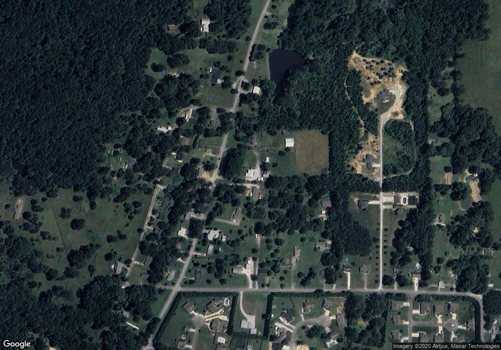
Map
Nearby Homes
- 285 Cooper Rd
- 36 Pheonix Cir
- 195 Honeysuckle Dr
- 788 Long Hollow Rd
- 294 E Long Hollow Rd
- 1121 Arnold Rd
- 183 Long Hollow Rd
- 1476 Arnold Rd
- 1902 Long Hollow Rd
- 87 Peavine Rd
- 453 Harvest Ln
- 186 Henry Dr
- 100 Deer Ridge Ln
- 103 Deer Ridge Ln
- 200 Hunting Ridge Cir
- 379 N Beaumont Rd
- 140 Fieldstone Commons
- 54 Cedar Farm Ln
- 124 Fieldstone Commons
- 5602 Georgia 95
- 1877 Peavine Rd
- 1829 Peavine Rd
- 1913 Peavine Rd
- 1826 Peavine Rd
- 1862 Peavine Rd
- 1884 Peavine Rd
- 7 Dogwood Cir
- 1908 Peavine Rd
- 0 Dogwood Cir Unit 935173
- 0 Dogwood Cir Unit 1125867
- 0 Dogwood Cir Unit 8404416
- 97 Dogwood Cir
- 75 Dogwood Cir
- 113 Dogwood Cir
- 1921 Peavine Rd
- 1916 Peavine Rd
- 29 Dogwood Cir
- 125 Dogwood Cir
- 1759 Peavine Rd
- 1938 Peavine Rd