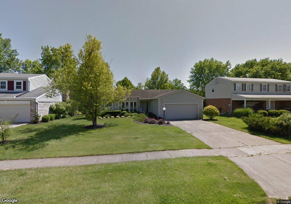
1861 Poplar Dr Loveland, OH 45140
Estimated Value: $377,653 - $419,000
3
Beds
2
Baths
1,729
Sq Ft
$229/Sq Ft
Est. Value
About This Home
This home is located at 1861 Poplar Dr, Loveland, OH 45140 and is currently estimated at $395,663, approximately $228 per square foot. 1861 Poplar Dr is a home located in Hamilton County with nearby schools including Loveland Intermediate School, Loveland Elementary School, and Loveland Primary School.
Ownership History
Date
Name
Owned For
Owner Type
Purchase Details
Closed on
Nov 8, 1995
Sold by
Barfels Wayne and Barfels Ann C
Bought by
Luttrell Deborah G
Current Estimated Value
Home Financials for this Owner
Home Financials are based on the most recent Mortgage that was taken out on this home.
Original Mortgage
$82,250
Interest Rate
7.65%
Create a Home Valuation Report for This Property
The Home Valuation Report is an in-depth analysis detailing your home's value as well as a comparison with similar homes in the area
Home Values in the Area
Average Home Value in this Area
Purchase History
| Date | Buyer | Sale Price | Title Company |
|---|---|---|---|
| Luttrell Deborah G | -- | -- |
Source: Public Records
Mortgage History
| Date | Status | Borrower | Loan Amount |
|---|---|---|---|
| Closed | Luttrell Deborah G | $82,250 |
Source: Public Records
Tax History Compared to Growth
Tax History
| Year | Tax Paid | Tax Assessment Tax Assessment Total Assessment is a certain percentage of the fair market value that is determined by local assessors to be the total taxable value of land and additions on the property. | Land | Improvement |
|---|---|---|---|---|
| 2024 | $5,155 | $107,881 | $18,816 | $89,065 |
| 2023 | $5,345 | $107,881 | $18,816 | $89,065 |
| 2022 | $4,009 | $74,393 | $15,411 | $58,982 |
| 2021 | $4,087 | $74,393 | $15,411 | $58,982 |
| 2020 | $4,087 | $74,393 | $15,411 | $58,982 |
| 2019 | $3,648 | $63,582 | $13,171 | $50,411 |
| 2018 | $3,670 | $63,582 | $13,171 | $50,411 |
| 2017 | $3,473 | $63,582 | $13,171 | $50,411 |
| 2016 | $3,015 | $54,474 | $12,229 | $42,245 |
| 2015 | $3,057 | $54,474 | $12,229 | $42,245 |
| 2014 | $3,131 | $54,474 | $12,229 | $42,245 |
| 2013 | $2,740 | $52,381 | $11,760 | $40,621 |
Source: Public Records
Map
Nearby Homes
- 1864 W Loveland Ave
- 142 Lakeview Ct
- 131 Lakeview Ct
- 124 Pheasantlake Dr
- 247 Sinclair Ct
- 1886 Lindenhall Dr
- 160 Lexington Dr
- 1873 Heidelberg Dr
- 796 Oak Canyon Dr
- 9330 Greenhedge Ln
- 3021 Stratford Ct
- 882 Quailwoods Dr
- 5022 Bristol Ct Unit 207
- 3026 Stratford Ct
- 3015 Stratford Ct Unit 126
- 196 Shoemaker Dr
- 5037 Bristol Ct Unit 213
- 4031 White Chapel Ln
- 3016 Stratford Ct
- 185 Dogwood Dr
- 1855 Poplar Dr
- 1867 Poplar Dr
- 1873 Poplar Dr
- 1849 Poplar Dr
- 130 Albright Dr
- 1901 Poplar Dr
- 1880 W Loveland Ave
- 1854 Poplar Dr
- 1843 Poplar Dr
- 1848 Poplar Dr
- 1856 W Loveland Ave
- 1888 W Loveland Ave
- 1907 Poplar Dr
- 1842 Poplar Dr
- 131 Albright Dr
- 1837 Poplar Dr
- 136 Albright Dr
- 1894 W Loveland Ave
- 1836 Poplar Dr
- 1913 Poplar Dr