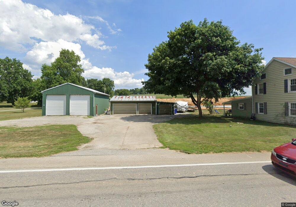
1861 Route 116 Spring Grove, PA 17362
Estimated Value: $235,000 - $262,271
2
Beds
2
Baths
1,534
Sq Ft
$166/Sq Ft
Est. Value
About This Home
This home is located at 1861 Route 116, Spring Grove, PA 17362 and is currently estimated at $254,318, approximately $165 per square foot. 1861 Route 116 is a home located in York County with nearby schools including Spring Grove Area Middle School, Spring Grove Area High School, and St Rose Of Lima School.
Ownership History
Date
Name
Owned For
Owner Type
Purchase Details
Closed on
Apr 30, 2013
Sold by
Laughman Thomas J
Bought by
Marks Nathan P and Marks Tracey L
Current Estimated Value
Home Financials for this Owner
Home Financials are based on the most recent Mortgage that was taken out on this home.
Original Mortgage
$68,000
Outstanding Balance
$48,444
Interest Rate
3.6%
Mortgage Type
New Conventional
Estimated Equity
$205,874
Purchase Details
Closed on
Feb 1, 1989
Bought by
Laughman Thomas J
Create a Home Valuation Report for This Property
The Home Valuation Report is an in-depth analysis detailing your home's value as well as a comparison with similar homes in the area
Home Values in the Area
Average Home Value in this Area
Purchase History
| Date | Buyer | Sale Price | Title Company |
|---|---|---|---|
| Marks Nathan P | $85,000 | None Available | |
| Laughman Thomas J | $69,900 | -- |
Source: Public Records
Mortgage History
| Date | Status | Borrower | Loan Amount |
|---|---|---|---|
| Open | Marks Nathan P | $68,000 |
Source: Public Records
Tax History Compared to Growth
Tax History
| Year | Tax Paid | Tax Assessment Tax Assessment Total Assessment is a certain percentage of the fair market value that is determined by local assessors to be the total taxable value of land and additions on the property. | Land | Improvement |
|---|---|---|---|---|
| 2025 | $4,164 | $125,590 | $37,460 | $88,130 |
| 2024 | $4,118 | $125,590 | $37,460 | $88,130 |
| 2023 | $4,118 | $125,590 | $37,460 | $88,130 |
| 2022 | $4,118 | $125,590 | $37,460 | $88,130 |
| 2021 | $3,939 | $125,590 | $37,460 | $88,130 |
| 2020 | $3,939 | $125,590 | $37,460 | $88,130 |
| 2019 | $3,854 | $125,590 | $37,460 | $88,130 |
| 2018 | $3,802 | $125,590 | $37,460 | $88,130 |
| 2017 | $3,714 | $125,590 | $37,460 | $88,130 |
| 2016 | $0 | $125,590 | $37,460 | $88,130 |
| 2015 | -- | $125,590 | $37,460 | $88,130 |
| 2014 | -- | $125,590 | $37,460 | $88,130 |
Source: Public Records
Map
Nearby Homes
- 540 Monocacy Trail
- St. Michaels Model 5 Monocacy Trail
- 544 Monocacy Trail
- 214 Hauer Terrace
- 568 Monocacy Trail
- 562 Monocacy Trail
- 560 Monocacy Trail
- 1487 Kbs Rd
- 6030 Deborah Dr
- 145 N Main St
- 156 N Walnut St
- 46 N Main St
- 335 Cape Climb
- 6132 Deborah Dr
- 1238 Knoll Dr
- 1245 Pinnacle Ct
- 160 Dolomite Dr Unit 12B
- 137 Mineral Dr Unit 30
- 304 Mesa Ln
- 1165 Ledge Dr
- 1885 Route 116
- 1839 Route 116
- 524 Monocacy Trail
- 522 Monocacy Trail
- 520 Monocacy Trail
- 526 Monocacy Trail
- 526 Monocacy Trail Unit 130
- 1825 Route 116
- 518 Monocacy Trail
- 531 Monocacy Trail
- 516 Monocacy Trail
- 528 Monocacy Trail
- 528 Monocacy Trail Unit 131
- 519 Monocacy Trail
- 1813 Route 116
- 527 Monocacy Trail Unit 192
- 515 Monocacy Trail
- 514 Monocacy Trail
- 529 Monocacy Trail Unit 191
- 529 Monocacy Trail