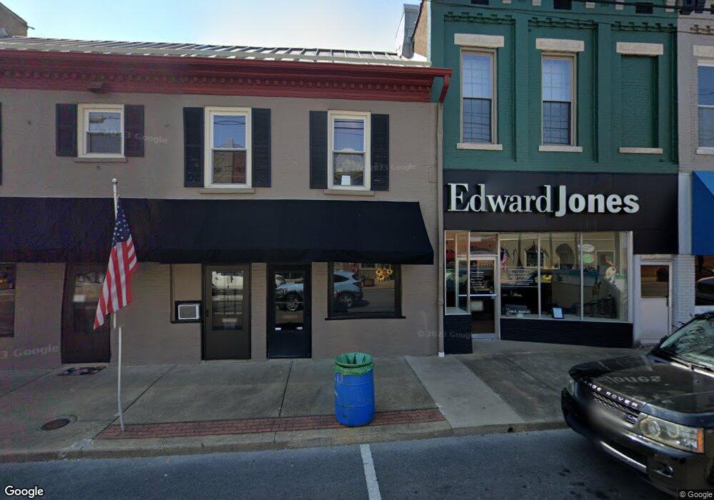
1861 State Route 2153 Morganfield, KY 42437
Estimated Value: $174,000 - $239,727
3
Beds
2
Baths
1,344
Sq Ft
$157/Sq Ft
Est. Value
About This Home
This home is located at 1861 State Route 2153, Morganfield, KY 42437 and is currently estimated at $211,182, approximately $157 per square foot. 1861 State Route 2153 is a home located in Union County with nearby schools including Union County High School.
Ownership History
Date
Name
Owned For
Owner Type
Purchase Details
Closed on
Mar 7, 2022
Sold by
Rhea Limittd Partnership
Bought by
Hargrove James Tyler and Hargrove Ashley
Current Estimated Value
Home Financials for this Owner
Home Financials are based on the most recent Mortgage that was taken out on this home.
Original Mortgage
$191,600
Outstanding Balance
$182,172
Interest Rate
2.88%
Mortgage Type
New Conventional
Estimated Equity
$29,010
Purchase Details
Closed on
Sep 24, 2021
Sold by
Hope-Hargrove Ashley
Bought by
Hope-Hargrove Ashley and Hargrove James T
Purchase Details
Closed on
Jan 31, 2019
Sold by
Rhea Kevin B
Bought by
Hargrove James T and Hargrove Ashley H
Home Financials for this Owner
Home Financials are based on the most recent Mortgage that was taken out on this home.
Original Mortgage
$131,572
Interest Rate
4.75%
Mortgage Type
FHA
Purchase Details
Closed on
Oct 21, 2016
Sold by
Hutcheson Carol Denise and Rhea Kevin B
Bought by
Rhea Kevin B
Create a Home Valuation Report for This Property
The Home Valuation Report is an in-depth analysis detailing your home's value as well as a comparison with similar homes in the area
Home Values in the Area
Average Home Value in this Area
Purchase History
| Date | Buyer | Sale Price | Title Company |
|---|---|---|---|
| Hargrove James Tyler | $10,000 | None Listed On Document | |
| Hope-Hargrove Ashley | -- | None Available | |
| Hargrove James T | $134,000 | -- | |
| Rhea Kevin B | $93,000 | None Available |
Source: Public Records
Mortgage History
| Date | Status | Borrower | Loan Amount |
|---|---|---|---|
| Open | Hargrove James Tyler | $191,600 | |
| Previous Owner | Hargrove James T | $131,572 |
Source: Public Records
Tax History Compared to Growth
Tax History
| Year | Tax Paid | Tax Assessment Tax Assessment Total Assessment is a certain percentage of the fair market value that is determined by local assessors to be the total taxable value of land and additions on the property. | Land | Improvement |
|---|---|---|---|---|
| 2024 | $1,232 | $118,496 | $3,696 | $114,800 |
| 2023 | $1,225 | $118,496 | $3,696 | $114,800 |
| 2022 | $1,080 | $102,016 | $3,696 | $98,320 |
| 2021 | $1,093 | $102,016 | $3,696 | $98,320 |
| 2020 | $1,108 | $102,016 | $3,696 | $98,320 |
| 2019 | $1,029 | $93,000 | $3,696 | $89,304 |
| 2018 | $998 | $93,000 | $3,696 | $89,304 |
| 2017 | $524 | $93,000 | $3,696 | $89,304 |
| 2016 | $524 | $93,000 | $3,696 | $89,304 |
| 2015 | -- | $93,000 | $3,696 | $89,304 |
| 2011 | -- | $96,304 | $96,304 | $0 |
Source: Public Records
Map
Nearby Homes
- 2440 Hwy 2153 Unit Morganfield
- 2440 State Route 2153
- 167 Boxville Rd
- 0 Little Zion-Tilden Rd
- 3535 State Route 2837
- 68 Nelson St
- 19 Russell St
- 539 Ben Dyer Rd
- 154 Taylor St
- 8618 State Route 132 W
- 329 W Railroad St
- 86 Taylor St
- 1581 Sr 56 E
- 00000 Village Square Rd Unit corner of Village Sq
- 222 Broady Ct
- 0 Sullivan Rd Unit LotWP001
- 1401 N Monroe St
- 301 N Padgett St
- 317 N Padgett St
- 312 E Young St
- 2153 & 215 1st St A
- SR2153 Shouse Farm
- 1725 State Route 2153
- 2226 State Route 2153
- 2050 State Route 2153
- 2158 State Route 2153
- 2322 Boxville Rd
- 2520 State Route 2153
- 1444 State Route 2153
- 2270 Boxville Rd
- 2796 State Route 2153
- 2722 State Route 2153
- 2220 Boxville Rd
- 1350 State Route 2153
- 2733 State Route 2153
- 2190 Boxville Rd
- 2173 Boxville Rd
- 2834 State Route 2153
- 1335 State Route 2153
- 1261 State Route 2153
