1861 Wesley Rd Morganton, NC 28655
Estimated Value: $289,000 - $349,561
3
Beds
2
Baths
1,469
Sq Ft
$220/Sq Ft
Est. Value
About This Home
This home is located at 1861 Wesley Rd, Morganton, NC 28655 and is currently estimated at $323,140, approximately $219 per square foot. 1861 Wesley Rd is a home located in Burke County with nearby schools including Salem Elementary School, Liberty Middle School, and Robert L. Patton High School.
Ownership History
Date
Name
Owned For
Owner Type
Purchase Details
Closed on
Jul 1, 2020
Sold by
Sisk Dana Cheryl Norman and Sisk Sonny Blake
Bought by
Whisnant Haley and Whisnant Matthew
Current Estimated Value
Home Financials for this Owner
Home Financials are based on the most recent Mortgage that was taken out on this home.
Original Mortgage
$196,969
Outstanding Balance
$174,983
Interest Rate
3.2%
Mortgage Type
New Conventional
Estimated Equity
$148,157
Create a Home Valuation Report for This Property
The Home Valuation Report is an in-depth analysis detailing your home's value as well as a comparison with similar homes in the area
Home Values in the Area
Average Home Value in this Area
Purchase History
| Date | Buyer | Sale Price | Title Company |
|---|---|---|---|
| Whisnant Haley | $195,000 | None Available |
Source: Public Records
Mortgage History
| Date | Status | Borrower | Loan Amount |
|---|---|---|---|
| Open | Whisnant Haley | $196,969 |
Source: Public Records
Tax History
| Year | Tax Paid | Tax Assessment Tax Assessment Total Assessment is a certain percentage of the fair market value that is determined by local assessors to be the total taxable value of land and additions on the property. | Land | Improvement |
|---|---|---|---|---|
| 2025 | $1,634 | $235,454 | $22,437 | $213,017 |
| 2024 | $1,443 | $235,454 | $22,437 | $213,017 |
| 2023 | $1,443 | $214,502 | $22,437 | $192,065 |
| 2022 | $1,242 | $145,909 | $21,162 | $124,747 |
| 2021 | $1,192 | $145,909 | $21,162 | $124,747 |
| 2020 | $1,134 | $138,768 | $21,162 | $117,606 |
| 2019 | $1,134 | $138,768 | $21,162 | $117,606 |
| 2018 | $1,195 | $146,742 | $31,265 | $115,477 |
| 2017 | $1,193 | $146,742 | $31,265 | $115,477 |
| 2016 | $1,158 | $146,742 | $31,265 | $115,477 |
| 2015 | $1,155 | $146,742 | $31,265 | $115,477 |
| 2014 | $1,154 | $146,742 | $31,265 | $115,477 |
| 2013 | $1,154 | $146,742 | $31,265 | $115,477 |
Source: Public Records
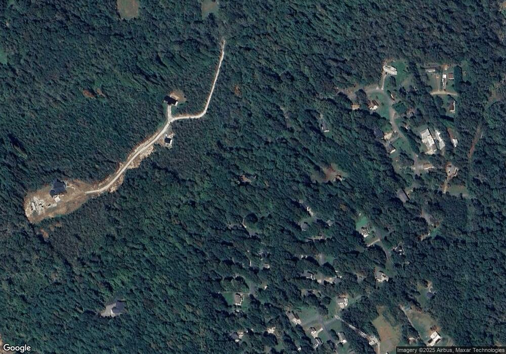
Map
Nearby Homes
- 4331 Acorn Trace
- 2522 Saratoga Run
- 2490 Saratoga Run
- 2301 Saratoga Run
- 4390 Belmont Dr
- 4391 Boulder Dr Unit 20
- 4314 Belmont Dr
- 1380 Jacobs Ln
- 1321 Birch Dr
- 00 Paul Shuping Ave
- 0 Paul Shuping Ave
- 202 Beacon Ave
- 1940 Paul Shuping Ave
- 307 Salem Rd
- 2153 S Fork Dr
- 4582 Burkemont Rd
- 110 Garrison Rd
- 206 Beacon Ave
- 204 Beacon Ave
- 1320 Burkemont Ave
- 4142 Shadowbrook Ct
- 4148 Shadowbrook Ct
- 1856 Wesley Rd
- 4070 Oak Hollow Dr
- 4149 Shadowbrook Ct
- 4156 Shadowbrook Ct
- 1839 Wesley Rd
- 1840 Wesley Rd
- 4082 Oak Hollow Dr
- 4157 Shadowbrook Ct
- 4094 Oak Hollow Dr
- 4094 Oak Hollow Dr
- 4071 Oak Hollow Dr
- 1849 Wesley Rd
- 4164 Shadowbrook Ct
- 1849 Wesley Dr
- 4165 Shadowbrook Ct
- 4106 Oak Hollow Dr
- 4083 Oak Hollow Dr
- 1822 Wesley Rd
Your Personal Tour Guide
Ask me questions while you tour the home.