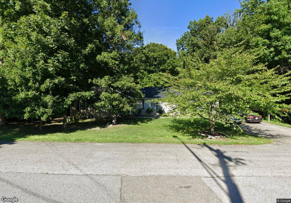
18611 Independence Rd Accokeek, MD 20607
Estimated Value: $523,000 - $553,025
--
Bed
3
Baths
2,364
Sq Ft
$226/Sq Ft
Est. Value
About This Home
This home is located at 18611 Independence Rd, Accokeek, MD 20607 and is currently estimated at $535,006, approximately $226 per square foot. 18611 Independence Rd is a home located in Prince George's County with nearby schools including Accokeek Academy and Gwynn Park High School.
Ownership History
Date
Name
Owned For
Owner Type
Purchase Details
Closed on
Jul 16, 2024
Sold by
Roots Wanda Cecelia and Roots Duane A
Bought by
Eadn Rei Llc
Current Estimated Value
Purchase Details
Closed on
Sep 27, 2005
Sold by
Carter Annette
Bought by
Roots Duane
Home Financials for this Owner
Home Financials are based on the most recent Mortgage that was taken out on this home.
Original Mortgage
$72,000
Interest Rate
5.54%
Mortgage Type
Credit Line Revolving
Purchase Details
Closed on
May 7, 2002
Sold by
Birkett Ernest
Bought by
Carter Annette and Carter James W
Purchase Details
Closed on
Jul 10, 2001
Sold by
Bruso Leo
Bought by
Birkett Ernest
Purchase Details
Closed on
Sep 3, 1998
Sold by
Realty Investments Assoc Iii
Bought by
Bruso Leo
Create a Home Valuation Report for This Property
The Home Valuation Report is an in-depth analysis detailing your home's value as well as a comparison with similar homes in the area
Home Values in the Area
Average Home Value in this Area
Purchase History
| Date | Buyer | Sale Price | Title Company |
|---|---|---|---|
| Eadn Rei Llc | $345,346 | Sanctuary Title | |
| Eadn Rei Llc | $345,346 | Sanctuary Title | |
| Roots Duane | $360,000 | -- | |
| Carter Annette | $253,650 | -- | |
| Birkett Ernest | $25,000 | -- | |
| Bruso Leo | $5,000 | -- |
Source: Public Records
Mortgage History
| Date | Status | Borrower | Loan Amount |
|---|---|---|---|
| Previous Owner | Roots Duane | $72,000 | |
| Previous Owner | Roots Duane | $288,000 |
Source: Public Records
Tax History Compared to Growth
Tax History
| Year | Tax Paid | Tax Assessment Tax Assessment Total Assessment is a certain percentage of the fair market value that is determined by local assessors to be the total taxable value of land and additions on the property. | Land | Improvement |
|---|---|---|---|---|
| 2025 | $7,716 | $512,900 | -- | -- |
| 2024 | $7,716 | $472,800 | $107,700 | $365,100 |
| 2023 | $4,876 | $438,467 | $0 | $0 |
| 2022 | $6,694 | $404,133 | $0 | $0 |
| 2021 | $6,184 | $369,800 | $103,800 | $266,000 |
| 2020 | $5,838 | $346,500 | $0 | $0 |
| 2019 | $5,492 | $323,200 | $0 | $0 |
| 2018 | $5,145 | $299,900 | $78,800 | $221,100 |
| 2017 | $4,860 | $280,700 | $0 | $0 |
| 2016 | -- | $261,500 | $0 | $0 |
| 2015 | $4,617 | $242,300 | $0 | $0 |
| 2014 | $4,617 | $242,300 | $0 | $0 |
Source: Public Records
Map
Nearby Homes
- 18408 Indian Head Hwy
- 7387 Gabriel Dr
- 1904 Catherine Fran Dr
- 2016 Spring Grove Dr
- 2100 S Alleva Ct
- 17930 Beech Ln
- 0 Beech Ln Unit PARCEL 27
- 1408 River Birch Place
- 0 Billingsley Rd Unit MDCH2042444
- 7285 Billingsley Rd
- 6995 Keys Place
- 2605 Marshall Hall Rd
- 1530 Shellford Ln
- 3420 Prince Edward Dr
- 6982 Strawberry Dr
- 2065 Red Spruce Ct
- 6850 Matthews Rd
- 6925 Rock Spring Place
- 2750 Coppersmith Place
- 6847 Heathway Ct
- 18603 Independence Rd
- 18606 Independence Rd
- 18604 Independence Rd
- 18620 Dysons Ln
- 18601 Independence Rd
- 18510 Shanna Dr
- 18602 Independence Rd
- 18505 Shanna Dr
- 18702 Independence Rd
- 18600 Independence Rd
- 18508 Shanna Dr
- 18625 Independence Rd
- 18704 Independence Rd
- 18610 Dysons Ln
- 2304 Loretta Ct
- 18506 Shanna Dr
- 2302 Loretta Ct
- 2300 Loretta Ct
- 18504 Shanna Dr
- 18706 Independence Rd