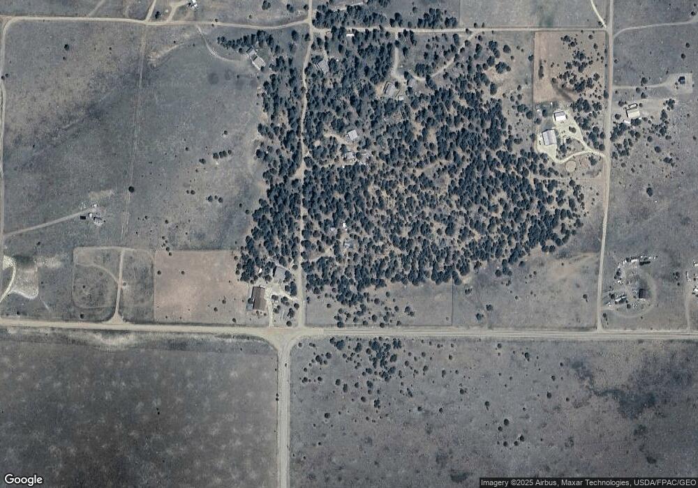
1862 21st Trail Cotopaxi, CO 81223
Estimated Value: $215,465 - $288,000
1
Bed
1
Bath
681
Sq Ft
$354/Sq Ft
Est. Value
About This Home
This home is located at 1862 21st Trail, Cotopaxi, CO 81223 and is currently estimated at $240,866, approximately $353 per square foot. 1862 21st Trail is a home located in Fremont County with nearby schools including Cotopaxi Elementary School and Cotopaxi Junior/Senior High School.
Ownership History
Date
Name
Owned For
Owner Type
Purchase Details
Closed on
May 23, 2018
Sold by
Bressler Carin B and The Estate Of Joseph Daniel Ke
Bought by
Bressler Carin B
Current Estimated Value
Purchase Details
Closed on
Jul 1, 2017
Sold by
Smith Clifford E and Smith Marcia K
Bought by
Bressler Carin Barton and Kempf Joseph Daniel
Purchase Details
Closed on
Apr 24, 2014
Sold by
Everhart Adelaide M
Bought by
Smith Clifford E and Smith Macia K
Home Financials for this Owner
Home Financials are based on the most recent Mortgage that was taken out on this home.
Original Mortgage
$79,000
Interest Rate
3.25%
Mortgage Type
Adjustable Rate Mortgage/ARM
Purchase Details
Closed on
Oct 20, 1997
Sold by
Bertoli Trust
Bought by
Everhart
Purchase Details
Closed on
May 15, 1996
Sold by
Bertoli
Bought by
Bertoli
Create a Home Valuation Report for This Property
The Home Valuation Report is an in-depth analysis detailing your home's value as well as a comparison with similar homes in the area
Purchase History
| Date | Buyer | Sale Price | Title Company |
|---|---|---|---|
| Bressler Carin B | -- | None Available | |
| Bressler Carin Barton | $112,500 | None Available | |
| Smith Clifford E | $109,000 | Stewart Title | |
| Everhart | $62,500 | -- | |
| Bertoli | -- | -- |
Source: Public Records
Mortgage History
| Date | Status | Borrower | Loan Amount |
|---|---|---|---|
| Previous Owner | Smith Clifford E | $79,000 |
Source: Public Records
Tax History Compared to Growth
Tax History
| Year | Tax Paid | Tax Assessment Tax Assessment Total Assessment is a certain percentage of the fair market value that is determined by local assessors to be the total taxable value of land and additions on the property. | Land | Improvement |
|---|---|---|---|---|
| 2024 | $467 | $13,920 | $0 | $0 |
| 2023 | $467 | $9,643 | $0 | $0 |
| 2022 | $413 | $8,900 | $0 | $0 |
| 2021 | $416 | $9,156 | $0 | $0 |
| 2020 | $372 | $8,350 | $0 | $0 |
| 2019 | $372 | $8,350 | $0 | $0 |
| 2018 | $306 | $6,861 | $0 | $0 |
| 2017 | $307 | $6,861 | $0 | $0 |
| 2016 | $285 | $6,380 | $0 | $0 |
| 2015 | $284 | $6,380 | $0 | $0 |
| 2012 | $120 | $2,919 | $1,373 | $1,546 |
Source: Public Records
Map
Nearby Homes
- TBD 20th Trail
- 1263 23rd Trail
- TR-36 23rd Trail
- 1888 19th Trail
- 1839 19th Trail
- 0 Trail
- TBD 21st Trail
- 1838 17th Trail
- 1812 17th Trail
- 99 Bradburn Rd
- 1204 Hitching Post Rd
- 2225 P Path
- 1204 Hitching Post Rd
- 1739 17th Trail
- 177 County Road 27a
- 0 21st Trail Unit REC1871091
- 1806 Corral Rd N
- Lot 90 7th Trail
- 2176 L Path
- 0 Q Path Unit 7992612
- 1887 21st Trail Unit 67
- 1887 21st Trail
- 3185 County Road 29 Unit FRE
- 2176 R Path
- 2076 R Path
- 37 23rd Trail
- 36 23rd Trail
- 1888 23rd Trail
- TBD #2 23rd Trail
- TBD F Path & 21st Trail
- 1613 20th Trail Unit lght
- 1613 20th Trail Unit 115
- 1613 20th Trail
- TBD L MB 20th Trail
- 2226 R Path
- 1863 20th Trail
- 1812 20th Trail
- 0 23rd Trail
- TBD L 23rd Trail
- 1839 23rd Trail
