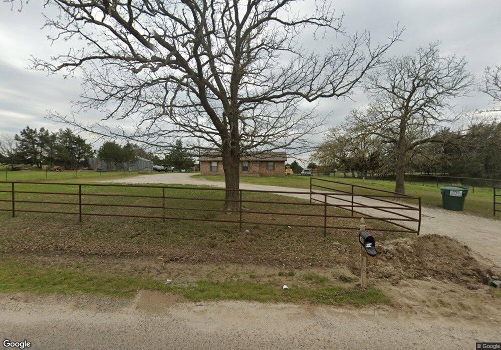
1862 County Road 132 Whitesboro, TX 76273
Estimated Value: $446,000 - $509,289
3
Beds
2
Baths
1,439
Sq Ft
$327/Sq Ft
Est. Value
About This Home
This home is located at 1862 County Road 132, Whitesboro, TX 76273 and is currently estimated at $470,822, approximately $327 per square foot. 1862 County Road 132 is a home located in Cooke County with nearby schools including J.W. Hayes Primary School, Whitesboro Intermediate School, and Whitesboro Middle School.
Ownership History
Date
Name
Owned For
Owner Type
Purchase Details
Closed on
May 20, 2015
Sold by
Westfall Michael R and Westfall Jean Wilson
Bought by
Burns Richard
Current Estimated Value
Home Financials for this Owner
Home Financials are based on the most recent Mortgage that was taken out on this home.
Original Mortgage
$186,558
Outstanding Balance
$143,668
Interest Rate
3.75%
Mortgage Type
FHA
Estimated Equity
$327,154
Create a Home Valuation Report for This Property
The Home Valuation Report is an in-depth analysis detailing your home's value as well as a comparison with similar homes in the area
Home Values in the Area
Average Home Value in this Area
Purchase History
| Date | Buyer | Sale Price | Title Company |
|---|---|---|---|
| Burns Richard | -- | None Available |
Source: Public Records
Mortgage History
| Date | Status | Borrower | Loan Amount |
|---|---|---|---|
| Open | Burns Richard | $186,558 |
Source: Public Records
Tax History Compared to Growth
Tax History
| Year | Tax Paid | Tax Assessment Tax Assessment Total Assessment is a certain percentage of the fair market value that is determined by local assessors to be the total taxable value of land and additions on the property. | Land | Improvement |
|---|---|---|---|---|
| 2025 | $4,097 | $352,326 | $216,347 | $177,012 |
| 2024 | $4,097 | $393,359 | $216,347 | $177,012 |
| 2023 | $4,265 | $291,178 | $215,159 | $168,979 |
| 2022 | $4,416 | $398,691 | $215,159 | $183,532 |
| 2021 | $4,899 | $240,643 | $107,520 | $133,123 |
| 2020 | $4,359 | $223,198 | $101,550 | $121,648 |
| 2019 | $4,022 | $197,383 | $101,550 | $95,833 |
| 2018 | $3,666 | $188,837 | $101,550 | $87,287 |
| 2017 | $3,368 | $157,866 | $75,700 | $82,166 |
| 2015 | -- | $130,693 | $75,700 | $54,993 |
| 2014 | -- | $130,407 | $75,700 | $54,707 |
Source: Public Records
Map
Nearby Homes
- 204 County Road 107
- Lot 6 County Road 132
- Lot 5 County Road 132
- Lot 4 County Road 132
- Lot 7 County Road 132
- Lot 3 County Road 132
- TBD County Road 132
- 203 Eastern Valley Ln
- 1429 County Road 140
- 14279 Fm 678
- 32 Ac Cr 167
- 3.00 Acres Farm To Market Road 678
- 993 County Line Rd
- 641 Cr 167 St
- 615 Cr 167
- 13023 Big Indian Rd
- 37.38 Farm To Market Road 678
- 3285 Roland Rd
- 409 Austin St
- 491 Navajo Rd
- 279 County Road 160
- 313 County Road 160
- 297 County Road 160
- 327 County Road 160
- 1990 County Road 132
- 341 County Road 160
- 261 County Road 160
- 237 County Rd
- 237 County Road 160
- 2020 County Road 132
- 237 Cr-160
- 342 County Road 160
- 203 County Road 160
- 278 County Road 160
- 320 County Road 160
- 157 County Road 160
- 352 County Road 160
- 210 County Road 160
- 119 County Road 160
- 130 County Road 160