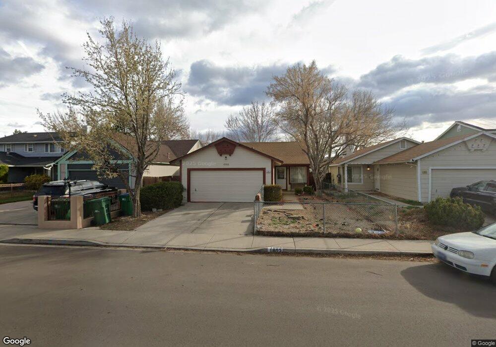
1862 Union St Sparks, NV 89434
O'Callaghan NeighborhoodEstimated Value: $410,000 - $446,000
3
Beds
2
Baths
1,250
Sq Ft
$341/Sq Ft
Est. Value
About This Home
This home is located at 1862 Union St, Sparks, NV 89434 and is currently estimated at $426,286, approximately $341 per square foot. 1862 Union St is a home located in Washoe County with nearby schools including Katherine Dunn Elementary School, George L Dilworth Middle School, and Edward C Reed High School.
Ownership History
Date
Name
Owned For
Owner Type
Purchase Details
Closed on
Jan 6, 2010
Sold by
Book David E and Moreton Hall Lucy A
Bought by
Book David E and Moreton Hall Lucy A
Current Estimated Value
Purchase Details
Closed on
Sep 20, 2002
Sold by
Reed Barbara A and Reed Daniel H
Bought by
Brook David E and Moreton Hall Lucy A
Home Financials for this Owner
Home Financials are based on the most recent Mortgage that was taken out on this home.
Original Mortgage
$104,500
Outstanding Balance
$42,567
Interest Rate
6.16%
Estimated Equity
$383,719
Create a Home Valuation Report for This Property
The Home Valuation Report is an in-depth analysis detailing your home's value as well as a comparison with similar homes in the area
Home Values in the Area
Average Home Value in this Area
Purchase History
| Date | Buyer | Sale Price | Title Company |
|---|---|---|---|
| Book David E | -- | None Available | |
| Brook David E | $149,000 | First Centennial Title Co |
Source: Public Records
Mortgage History
| Date | Status | Borrower | Loan Amount |
|---|---|---|---|
| Open | Brook David E | $104,500 |
Source: Public Records
Tax History
| Year | Tax Paid | Tax Assessment Tax Assessment Total Assessment is a certain percentage of the fair market value that is determined by local assessors to be the total taxable value of land and additions on the property. | Land | Improvement |
|---|---|---|---|---|
| 2026 | $1,170 | $65,134 | $34,650 | $30,484 |
| 2024 | $1,519 | $64,926 | $32,725 | $32,201 |
| 2023 | $1,476 | $63,182 | $32,305 | $30,877 |
| 2022 | $1,433 | $52,082 | $26,005 | $26,077 |
| 2021 | $1,392 | $46,123 | $19,845 | $26,278 |
| 2020 | $1,354 | $46,394 | $19,775 | $26,619 |
| 2019 | $1,286 | $44,932 | $18,935 | $25,997 |
| 2018 | $1,248 | $39,670 | $13,965 | $25,705 |
| 2017 | $1,205 | $38,158 | $12,670 | $25,488 |
| 2016 | $1,175 | $37,669 | $11,410 | $26,259 |
| 2015 | $1,173 | $36,082 | $9,625 | $26,457 |
| 2014 | $1,137 | $33,902 | $8,225 | $25,677 |
| 2013 | -- | $30,365 | $6,090 | $24,275 |
Source: Public Records
Map
Nearby Homes
- 1674 Sabatino Dr
- 1655 Sabatino Dr
- 2140 Burnside Dr
- 2227 Valencia Way
- 1236 Flora Glen Dr
- 2407 Sunny Slope Dr Unit 1
- 1544 Woodhaven Ln
- 2507 Sycamore Glen Dr Unit 5
- 1308 Coachman Dr
- 2264 Fernwood Ct
- 2625 Sunny Slope Dr
- 2625 Sunny Slope Dr Unit 2
- 2627 Sunny Slope Dr Unit 5
- 2624 Sunny Slope Dr Unit 10
- 2659 Sycamore Glen Dr Unit 5
- 2679 Sycamore Glen Dr Unit 4
- 1218 Junction Dr
- 1357 Coupler Ct
- 2688 Laguna Way
- 1695 Atlantic Way
- 1872 Union St
- 1842 Union St
- 1882 Union St
- 1832 Union St
- 1931 Burnside Dr
- 1941 Burnside Dr
- 1921 Burnside Dr
- 1892 Union St
- 1822 Union St
- 1951 Burnside Dr
- 1911 Burnside Dr
- 1961 Burnside Dr
- 1863 Union St
- 1843 Union St
- 1901 Burnside Dr
- 1802 Union St
- 1902 Union St
- 1873 Union St
- 1833 Union St
- 1883 Union St
Your Personal Tour Guide
Ask me questions while you tour the home.