1862 W Side Rd Block Island, RI 02807
Estimated Value: $619,282 - $1,568,000
3
Beds
2
Baths
1,664
Sq Ft
$642/Sq Ft
Est. Value
About This Home
This home is located at 1862 W Side Rd, Block Island, RI 02807 and is currently estimated at $1,067,821, approximately $641 per square foot. 1862 W Side Rd is a home with nearby schools including Block Island School.
Ownership History
Date
Name
Owned For
Owner Type
Purchase Details
Closed on
Oct 31, 2008
Sold by
Rhode Island Hsng & Mtg
Bought by
Evans Patrick T and Mello Kathleen E
Current Estimated Value
Home Financials for this Owner
Home Financials are based on the most recent Mortgage that was taken out on this home.
Original Mortgage
$190,000
Outstanding Balance
$123,170
Interest Rate
5.83%
Mortgage Type
Purchase Money Mortgage
Estimated Equity
$944,651
Create a Home Valuation Report for This Property
The Home Valuation Report is an in-depth analysis detailing your home's value as well as a comparison with similar homes in the area
Home Values in the Area
Average Home Value in this Area
Purchase History
| Date | Buyer | Sale Price | Title Company |
|---|---|---|---|
| Evans Patrick T | $204,301 | -- |
Source: Public Records
Mortgage History
| Date | Status | Borrower | Loan Amount |
|---|---|---|---|
| Closed | Evans Patrick T | $20,000 | |
| Open | Evans Patrick T | $190,000 |
Source: Public Records
Tax History Compared to Growth
Tax History
| Year | Tax Paid | Tax Assessment Tax Assessment Total Assessment is a certain percentage of the fair market value that is determined by local assessors to be the total taxable value of land and additions on the property. | Land | Improvement |
|---|---|---|---|---|
| 2024 | $1,128 | $204,300 | $0 | $204,300 |
| 2023 | $1,230 | $204,300 | $0 | $204,300 |
| 2022 | $1,157 | $163,440 | $0 | $163,440 |
| 2021 | $1,095 | $163,440 | $0 | $163,440 |
| 2020 | $1,039 | $163,440 | $0 | $163,440 |
| 2019 | $1,007 | $163,440 | $0 | $163,440 |
| 2018 | $972 | $163,440 | $0 | $163,440 |
| 2017 | $958 | $163,440 | $0 | $163,440 |
| 2016 | $935 | $163,440 | $0 | $163,440 |
| 2015 | $1,126 | $204,300 | $0 | $204,300 |
| 2014 | $1,091 | $204,300 | $0 | $204,300 |
| 2013 | $1,064 | $204,300 | $0 | $204,300 |
Source: Public Records
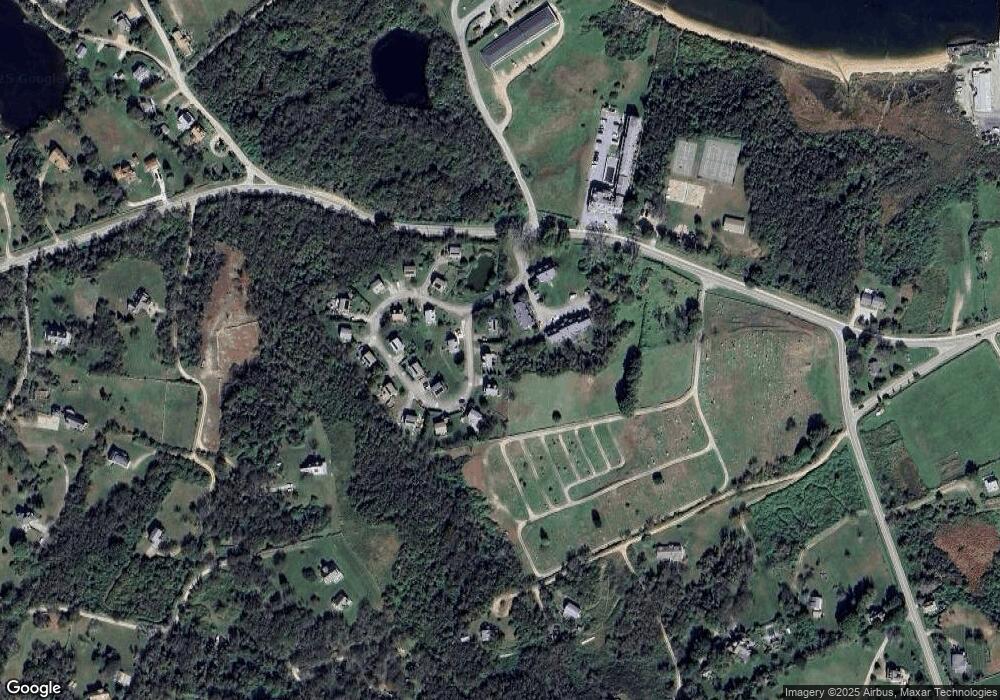
Map
Nearby Homes
- 1501 Beacon Hill Rd
- 0 Coast Guard Rd
- 1557 W Side Rd
- 1210 Graces Cove Rd
- 1596 W Side Rd
- 481 Old Town Rd
- 1087 Lakeside Dr
- 1743 Corn Neck Rd
- 256 High St
- 1289 High St
- 1713 Corn Neck Rd
- 1328 Cooneymus Rd
- 1720 Corn Neck Rd
- 1661 Sand Pond Rd
- 194 Pilot Hill Rd
- 0 Snake Hole Rd
- 1448 Mohegan Trail
- 804 Mohegan Trail
- 1035 Mohegan Trail
- 0 Mohegan Trail
- 1868 W Side Rd
- 1869 W Side Rd
- 1871 W Side Rd
- 1860 W Side Rd
- 1866 W Side Rd
- 1865 W Side Rd
- 1876 W Side Rd
- 1874 W Side Rd
- 1878 W Side Rd
- 1879 W Side Rd
- 1820 W Side Rd
- 1842 W Side Rd
- 1828 Beacon Hill Rd
- 1522 W Side Rd
- 1536 W Side Rd
- 1102 W Side Rd
- 1070 Beacon Hill Rd
- 1532 W Side Rd
- 1572 Beacon Hill Rd
- 1171 W Side Rd